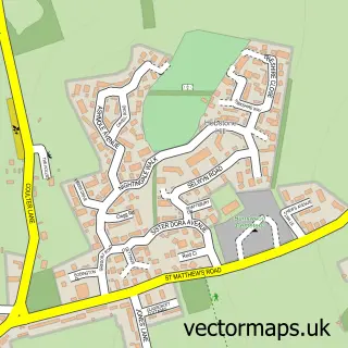
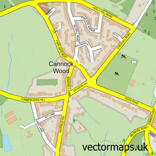
This Chasetown street map is a detailed vector street map covering a 750m x 750m area. Select a larger area to create and download your own vector street map of Chasetown.
The 750-metre map sample for Chasetown covers 469 mapped buildings and approximately 26.0 km of road detail, of which 33 named roads are named. The immediate area includes 2 schools, 8 GP surgeries within 2 miles, 4 pubs and 11 MOT stations within 2 miles. The wider area around Chasetown features 1 tourism point of interest and 6 food and drink venues. To create a larger or custom map of Chasetown, the map builder lets you define your own coverage area and download editable SVG, PDF and PNG files.
Create a larger editable map of Chasetown
Choose any area you need and generate a high-quality vector map instantly. Perfect for print, planning, design, business and personal use.

This Chasetown street map in Staffordshire is available as downloadable SVG, PDF and PNG map files, or as a printed map for planning, business, display, education, local information and design work. You can also create a larger custom map area using the map selector.
What this Chasetown map sample shows
Chasetown lies within Burntwood Cp parish, part of Chase Terrace ward in the Lichfield District local authority area. The postcode geography for this area includes the WS postcode area, the WS7 postcode district and the WS7 1 postcode sector. Residents fall under the Nhs Staffordshire And Stoke-On-Trent Integrated Care Board for NHS services.
Local features near Chasetown
Within 2 milesAmenities and services in and around Chasetown.
Administrative and postcode information for Chasetown
The local authority covering Chasetown is Lichfield District, within the county of Staffordshire. The settlement lies within Chase Terrace ward and Burntwood Cp civil parish. The WS7 postcode district and WS7 1 postcode sector serve the immediate area. NHS provision in the area is delivered through University Hospitals Of Derby And Burton Nhs Foundation Trust.
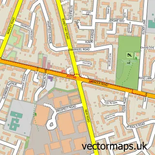
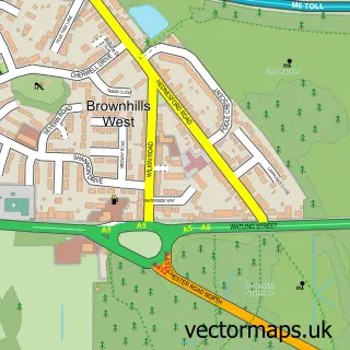
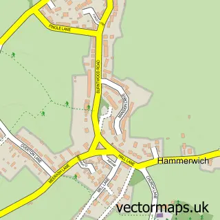
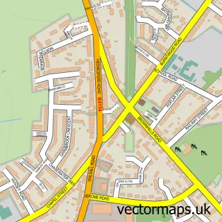
Nearby street map samples around Chasetown

More street maps in Staffordshire
750 metre map area coverage
Boundary, postcode and point of interest information for the 750m x 750m rectangle centred on this sample map.
Boundaries containing map centre
Constituency: Lichfield Co Const
County: Staffordshire County
District: Lichfield District
Icb: NHS Black Country ICB
Parish: Burntwood CP
Police Force: staffordshire
Postcode District: WS7
Postcode Sector: WS7 4
Ward: Chasetown Ward
Nearby boundaries intersecting sample
Parish: Hammerwich CP
Postcode Sector: WS7 3
Ward: Hammerwich with Wall Ward, Summerfield & All Saints Ward
Postcode coverage
POI category counts
Contractor: 4
Furniture Store: 4
Pub: 4
Barber: 3
Beauty And Spa: 3
Chinese Restaurant: 3
Dentist: 3
Food Delivery Service: 3
Hair Salon: 3
Assisted Living Facility: 2
Sample points of interest
- Burntwood Lions
- Platinum Community Care Ltd.
- Vicarage Court Nursing Home
- Daytona Valeting Services
- Daytona Motor Spares
- Millward Auto Electrics
- The Bakery - Chase Park
- Candles Unlimited
- Chasetown Barbers
- Claire's Barber Shop
- Sweeney Todds Barbershop
- Playa De Chasetown
Create a larger editable map of Chasetown
This sample shows only a 750 metre area. To create a larger map of Chasetown, use our map builder to choose your own coverage area, add titles and download editable SVG, PDF and PNG files.
Create a custom map of Chasetown