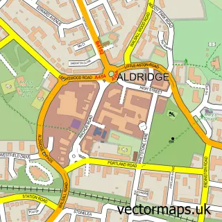
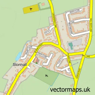
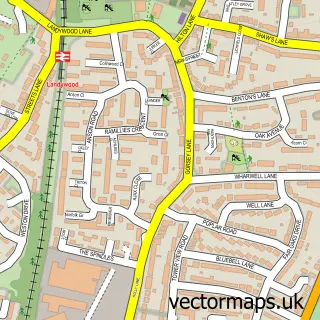
This Shelfield street map is a detailed vector street map covering a 750m x 750m area. Select a larger area to create and download your own vector street map of Shelfield.
The 750-metre map sample for Shelfield covers 383 mapped buildings and approximately 24.6 km of road detail, of which 46 named roads are named. The immediate area includes 2 schools, 10 GP surgeries within 2 miles, 2 pubs and 16 MOT stations within 2 miles. The wider area around Shelfield features 1 tourism point of interest and 5 food and drink venues. To create a larger or custom map of Shelfield, the map builder lets you define your own coverage area and download editable SVG, PDF and PNG files.
Create a larger editable map of Shelfield
Choose any area you need and generate a high-quality vector map instantly. Perfect for print, planning, design, business and personal use.

This Shelfield street map in West Midlands is available as downloadable SVG, PDF and PNG map files, or as a printed map for planning, business, display, education, local information and design work. You can also create a larger custom map area using the map selector.
What this Shelfield map sample shows
Shelfield lies within Walsall District (B) parish, part of Rushall-Shelfield ward in the Walsall District (B) local authority area. The postcode geography for this area includes the WS postcode area, the WS4 postcode district and the WS4 1 postcode sector. Residents fall under the Nhs Black Country Integrated Care Board for NHS services.
Local features near Shelfield
Within 2 milesAmenities and services in and around Shelfield.
Administrative and postcode information for Shelfield
Shelfield lies within Walsall District (B) parish, part of Rushall-Shelfield ward in the Walsall District (B) local authority area. The postcode geography for this area includes the WS postcode area, the WS4 postcode district and the WS4 1 postcode sector. Residents fall under the Nhs Black Country Integrated Care Board for NHS services.
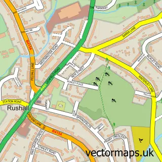
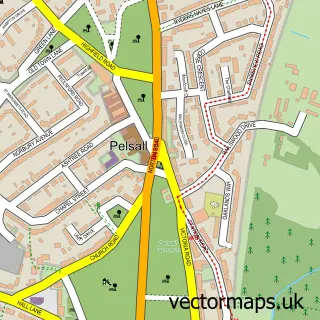
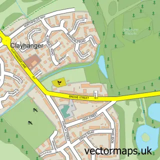
Nearby street map samples around Shelfield

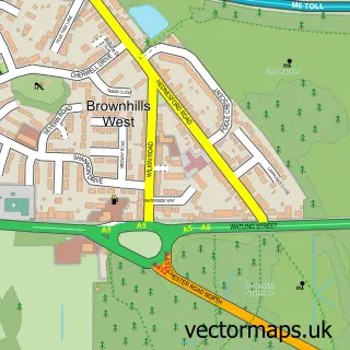
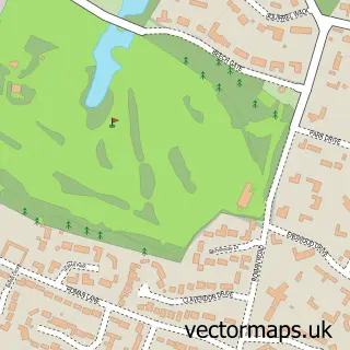
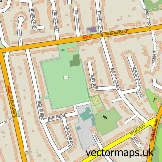
More street maps in West Midlands
750 metre map area coverage
Boundary, postcode and point of interest information for the 750m x 750m rectangle centred on this sample map.
Boundaries containing map centre
Constituency: Aldridge-Brownhills Boro Const
District: Walsall District (B)
Icb: NHS Black Country ICB
Police Force: west midlands
Postcode District: WS4
Postcode Sector: WS4 1
Ward: Rushall-Shelfield Ward
Nearby boundaries intersecting sample
No additional intersecting boundaries found.
Postcode coverage
POI category counts
Gas Station: 5
Metals: 3
Barber: 2
Coffee Shop: 2
Convenience Store: 2
Day Care Preschool: 2
Hair Salon: 2
Post Office: 2
Pub: 2
Shipping Center: 2
Sample points of interest
- Radhuni Contemporary Indian Cuisine
- PayPoint
- A.M Mobile Mechanics
- GREGGS
- Four Crosses
- No 7 Barber Shop
- Turkish Barber By Ali
- C B Beautiful SPMU & Aesthetics
- Subway
- Burger Shack
- Hello Foto Booths
- Edgehill Valeting MOBILE
Create a larger editable map of Shelfield
This sample shows only a 750 metre area. To create a larger map of Shelfield, use our map builder to choose your own coverage area, add titles and download editable SVG, PDF and PNG files.
Create a custom map of Shelfield