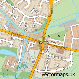
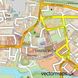
This Drayton Basset street map is a detailed vector street map covering a 750m x 750m area. Select a larger area to create and download your own vector street map of Drayton Basset.
The 750-metre map sample for Drayton Basset covers 165 mapped buildings and approximately 22.0 km of road detail, of which 9 named roads are named. The immediate area includes 1 school and 14 MOT stations within 2 miles. The wider area around Drayton Basset features 1 tourism point of interest and 1 campsite within 2 miles. To create a larger or custom map of Drayton Basset, the map builder lets you define your own coverage area and download editable SVG, PDF and PNG files.
Create a larger editable map of Drayton Basset
Choose any area you need and generate a high-quality vector map instantly. Perfect for print, planning, design, business and personal use.

This Drayton Basset street map in Staffordshire is available as downloadable SVG, PDF and PNG map files, or as a printed map for planning, business, display, education, local information and design work. You can also create a larger custom map area using the map selector.
What this Drayton Basset map sample shows
Drayton Basset lies within Drayton Bassett Cp parish, part of Bourne Vale ward in the Lichfield District local authority area. The postcode geography for this area includes the B postcode area, the B78 postcode district and the B78 3 postcode sector. Residents fall under the Nhs Staffordshire And Stoke-On-Trent Integrated Care Board for NHS services.
Local features near Drayton Basset
Within 2 milesAmenities and services in and around Drayton Basset.
Administrative and postcode information for Drayton Basset
The local authority covering Drayton Basset is Lichfield District, within the county of Staffordshire. The settlement lies within Bourne Vale ward and Drayton Bassett Cp civil parish. The B78 postcode district and B78 3 postcode sector serve the immediate area. NHS provision in the area is delivered through University Hospitals Birmingham Nhs Foundation Trust.
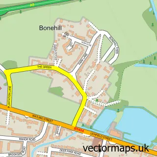
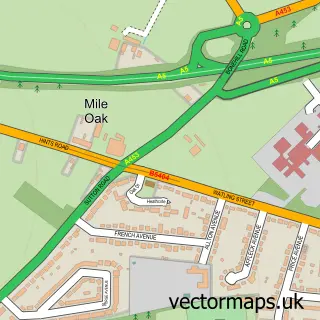
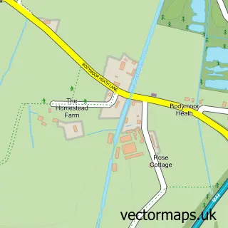
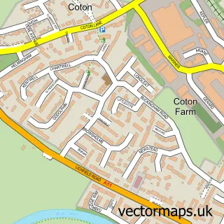
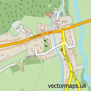
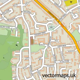
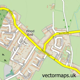
Nearby street map samples around Drayton Basset


More street maps in Staffordshire
750 metre map area coverage
Boundary, postcode and point of interest information for the 750m x 750m rectangle centred on this sample map.
Boundaries containing map centre
Constituency: Tamworth Co Const
County: Staffordshire County
District: Lichfield District
Icb: NHS Black Country ICB
Parish: Drayton Bassett CP
Police Force: staffordshire
Postcode District: B78
Postcode Sector: B78 3
Ward: Bourne Vale Ward
Nearby boundaries intersecting sample
Postcode Sector: B78 2
Postcode coverage
POI category counts
Anglican Church: 2
Candy Store: 1
Dog Walkers: 1
Elementary School: 1
Hvac Services: 1
Landmark And Historical Building: 1
Plumbing: 1
Printing Equipment And Supply: 1
Retail: 1
Sample points of interest
- St Peter's Church
- St Peter's, Drayton Bassett
- Cdsweets
- The Furry Dogmother Petcare and Walking
- Manor Primary School
- C K Plumbing & Heating
- Drayton Bassett
- Shears Plumbing Heating And Gas
- Alan Signs
- Buzzards Valley Artisan & Local Business Market
Create a larger editable map of Drayton Basset
This sample shows only a 750 metre area. To create a larger map of Drayton Basset, use our map builder to choose your own coverage area, add titles and download editable SVG, PDF and PNG files.
Create a custom map of Drayton Basset