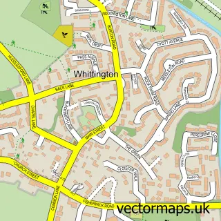
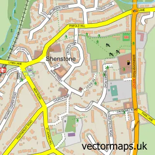
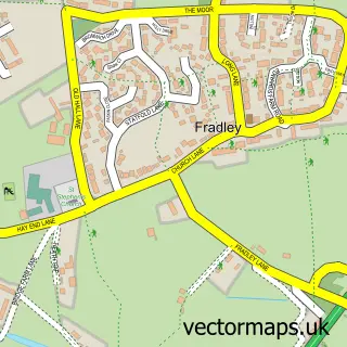
This Whittington Heath street map is a detailed vector street map covering a 750m x 750m area. Select a larger area to create and download your own vector street map of Whittington Heath.
The 750-metre map sample for Whittington Heath covers 86 mapped buildings and approximately 11.6 km of road detail, of which 8 named roads are named. The immediate area includes 1 MOT station within 2 miles. The wider area around Whittington Heath features 1 tourism point of interest. To create a larger or custom map of Whittington Heath, the map builder lets you define your own coverage area and download editable SVG, PDF and PNG files.
Create a larger editable map of Whittington Heath
Choose any area you need and generate a high-quality vector map instantly. Perfect for print, planning, design, business and personal use.

This Whittington Heath street map in Staffordshire is available as downloadable SVG, PDF and PNG map files, or as a printed map for planning, business, display, education, local information and design work. You can also create a larger custom map area using the map selector.
What this Whittington Heath map sample shows
Whittington Heath lies within Whittington Cp parish, part of Whittington & Streethay ward in the Lichfield District local authority area. The postcode geography for this area includes the WS postcode area, the WS14 postcode district and the WS14 9 postcode sector. Residents fall under the Nhs Staffordshire And Stoke-On-Trent Integrated Care Board for NHS services.
Local features near Whittington Heath
Within 2 milesAmenities and services in and around Whittington Heath.
Administrative and postcode information for Whittington Heath
Whittington Heath lies within Whittington Cp parish, part of Whittington & Streethay ward in the Lichfield District local authority area. The postcode geography for this area includes the WS postcode area, the WS14 postcode district and the WS14 9 postcode sector. Residents fall under the Nhs Staffordshire And Stoke-On-Trent Integrated Care Board for NHS services.
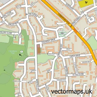
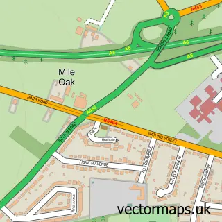
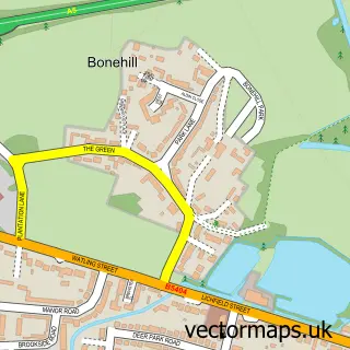
Nearby street map samples around Whittington Heath

More street maps in Staffordshire
750 metre map area coverage
Boundary, postcode and point of interest information for the 750m x 750m rectangle centred on this sample map.
Boundaries containing map centre
Constituency: Tamworth Co Const
County: Staffordshire County
District: Lichfield District
Icb: NHS Black Country ICB
Parish: Whittington CP
Police Force: staffordshire
Postcode District: WS14
Postcode Sector: WS14 9
Ward: Whittington & Streethay Ward
Nearby boundaries intersecting sample
No additional intersecting boundaries found.
Postcode coverage
POI category counts
Armed Forces Branch: 3
Library: 3
Art Museum: 1
Barber: 1
Education: 1
Golf Instructor: 1
Landmark And Historical Building: 1
Preschool: 1
Sample points of interest
- Lichfield Army Barracks
- The Defence Medical Services
- The Mercian Regiment
- Staffordshire Regiment Museum
- Whittington Barbershop
- Assignment Square
- WHGC Pro Shop
- Whittington Barracks
- DMLS Central Library
- MOD-Defence Medical Library Service
- Ministry of Defence-Burnett Library
- Whittington Preschool and Day Nursery
Create a larger editable map of Whittington Heath
This sample shows only a 750 metre area. To create a larger map of Whittington Heath, use our map builder to choose your own coverage area, add titles and download editable SVG, PDF and PNG files.
Create a custom map of Whittington Heath