This Fradley street map is a detailed vector street map covering a 750m x 750m area. Select a larger area to create and download your own vector street map of Fradley.
The 750-metre map sample for Fradley covers 322 mapped buildings and approximately 17.8 km of road detail, of which 22 named roads are named. The immediate area includes 1 school, 1 GP surgery within 2 miles and 3 MOT stations within 2 miles. To create a larger or custom map of Fradley, the map builder lets you define your own coverage area and download editable SVG, PDF and PNG files.
Create a larger editable map of Fradley
Choose any area you need and generate a high-quality vector map instantly. Perfect for print, planning, design, business and personal use.

This Fradley street map in Staffordshire is available as downloadable SVG, PDF and PNG map files, or as a printed map for planning, business, display, education, local information and design work. You can also create a larger custom map area using the map selector.
What this Fradley map sample shows
Fradley lies within Fradley And Streethay Cp parish, part of Alrewas & Fradley ward in the Lichfield District local authority area. The postcode geography for this area includes the WS postcode area, the WS13 postcode district and the WS13 8 postcode sector. Residents fall under the Nhs Staffordshire And Stoke-On-Trent Integrated Care Board for NHS services.
Local features near Fradley
Within 2 milesAmenities and services in and around Fradley.
Administrative and postcode information for Fradley
The local authority covering Fradley is Lichfield District, within the county of Staffordshire. The settlement lies within Alrewas & Fradley ward and Fradley And Streethay Cp civil parish. The WS13 postcode district and WS13 8 postcode sector serve the immediate area. NHS provision in the area is delivered through University Hospitals Of Derby And Burton Nhs Foundation Trust.
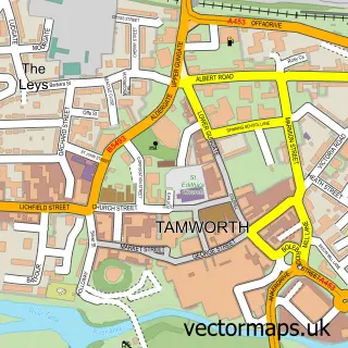
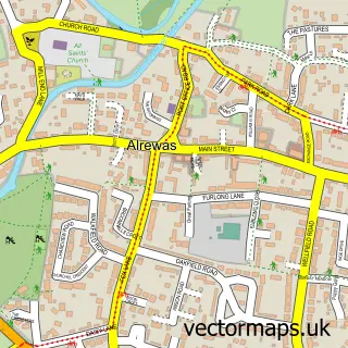
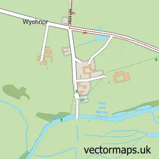
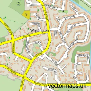
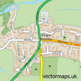
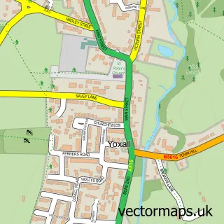
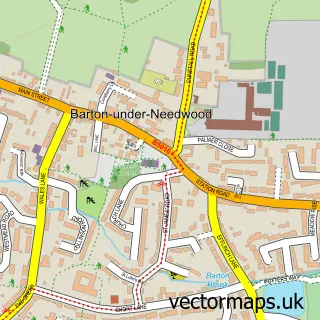
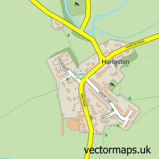
Nearby street map samples around Fradley


More street maps in Staffordshire
750 metre map area coverage
Boundary, postcode and point of interest information for the 750m x 750m rectangle centred on this sample map.
Boundaries containing map centre
Constituency: Lichfield Co Const
County: Staffordshire County
District: Lichfield District
Icb: NHS Staffordshire and Stoke-on-Trent ICB
Parish: Fradley CP
Police Force: staffordshire
Postcode District: WS13
Postcode Sector: WS13 8
Ward: Alrewas & Fradley Ward
Nearby boundaries intersecting sample
No additional intersecting boundaries found.
Postcode coverage
POI category counts
Advertising Agency: 2
Anglican Church: 2
Bar: 2
Community Center: 2
Cremation Services: 2
Elementary School: 2
Financial Service: 2
Health And Medical: 2
Language School: 2
Scout Hall: 2
Sample points of interest
- Arvada Strategic Marketing
- Sue Hutton Ashkenny Associates
- St Stephen's Church
- St Stephen's Fradley
- Building Design Consultancy
- T Cakes
- The Hurricane
- The Stay Inn
- P K Joinery And Interiors Ltd
- St Stephens School
- Fradley Village Hall
- Fradley Youth & Community Centre
Create a larger editable map of Fradley
This sample shows only a 750 metre area. To create a larger map of Fradley, use our map builder to choose your own coverage area, add titles and download editable SVG, PDF and PNG files.
Create a custom map of Fradley