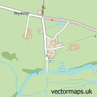
This Yoxall street map is a detailed vector street map covering a 750m x 750m area. Select a larger area to create and download your own vector street map of Yoxall.
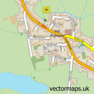
The 750-metre map sample for Yoxall covers 310 mapped buildings and approximately 23.9 km of road detail, of which 21 named roads are named. The immediate area includes 1 school, 1 GP surgery, 1 pub and 1 MOT station within 2 miles. The wider area around Yoxall features 1 food and drink venue. To create a larger or custom map of Yoxall, the map builder lets you define your own coverage area and download editable SVG, PDF and PNG files.
Create a larger editable map of Yoxall
Choose any area you need and generate a high-quality vector map instantly. Perfect for print, planning, design, business and personal use.

This Yoxall street map in Staffordshire is available as downloadable SVG, PDF and PNG map files, or as a printed map for planning, business, display, education, local information and design work. You can also create a larger custom map area using the map selector.
What this Yoxall map sample shows
Yoxall lies within Yoxall Cp parish, part of Yoxall ward in the East Staffordshire District (B) local authority area. The postcode geography for this area includes the DE postcode area, the DE13 postcode district and the DE13 8 postcode sector. Residents fall under the Nhs Staffordshire And Stoke-On-Trent Integrated Care Board for NHS services.
Local features near Yoxall
Within 2 milesAmenities and services in and around Yoxall.
Administrative and postcode information for Yoxall
Yoxall lies within Yoxall Cp parish, part of Yoxall ward in the East Staffordshire District (B) local authority area. The postcode geography for this area includes the DE postcode area, the DE13 postcode district and the DE13 8 postcode sector. Residents fall under the Nhs Staffordshire And Stoke-On-Trent Integrated Care Board for NHS services.
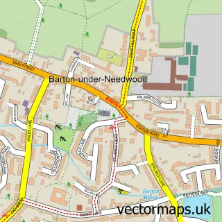
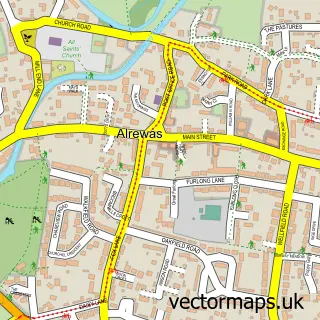
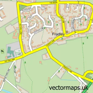
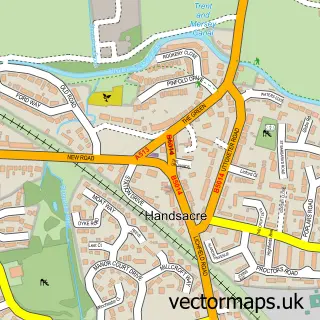
Nearby street map samples around Yoxall

More street maps in Staffordshire
750 metre map area coverage
Boundary, postcode and point of interest information for the 750m x 750m rectangle centred on this sample map.
Boundaries containing map centre
Constituency: Lichfield Co Const
County: Staffordshire County
District: East Staffordshire District (B)
Icb: NHS Staffordshire and Stoke-on-Trent ICB
Parish: Yoxall CP
Police Force: staffordshire
Postcode District: DE13
Postcode Sector: DE13 8
Ward: Bagots & Needwood Ward
Nearby boundaries intersecting sample
No additional intersecting boundaries found.
Postcode coverage
POI category counts
Doctor: 2
Anglican Church: 1
Antique Store: 1
Beauty Salon: 1
Beer Garden: 1
Business: 1
Business Management Services: 1
Church Cathedral: 1
Convenience Store: 1
Electrician: 1
Sample points of interest
- Saint Peter Church, Yoxall
- H W Heron Antiques
- Lydia's Hair & Beauty Rooms
- The Golden Cup
- WAG Associates
- Post Office-Yoxall
- St Peter's Church
- Premier
- Yoxall
- Yoxall Health Centre
- M & R Electrical
- Yoxall St Peter's C of E V C Primary School
Create a larger editable map of Yoxall
This sample shows only a 750 metre area. To create a larger map of Yoxall, use our map builder to choose your own coverage area, add titles and download editable SVG, PDF and PNG files.
Create a custom map of Yoxall