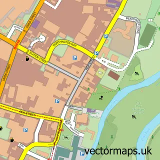
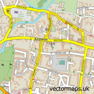
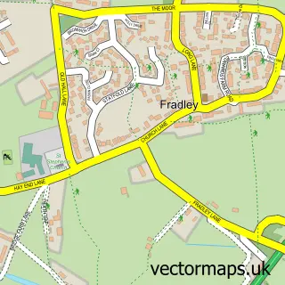
This Barton-under-Needwood street map is a detailed vector street map covering a 750m x 750m area. Select a larger area to create and download your own vector street map of Barton-under-Needwood.
The 750-metre map sample for Barton-under-Needwood covers 361 mapped buildings and approximately 20.2 km of road detail, of which 26 named roads are named. The immediate area includes 1 school, 1 GP surgery and 5 pubs. The wider area around Barton-under-Needwood features 7 food and drink venues. To create a larger or custom map of Barton-under-Needwood, the map builder lets you define your own coverage area and download editable SVG, PDF and PNG files.
Create a larger editable map of Barton-under-Needwood
Choose any area you need and generate a high-quality vector map instantly. Perfect for print, planning, design, business and personal use.

This Barton-under-Needwood street map in Staffordshire is available as downloadable SVG, PDF and PNG map files, or as a printed map for planning, business, display, education, local information and design work. You can also create a larger custom map area using the map selector.
What this Barton-under-Needwood map sample shows
Barton-under-Needwood lies within Barton-Under-Needwood Cp parish, part of Needwood ward in the East Staffordshire District (B) local authority area. The postcode geography for this area includes the DE postcode area, the DE13 postcode district and the DE13 8 postcode sector. Residents fall under the Nhs Staffordshire And Stoke-On-Trent Integrated Care Board for NHS services.
Local features near Barton-under-Needwood
Within 2 milesAmenities and services in and around Barton-under-Needwood.
Administrative and postcode information for Barton-under-Needwood
The local authority covering Barton-under-Needwood is East Staffordshire District (B), within the county of Staffordshire. The settlement lies within Needwood ward and Barton-Under-Needwood Cp civil parish. The DE13 postcode district and DE13 8 postcode sector serve the immediate area. NHS provision in the area is delivered through University Hospitals Of Derby And Burton Nhs Foundation Trust.
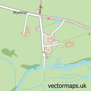
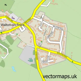
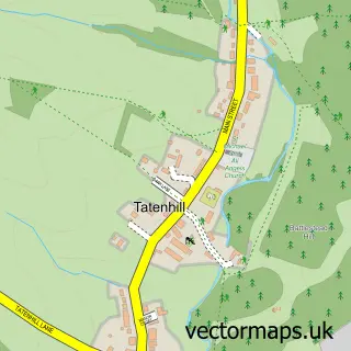
Nearby street map samples around Barton-under-Needwood

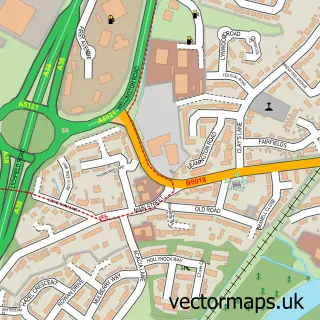
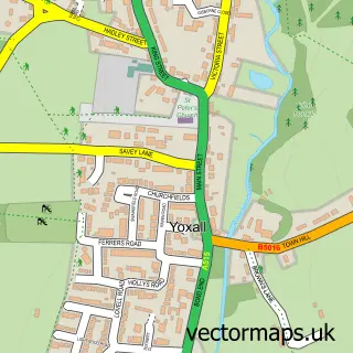
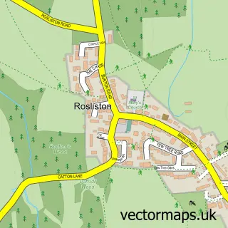
More street maps in Staffordshire
750 metre map area coverage
Boundary, postcode and point of interest information for the 750m x 750m rectangle centred on this sample map.
Boundaries containing map centre
Constituency: Lichfield Co Const
County: Staffordshire County
District: East Staffordshire District (B)
Icb: NHS Staffordshire and Stoke-on-Trent ICB
Parish: Barton-under-Needwood CP
Police Force: staffordshire
Postcode District: DE13
Postcode Sector: DE13 8
Ward: Bagots & Needwood Ward
Nearby boundaries intersecting sample
No additional intersecting boundaries found.
Postcode coverage
POI category counts
Pub: 5
Beauty Salon: 4
Employment Agencies: 4
Hair Salon: 4
Church Cathedral: 3
Professional Services: 3
Arts And Entertainment: 2
Bicycle Shop: 2
Community Center: 2
Doctor: 2
Sample points of interest
- St. James Barton
- Sweet Little
- Elsigood Associates
- Myrtle Aromatherapy
- Waterhouse Framing
- Central Stage
- Signature String Quartet
- Anchor - Barton Lodge
- Croghan Electrical
- The Gould Group International
- Hollys Bakes
- Lloyds Bank
Create a larger editable map of Barton-under-Needwood
This sample shows only a 750 metre area. To create a larger map of Barton-under-Needwood, use our map builder to choose your own coverage area, add titles and download editable SVG, PDF and PNG files.
Create a custom map of Barton-under-Needwood