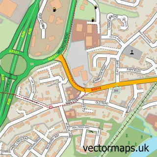
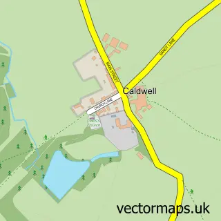
This Burton upon Trent street map is a detailed vector street map covering a 750m x 750m area. Select a larger area to create and download your own vector street map of Burton upon Trent.
The 750-metre map sample for Burton upon Trent covers 104 mapped buildings and approximately 12.8 km of road detail, of which 16 named roads are named. The immediate area includes 1 school, 8 GP surgeries within 2 miles, 12 pubs and 32 MOT stations within 2 miles. The wider area around Burton upon Trent features 2 tourism points of interest, 48 food and drink venues and 2 hotels. To create a larger or custom map of Burton upon Trent, the map builder lets you define your own coverage area and download editable SVG, PDF and PNG files.
Create a larger editable map of Burton upon Trent
Choose any area you need and generate a high-quality vector map instantly. Perfect for print, planning, design, business and personal use.

This Burton upon Trent street map in Staffordshire is available as downloadable SVG, PDF and PNG map files, or as a printed map for planning, business, display, education, local information and design work. You can also create a larger custom map area using the map selector.
What this Burton upon Trent map sample shows
Burton upon Trent lies within Winshill Cp parish, part of Winshill ward in the East Staffordshire District (B) local authority area. The postcode geography for this area includes the DE postcode area, the DE15 postcode district and the DE15 0 postcode sector. Residents fall under the Nhs Staffordshire And Stoke-On-Trent Integrated Care Board for NHS services.
Local features near Burton upon Trent
Within 2 milesAmenities and services in and around Burton upon Trent.
Administrative and postcode information for Burton upon Trent
Burton upon Trent lies within Winshill Cp parish, part of Winshill ward in the East Staffordshire District (B) local authority area. The postcode geography for this area includes the DE postcode area, the DE15 postcode district and the DE15 0 postcode sector. Residents fall under the Nhs Staffordshire And Stoke-On-Trent Integrated Care Board for NHS services.
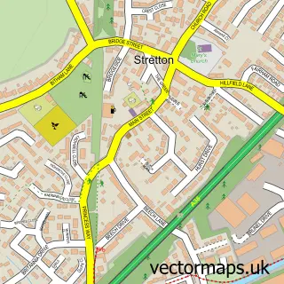
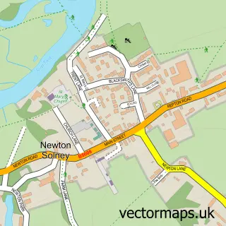
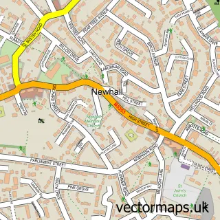
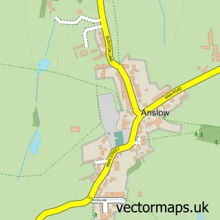
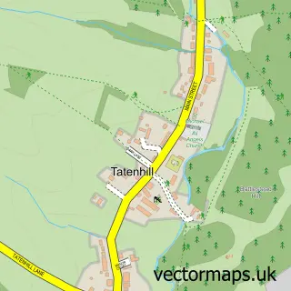
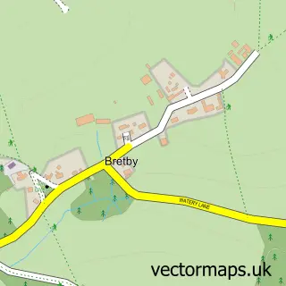
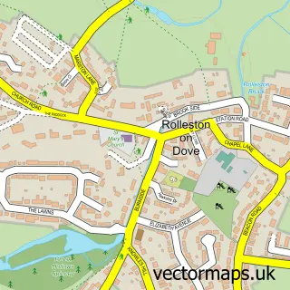
Nearby street map samples around Burton upon Trent

More street maps in Staffordshire
750 metre map area coverage
Boundary, postcode and point of interest information for the 750m x 750m rectangle centred on this sample map.
Boundaries containing map centre
Constituency: Burton and Uttoxeter Co Const
County: Staffordshire County
District: East Staffordshire District (B)
Icb: NHS Staffordshire and Stoke-on-Trent ICB
Parish: Burton CP
Police Force: staffordshire
Postcode District: DE14
Postcode Sector: DE14 1
Ward: Burton & Eton Ward
Nearby boundaries intersecting sample
Parish: Brizlincote CP
Postcode District: DE15
Postcode Sector: DE14 3, DE15 9
Ward: Brizlincote Ward
Postcode coverage
POI category counts
Beauty Salon: 25
Clothing Store: 21
Jewelry Store: 18
Real Estate Agent: 18
Beauty And Spa: 15
Hair Salon: 14
Restaurant: 13
Cafe: 12
Pub: 12
Coffee Shop: 11
Sample points of interest
- Reach Solutions Burton
- Social Mimi
- Pastiche Bistro
- Saint Modwen's
- Oxfam
- St Giles Hospice Burton-on-Trent
- Fragile Centre for Contemporary Art
- Whynot Gallery and Picture Framing
- Framing Lovely
- The Stitchcraft Centre
- Brewhouse Arts Centre
- Music Magpie
Create a larger editable map of Burton upon Trent
This sample shows only a 750 metre area. To create a larger map of Burton upon Trent, use our map builder to choose your own coverage area, add titles and download editable SVG, PDF and PNG files.
Create a custom map of Burton upon Trent