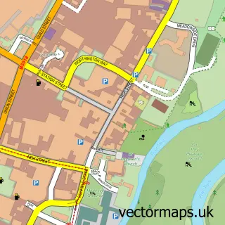
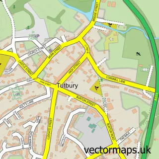
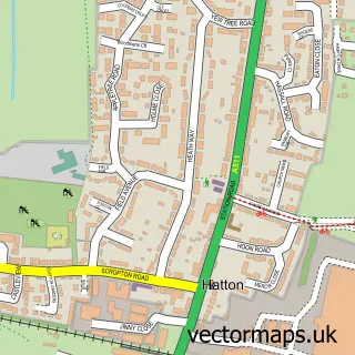
This Anslow street map is a detailed vector street map covering a 750m x 750m area. Select a larger area to create and download your own vector street map of Anslow.
The 750-metre map sample for Anslow covers 115 mapped buildings and approximately 9.1 km of road detail, of which 5 named roads are named. The immediate area includes 1 school, 1 GP surgery within 2 miles and 1 pub. The wider area around Anslow features 2 food and drink venues. To create a larger or custom map of Anslow, the map builder lets you define your own coverage area and download editable SVG, PDF and PNG files.
Create a larger editable map of Anslow
Choose any area you need and generate a high-quality vector map instantly. Perfect for print, planning, design, business and personal use.

This Anslow street map in Staffordshire is available as downloadable SVG, PDF and PNG map files, or as a printed map for planning, business, display, education, local information and design work. You can also create a larger custom map area using the map selector.
What this Anslow map sample shows
Anslow lies within Anslow Cp parish, part of Tutbury And Outwoods ward in the East Staffordshire District (B) local authority area. The postcode geography for this area includes the DE postcode area, the DE13 postcode district and the DE13 9 postcode sector. Residents fall under the Nhs Staffordshire And Stoke-On-Trent Integrated Care Board for NHS services.
Local features near Anslow
Within 2 milesAmenities and services in and around Anslow.
Administrative and postcode information for Anslow
Anslow lies within Anslow Cp parish, part of Tutbury And Outwoods ward in the East Staffordshire District (B) local authority area. The postcode geography for this area includes the DE postcode area, the DE13 postcode district and the DE13 9 postcode sector. Residents fall under the Nhs Staffordshire And Stoke-On-Trent Integrated Care Board for NHS services.
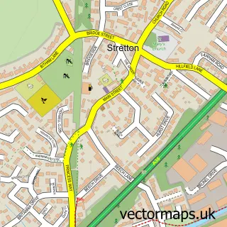
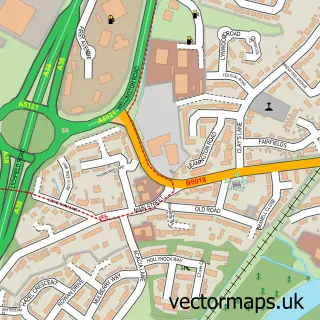
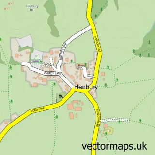
Nearby street map samples around Anslow

More street maps in Staffordshire
750 metre map area coverage
Boundary, postcode and point of interest information for the 750m x 750m rectangle centred on this sample map.
Boundaries containing map centre
Constituency: Burton and Uttoxeter Co Const
County: Staffordshire County
District: East Staffordshire District (B)
Icb: NHS Staffordshire and Stoke-on-Trent ICB
Parish: Anslow CP
Police Force: staffordshire
Postcode District: DE13
Postcode Sector: DE13 9
Ward: Dove Ward
Nearby boundaries intersecting sample
No additional intersecting boundaries found.
Postcode coverage
POI category counts
Flowers And Gifts Shop: 2
Furniture Store: 2
Charity Organization: 1
Coffee Shop: 1
Community Center: 1
Elementary School: 1
Equestrian Facility: 1
Farm: 1
Pub: 1
Specialty School: 1
Sample points of interest
- Anslow WI
- The Apple Tree
- Anslow Village Hall
- The Mosley Academy
- Poplars Farm Cross Country
- Anslow Eggs
- Flower Times
- The Florist Gate
- Revived and Restored
- Revived and Restored
- Bell Inn
- Leap Dance Midlands Anslow, Burton On Trent
Create a larger editable map of Anslow
This sample shows only a 750 metre area. To create a larger map of Anslow, use our map builder to choose your own coverage area, add titles and download editable SVG, PDF and PNG files.
Create a custom map of Anslow