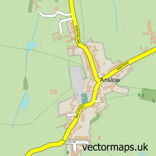
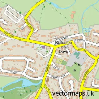
This Tatenhill street map is a detailed vector street map covering a 750m x 750m area. Select a larger area to create and download your own vector street map of Tatenhill.
The 750-metre map sample for Tatenhill covers 85 mapped buildings and approximately 5.5 km of road detail, of which 4 named roads are named. The immediate area includes 1 GP surgery within 2 miles, 1 pub and 4 MOT stations within 2 miles. The wider area around Tatenhill features 1 tourism point of interest and 1 food and drink venue. To create a larger or custom map of Tatenhill, the map builder lets you define your own coverage area and download editable SVG, PDF and PNG files.
Create a larger editable map of Tatenhill
Choose any area you need and generate a high-quality vector map instantly. Perfect for print, planning, design, business and personal use.

This Tatenhill street map in Staffordshire is available as downloadable SVG, PDF and PNG map files, or as a printed map for planning, business, display, education, local information and design work. You can also create a larger custom map area using the map selector.
What this Tatenhill map sample shows
Tatenhill lies within Tatenhill Cp parish, part of Needwood ward in the East Staffordshire District (B) local authority area. The postcode geography for this area includes the DE postcode area, the DE13 postcode district and the DE13 9 postcode sector. Residents fall under the Nhs Staffordshire And Stoke-On-Trent Integrated Care Board for NHS services.
Local features near Tatenhill
Within 2 milesAmenities and services in and around Tatenhill.
Administrative and postcode information for Tatenhill
The local authority covering Tatenhill is East Staffordshire District (B), within the county of Staffordshire. The settlement lies within Needwood ward and Tatenhill Cp civil parish. The DE13 postcode district and DE13 9 postcode sector serve the immediate area. NHS provision in the area is delivered through University Hospitals Of Derby And Burton Nhs Foundation Trust.
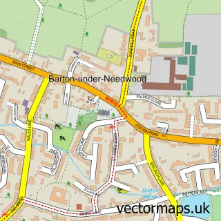
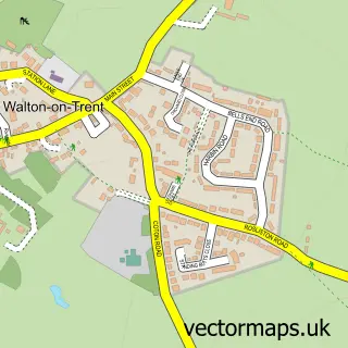
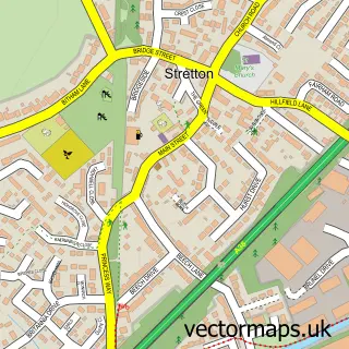
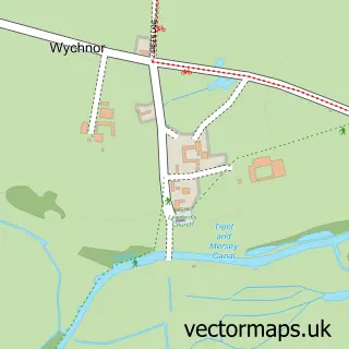
Nearby street map samples around Tatenhill

More street maps in Staffordshire
750 metre map area coverage
Boundary, postcode and point of interest information for the 750m x 750m rectangle centred on this sample map.
Boundaries containing map centre
Constituency: Lichfield Co Const
County: Staffordshire County
District: East Staffordshire District (B)
Icb: NHS Staffordshire and Stoke-on-Trent ICB
Parish: Tatenhill CP
Police Force: staffordshire
Postcode District: DE13
Postcode Sector: DE13 9
Ward: Bagots & Needwood Ward
Nearby boundaries intersecting sample
Constituency: Burton and Uttoxeter Co Const
Parish: Branston CP
Ward: Branston Ward
Postcode coverage
POI category counts
Anglican Church: 1
Church Cathedral: 1
Landmark And Historical Building: 1
Photography Store And Services: 1
Professional Services: 1
Pub: 1
Real Estate: 1
Session Photography: 1
Specialty School: 1
Sports Club And League: 1
Sample points of interest
- St Michael & All Angels
- St Michael and All Angels Church
- Battlestead Hill
- Lucinda Smith Photography
- Lucinda Smith Photography
- Horseshoe Inn
- The Cedars
- Lucinda Smith Photography Studio Wedding Portrait Photographers Burton On Trent
- Leap Dance Midlands Anslow
- Tatenhill Aikido Club
Create a larger editable map of Tatenhill
This sample shows only a 750 metre area. To create a larger map of Tatenhill, use our map builder to choose your own coverage area, add titles and download editable SVG, PDF and PNG files.
Create a custom map of Tatenhill