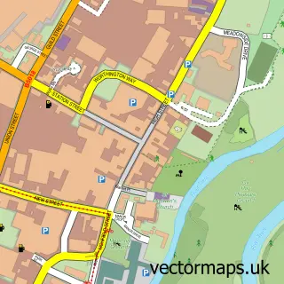
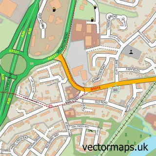
This Needwood street map is a detailed vector street map covering a 750m x 750m area. Select a larger area to create and download your own vector street map of Needwood.
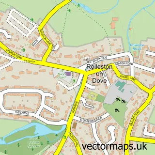
The 750-metre map sample for Needwood covers 20 mapped buildings and approximately 14.6 km of road detail. The immediate area includes 1 pub and 1 MOT station within 2 miles. The wider area around Needwood features 2 food and drink venues. To create a larger or custom map of Needwood, the map builder lets you define your own coverage area and download editable SVG, PDF and PNG files.
Create a larger editable map of Needwood
Choose any area you need and generate a high-quality vector map instantly. Perfect for print, planning, design, business and personal use.

This Needwood street map in Staffordshire is available as downloadable SVG, PDF and PNG map files, or as a printed map for planning, business, display, education, local information and design work. You can also create a larger custom map area using the map selector.
What this Needwood map sample shows
Needwood lies within Tatenhill Cp parish, part of Needwood ward in the East Staffordshire District (B) local authority area. The postcode geography for this area includes the DE postcode area, the DE13 postcode district and the DE13 9 postcode sector. Residents fall under the Nhs Staffordshire And Stoke-On-Trent Integrated Care Board for NHS services.
Local features near Needwood
Within 2 milesAmenities and services in and around Needwood.
Administrative and postcode information for Needwood
Needwood lies within Tatenhill Cp parish, part of Needwood ward in the East Staffordshire District (B) local authority area. The postcode geography for this area includes the DE postcode area, the DE13 postcode district and the DE13 9 postcode sector. Residents fall under the Nhs Staffordshire And Stoke-On-Trent Integrated Care Board for NHS services.
Nearby street map samples around Needwood

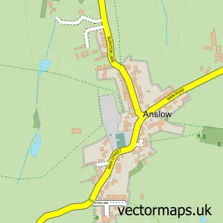
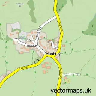
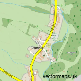
More street maps in Staffordshire
750 metre map area coverage
Boundary, postcode and point of interest information for the 750m x 750m rectangle centred on this sample map.
Boundaries containing map centre
Constituency: Burton and Uttoxeter Co Const
County: Staffordshire County
District: East Staffordshire District (B)
Icb: NHS Staffordshire and Stoke-on-Trent ICB
Parish: Anslow CP
Police Force: staffordshire
Postcode District: DE13
Postcode Sector: DE13 9
Ward: Dove Ward
Nearby boundaries intersecting sample
Constituency: Lichfield Co Const
Parish: Tatenhill CP
Ward: Bagots & Needwood Ward
Postcode coverage
POI category counts
Gas Station: 2
British Restaurant: 1
Coffee Shop: 1
Pet Services: 1
Physical Therapy: 1
Pub: 1
Real Estate Agent: 1
Shopping: 1
Sample points of interest
- New Inn
- Costa Express
- Jet Petrol Station
- Shell Needwood
- Page’s Poultry - Feed and Accessories
- Pathways Physiotherapy
- The New Inn
- Cope & Co. - Estate And Letting Agents Burton on Trent
- Needwood Service Station
Create a larger editable map of Needwood
This sample shows only a 750 metre area. To create a larger map of Needwood, use our map builder to choose your own coverage area, add titles and download editable SVG, PDF and PNG files.
Create a custom map of Needwood