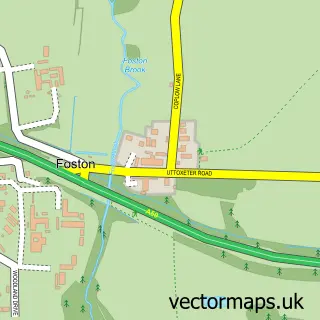
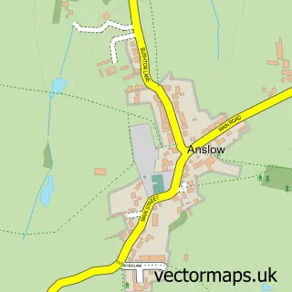
This Scropton street map is a detailed vector street map covering a 750m x 750m area. Select a larger area to create and download your own vector street map of Scropton.
The 750-metre map sample for Scropton covers 98 mapped buildings and approximately 10.9 km of road detail, of which 5 named roads are named. The immediate area includes 2 GP surgeries within 2 miles and 1 MOT station, with 4 within 2 miles. To create a larger or custom map of Scropton, the map builder lets you define your own coverage area and download editable SVG, PDF and PNG files.
Create a larger editable map of Scropton
Choose any area you need and generate a high-quality vector map instantly. Perfect for print, planning, design, business and personal use.

This Scropton street map in Derbyshire is available as downloadable SVG, PDF and PNG map files, or as a printed map for planning, business, display, education, local information and design work. You can also create a larger custom map area using the map selector.
What this Scropton map sample shows
Scropton lies within Foston And Scropton Cp parish, part of Hilton ward in the South Derbyshire District local authority area. The postcode geography for this area includes the DE postcode area, the DE65 postcode district and the DE65 5 postcode sector. Residents fall under the Nhs Derby And Derbyshire Integrated Care Board for NHS services.
Local features near Scropton
Within 2 milesAmenities and services in and around Scropton.
Administrative and postcode information for Scropton
Scropton lies within Foston And Scropton Cp parish, part of Hilton ward in the South Derbyshire District local authority area. The postcode geography for this area includes the DE postcode area, the DE65 postcode district and the DE65 5 postcode sector. Residents fall under the Nhs Derby And Derbyshire Integrated Care Board for NHS services.
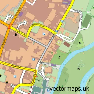
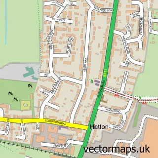
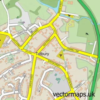
Nearby street map samples around Scropton

More street maps in Derbyshire
750 metre map area coverage
Boundary, postcode and point of interest information for the 750m x 750m rectangle centred on this sample map.
Boundaries containing map centre
Constituency: Derbyshire Dales Co Const
County: Derbyshire County
District: South Derbyshire District
Icb: NHS Derby and Derbyshire ICB
Parish: Foston and Scropton CP
Police Force: derbyshire
Postcode District: DE65
Postcode Sector: DE65 5
Ward: Hilton Ward
Nearby boundaries intersecting sample
No additional intersecting boundaries found.
Postcode coverage
POI category counts
Equestrian Facility: 3
Anglican Church: 1
Flowers And Gifts Shop: 1
Holiday Rental Home: 1
Home Decor: 1
Laboratory Testing: 1
Lodge: 1
Retirement Home: 1
Train Station: 1
Sample points of interest
- St Paul's Parish Church, Scropton (and Foston)
- Holme Farm Equestrian Centre
- Holme Farm Equestrian Centre
- Scropton Horse Centre
- Foresters
- Edgmond Lodges Scropton
- Foresters Lampshades & Decor
- Fryers Garage
- Riversides lodges
- OSJCT Chestnut Court
- Scropton railway station
Create a larger editable map of Scropton
This sample shows only a 750 metre area. To create a larger map of Scropton, use our map builder to choose your own coverage area, add titles and download editable SVG, PDF and PNG files.
Create a custom map of Scropton