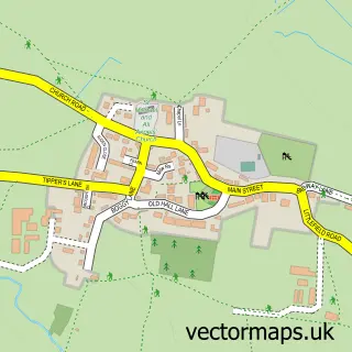
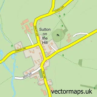
This Foston street map is a detailed vector street map covering a 750m x 750m area. Select a larger area to create and download your own vector street map of Foston.
The 750-metre map sample for Foston covers 71 mapped buildings and approximately 15.2 km of road detail, of which 3 named roads are named. The immediate area includes 3 MOT stations within 2 miles. To create a larger or custom map of Foston, the map builder lets you define your own coverage area and download editable SVG, PDF and PNG files.
Create a larger editable map of Foston
Choose any area you need and generate a high-quality vector map instantly. Perfect for print, planning, design, business and personal use.

This Foston street map in Derbyshire is available as downloadable SVG, PDF and PNG map files, or as a printed map for planning, business, display, education, local information and design work. You can also create a larger custom map area using the map selector.
What this Foston map sample shows
Foston lies within Foston And Scropton Cp parish, part of Hilton ward in the South Derbyshire District local authority area. The postcode geography for this area includes the DE postcode area, the DE65 postcode district and the DE65 5 postcode sector. Residents fall under the Nhs Derby And Derbyshire Integrated Care Board for NHS services.
Local features near Foston
Within 2 milesAmenities and services in and around Foston.
Administrative and postcode information for Foston
Foston lies within Foston And Scropton Cp parish, part of Hilton ward in the South Derbyshire District local authority area. The postcode geography for this area includes the DE postcode area, the DE65 postcode district and the DE65 5 postcode sector. Residents fall under the Nhs Derby And Derbyshire Integrated Care Board for NHS services.
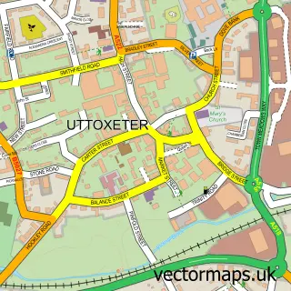
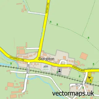
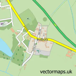
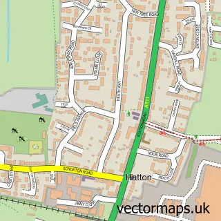
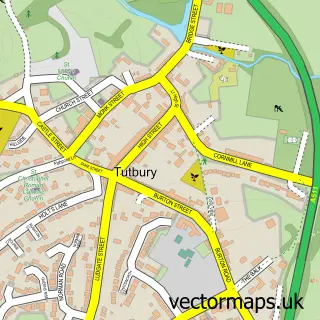
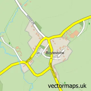
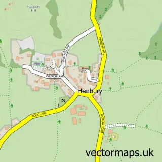
Nearby street map samples around Foston

More street maps in Derbyshire
750 metre map area coverage
Boundary, postcode and point of interest information for the 750m x 750m rectangle centred on this sample map.
Boundaries containing map centre
Constituency: Derbyshire Dales Co Const
County: Derbyshire County
District: South Derbyshire District
Icb: NHS Derby and Derbyshire ICB
Parish: Foston and Scropton CP
Police Force: derbyshire
Postcode District: DE65
Postcode Sector: DE65 5
Ward: Hilton Ward
Nearby boundaries intersecting sample
No additional intersecting boundaries found.
Postcode coverage
POI category counts
Art Gallery: 1
Corporate Entertainment Services: 1
Forestry Service: 1
Horse Boarding: 1
Jail And Prison: 1
Roofing: 1
Travel: 1
Sample points of interest
- The Round House Gallery
- Vintage Flying
- Newlandowner Management Services
- Common House Farm Livery
- HMP Foston Hall
- Actionclad 2001 Ltd
- A50-Foston
Create a larger editable map of Foston
This sample shows only a 750 metre area. To create a larger map of Foston, use our map builder to choose your own coverage area, add titles and download editable SVG, PDF and PNG files.
Create a custom map of Foston