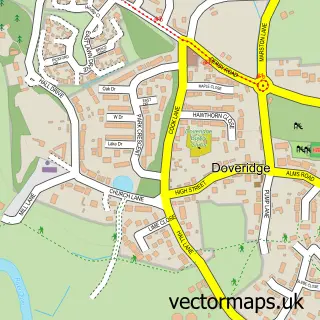
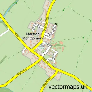
This Uttoxeter street map is a detailed vector street map covering a 750m x 750m area. Select a larger area to create and download your own vector street map of Uttoxeter.
The 750-metre map sample for Uttoxeter covers 309 mapped buildings and approximately 27.4 km of road detail, of which 42 named roads are named. The immediate area includes 1 school, 2 GP surgeries, 17 pubs and 3 MOT stations, with 7 within 2 miles. The wider area around Uttoxeter features 4 tourism points of interest, 37 food and drink venues and 4 hotels. To create a larger or custom map of Uttoxeter, the map builder lets you define your own coverage area and download editable SVG, PDF and PNG files.
Create a larger editable map of Uttoxeter
Choose any area you need and generate a high-quality vector map instantly. Perfect for print, planning, design, business and personal use.

This Uttoxeter street map in Staffordshire is available as downloadable SVG, PDF and PNG map files, or as a printed map for planning, business, display, education, local information and design work. You can also create a larger custom map area using the map selector.
What this Uttoxeter map sample shows
Uttoxeter lies within Uttoxeter Cp parish, part of Town ward in the East Staffordshire District (B) local authority area. The postcode geography for this area includes the ST postcode area, the ST14 postcode district and the ST14 7 postcode sector. Residents fall under the Nhs Staffordshire And Stoke-On-Trent Integrated Care Board for NHS services.
Local features near Uttoxeter
Within 2 milesAmenities and services in and around Uttoxeter.
Administrative and postcode information for Uttoxeter
Uttoxeter lies within Uttoxeter Cp parish, part of Town ward in the East Staffordshire District (B) local authority area. The postcode geography for this area includes the ST postcode area, the ST14 postcode district and the ST14 7 postcode sector. Residents fall under the Nhs Staffordshire And Stoke-On-Trent Integrated Care Board for NHS services.
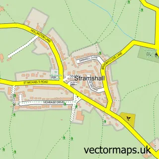
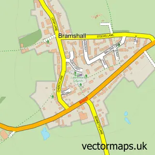
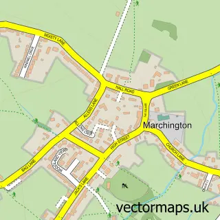
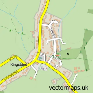
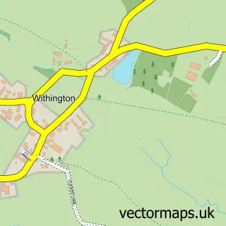
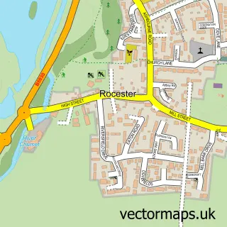
Nearby street map samples around Uttoxeter

More street maps in Staffordshire
750 metre map area coverage
Boundary, postcode and point of interest information for the 750m x 750m rectangle centred on this sample map.
Boundaries containing map centre
Constituency: Burton and Uttoxeter Co Const
County: Staffordshire County
District: East Staffordshire District (B)
Icb: NHS Staffordshire and Stoke-on-Trent ICB
Parish: Uttoxeter CP
Police Force: staffordshire
Postcode District: ST14
Postcode Sector: ST14 8
Ward: Town Ward
Nearby boundaries intersecting sample
Postcode Sector: ST14 7
Ward: Heath Ward
Postcode coverage
POI category counts
Beauty Salon: 18
Pub: 17
Hair Salon: 15
Bar: 9
Restaurant: 9
Coffee Shop: 8
Barber: 6
Clothing Store: 6
Dentist: 6
Fast Food Restaurant: 6
Sample points of interest
- Dove Accountants, Tax & Business Advisors
- HSKSG -Uttoxeter Agricultural Accountants
- Philip Barnes & Co - Uttoxeter Limited
- Rice and Co
- TaxAssist Accountants
- Brookes & Co.
- Brookes & Vernons Communications
- Heaven on Earth
- Isabel Wilson
- The Marjorie Centre
- Uttoxeter St Mary the Virgin
- Barnardo's
Create a larger editable map of Uttoxeter
This sample shows only a 750 metre area. To create a larger map of Uttoxeter, use our map builder to choose your own coverage area, add titles and download editable SVG, PDF and PNG files.
Create a custom map of Uttoxeter