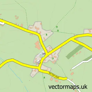
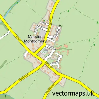
This Stramshall street map is a detailed vector street map covering a 750m x 750m area. Select a larger area to create and download your own vector street map of Stramshall.
The 750-metre map sample for Stramshall covers 186 mapped buildings and approximately 14.6 km of road detail, of which 10 named roads are named. The immediate area includes 2 GP surgeries within 2 miles and 7 MOT stations within 2 miles. The wider area around Stramshall features 2 tourism points of interest. To create a larger or custom map of Stramshall, the map builder lets you define your own coverage area and download editable SVG, PDF and PNG files.
Create a larger editable map of Stramshall
Choose any area you need and generate a high-quality vector map instantly. Perfect for print, planning, design, business and personal use.

This Stramshall street map in Staffordshire is available as downloadable SVG, PDF and PNG map files, or as a printed map for planning, business, display, education, local information and design work. You can also create a larger custom map area using the map selector.
What this Stramshall map sample shows
Stramshall lies within Uttoxeter Rural Cp parish, part of Abbey ward in the East Staffordshire District (B) local authority area. The postcode geography for this area includes the ST postcode area, the ST14 postcode district and the ST14 5 postcode sector. Residents fall under the Nhs Staffordshire And Stoke-On-Trent Integrated Care Board for NHS services.
Local features near Stramshall
Within 2 milesAmenities and services in and around Stramshall.
Administrative and postcode information for Stramshall
The local authority covering Stramshall is East Staffordshire District (B), within the county of Staffordshire. The settlement lies within Abbey ward and Uttoxeter Rural Cp civil parish. The ST14 postcode district and ST14 5 postcode sector serve the immediate area. NHS provision in the area is delivered through University Hospitals Of Derby And Burton Nhs Foundation Trust.
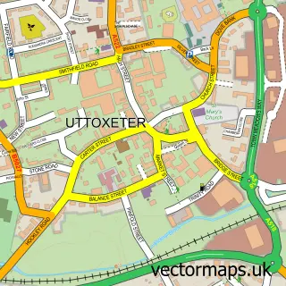
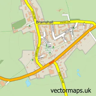
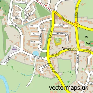
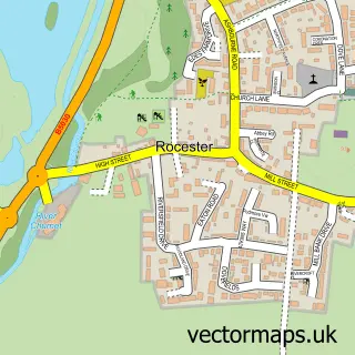
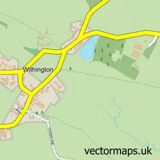
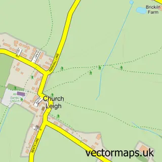
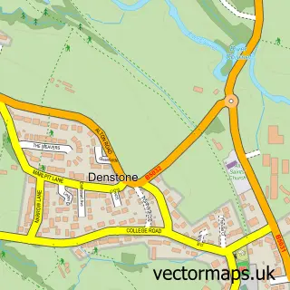
Nearby street map samples around Stramshall

More street maps in Staffordshire
750 metre map area coverage
Boundary, postcode and point of interest information for the 750m x 750m rectangle centred on this sample map.
Boundaries containing map centre
Constituency: Burton and Uttoxeter Co Const
County: Staffordshire County
District: East Staffordshire District (B)
Icb: NHS Staffordshire and Stoke-on-Trent ICB
Parish: Uttoxeter Rural CP
Police Force: staffordshire
Postcode District: ST14
Postcode Sector: ST14 5
Ward: Stramshall & Weaver Ward
Nearby boundaries intersecting sample
No additional intersecting boundaries found.
Postcode coverage
POI category counts
Accountant: 1
Anglican Church: 1
Art School: 1
Auto Customization: 1
Bed And Breakfast: 1
Community Center: 1
Landmark And Historical Building: 1
Lawyer: 1
Park: 1
Scout Hall: 1
Sample points of interest
- Aims Accountants for Business
- Stramshall St.Michael and All Angels
- Amerton Pottery & Paint a Pot Studio
- Woodypeck Ltd.
- Olivetreestramshall
- Stramshall Village Hall
- Stramshall
- Stephen Oldham Solicitors
- Stramshall park
- 1st Stramshall
- Phil Smith Travel
Create a larger editable map of Stramshall
This sample shows only a 750 metre area. To create a larger map of Stramshall, use our map builder to choose your own coverage area, add titles and download editable SVG, PDF and PNG files.
Create a custom map of Stramshall