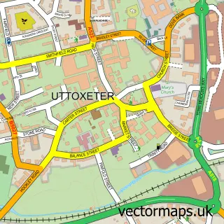
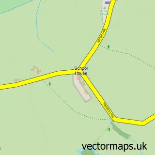
This Doveridge street map is a detailed vector street map covering a 750m x 750m area. Select a larger area to create and download your own vector street map of Doveridge.
The 750-metre map sample for Doveridge covers 375 mapped buildings and approximately 19.6 km of road detail, of which 28 named roads are named. The immediate area includes 2 GP surgeries within 2 miles, 1 pub and 6 MOT stations within 2 miles. The wider area around Doveridge features 2 tourism points of interest and 1 food and drink venue. To create a larger or custom map of Doveridge, the map builder lets you define your own coverage area and download editable SVG, PDF and PNG files.
Create a larger editable map of Doveridge
Choose any area you need and generate a high-quality vector map instantly. Perfect for print, planning, design, business and personal use.

This Doveridge street map in Derbyshire is available as downloadable SVG, PDF and PNG map files, or as a printed map for planning, business, display, education, local information and design work. You can also create a larger custom map area using the map selector.
What this Doveridge map sample shows
Doveridge lies within Doveridge Cp parish, part of Doveridge And Sudbury ward in the Derbyshire Dales District local authority area. The postcode geography for this area includes the DE postcode area, the DE6 postcode district and the DE6 5 postcode sector. Residents fall under the Nhs Derby And Derbyshire Integrated Care Board for NHS services.
Local features near Doveridge
Within 2 milesAmenities and services in and around Doveridge.
Administrative and postcode information for Doveridge
The local authority covering Doveridge is Derbyshire Dales District, within the county of Derbyshire. The settlement lies within Doveridge And Sudbury ward and Doveridge Cp civil parish. The DE6 postcode district and DE6 5 postcode sector serve the immediate area. NHS provision in the area is delivered through University Hospitals Of Derby And Burton Nhs Foundation Trust.
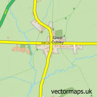
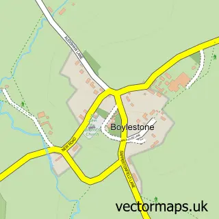
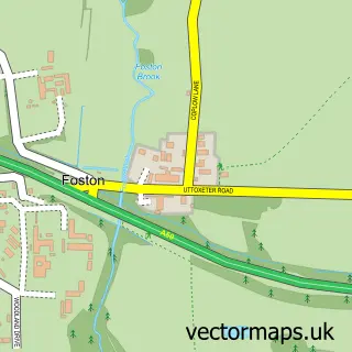
Nearby street map samples around Doveridge

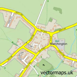
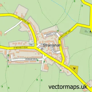
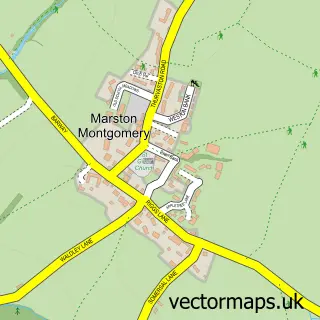
More street maps in Derbyshire
750 metre map area coverage
Boundary, postcode and point of interest information for the 750m x 750m rectangle centred on this sample map.
Boundaries containing map centre
Constituency: Derbyshire Dales Co Const
County: Derbyshire County
District: Derbyshire Dales District
Icb: NHS Derby and Derbyshire ICB
Parish: Doveridge CP
Police Force: derbyshire
Postcode District: DE6
Postcode Sector: DE6 5
Ward: Doveridge & Sudbury Ward
Nearby boundaries intersecting sample
Constituency: Burton and Uttoxeter Co Const
County: Staffordshire County
District: East Staffordshire District (B)
Icb: NHS Staffordshire and Stoke-on-Trent ICB
Parish: Uttoxeter CP
Police Force: staffordshire
Postcode District: ST14
Postcode Sector: ST14 8
Ward: Town Ward
Postcode coverage
POI category counts
Shipping Center: 2
Sports Club And League: 2
Anglican Church: 1
Bus Service: 1
Church Cathedral: 1
Community Center: 1
Construction Services: 1
Convenience Store: 1
Currency Exchange: 1
Disability Services And Support Organization: 1
Sample points of interest
- THE PARISH CHURCH OF ST CUTHBERT, DOVERIDGE
- Dovelin Cars Ltd.
- St Cuthbert's Church
- Doveridge Village Hall
- Buildwise Development
- Doveridge Village Store
- Post Office Travel Money
- Dove House Voyage Care
- Longship Trading Company
- Small Oaks Childcare
- Doveridge Walled Gardens
- Dovefest
Create a larger editable map of Doveridge
This sample shows only a 750 metre area. To create a larger map of Doveridge, use our map builder to choose your own coverage area, add titles and download editable SVG, PDF and PNG files.
Create a custom map of Doveridge