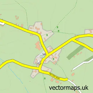
This Rocester street map is a detailed vector street map covering a 750m x 750m area. Select a larger area to create and download your own vector street map of Rocester.
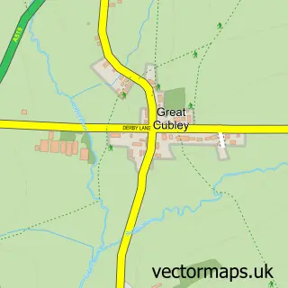
The 750-metre map sample for Rocester covers 306 mapped buildings and approximately 16.9 km of road detail, of which 21 named roads are named. The immediate area includes 1 school, 1 GP surgery, 2 pubs and 1 MOT station. The wider area around Rocester features 2 food and drink venues, 2 hotels and 1 campsite within 2 miles. To create a larger or custom map of Rocester, the map builder lets you define your own coverage area and download editable SVG, PDF and PNG files.
Create a larger editable map of Rocester
Choose any area you need and generate a high-quality vector map instantly. Perfect for print, planning, design, business and personal use.

This Rocester street map in Staffordshire is available as downloadable SVG, PDF and PNG map files, or as a printed map for planning, business, display, education, local information and design work. You can also create a larger custom map area using the map selector.
What this Rocester map sample shows
Rocester lies within Rocester Cp parish, part of Churnet ward in the East Staffordshire District (B) local authority area. The postcode geography for this area includes the ST postcode area, the ST14 postcode district and the ST14 5 postcode sector. Residents fall under the Nhs Staffordshire And Stoke-On-Trent Integrated Care Board for NHS services.
Local features near Rocester
Within 2 milesAmenities and services in and around Rocester.
Administrative and postcode information for Rocester
Rocester lies within Rocester Cp parish, part of Churnet ward in the East Staffordshire District (B) local authority area. The postcode geography for this area includes the ST postcode area, the ST14 postcode district and the ST14 5 postcode sector. Residents fall under the Nhs Staffordshire And Stoke-On-Trent Integrated Care Board for NHS services.
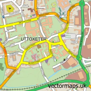
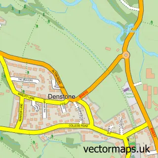
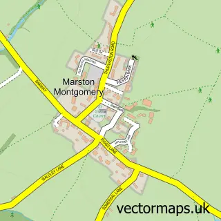
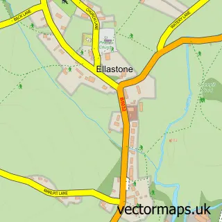
Nearby street map samples around Rocester

More street maps in Staffordshire
750 metre map area coverage
Boundary, postcode and point of interest information for the 750m x 750m rectangle centred on this sample map.
Boundaries containing map centre
Constituency: Burton and Uttoxeter Co Const
County: Staffordshire County
District: East Staffordshire District (B)
Icb: NHS Staffordshire and Stoke-on-Trent ICB
Parish: Rocester CP
Police Force: staffordshire
Postcode District: ST14
Postcode Sector: ST14 5
Ward: Stramshall & Weaver Ward
Nearby boundaries intersecting sample
No additional intersecting boundaries found.
Postcode coverage
POI category counts
Convenience Store: 4
Fish And Chips Restaurant: 2
Hotel: 2
Kitchen And Bath: 2
Professional Services: 2
Pub: 2
Anglican Church: 1
Automotive Repair: 1
Beauty Salon: 1
Building Supply Store: 1
Sample points of interest
- Rocester S.Michael
- Car Sales
- Sarah Lowe Cosmetic Tattooist
- Rosekitchens
- St Michael's Church
- D & S Chimney Sweeps
- Rocester Village Hall
- Mason Building Service
- Premier Rocester Village Stores
- Premier store rocester
- SPAR - Rocester
- SPAR Rocester
Create a larger editable map of Rocester
This sample shows only a 750 metre area. To create a larger map of Rocester, use our map builder to choose your own coverage area, add titles and download editable SVG, PDF and PNG files.
Create a custom map of Rocester