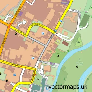
This Rosliston street map is a detailed vector street map covering a 750m x 750m area. Select a larger area to create and download your own vector street map of Rosliston.
The 750-metre map sample for Rosliston covers 168 mapped buildings and approximately 15.6 km of road detail, of which 11 named roads are named. The immediate area includes 1 school and 2 pubs. The wider area around Rosliston features 1 tourism point of interest and 3 food and drink venues. To create a larger or custom map of Rosliston, the map builder lets you define your own coverage area and download editable SVG, PDF and PNG files.
Create a larger editable map of Rosliston
Choose any area you need and generate a high-quality vector map instantly. Perfect for print, planning, design, business and personal use.

This Rosliston street map in Derbyshire is available as downloadable SVG, PDF and PNG map files, or as a printed map for planning, business, display, education, local information and design work. You can also create a larger custom map area using the map selector.
What this Rosliston map sample shows
Rosliston lies within Rosliston Cp parish, part of Linton ward in the South Derbyshire District local authority area. The postcode geography for this area includes the DE postcode area, the DE12 postcode district and the DE12 8 postcode sector. Residents fall under the Nhs Derby And Derbyshire Integrated Care Board for NHS services.
Local features near Rosliston
Within 2 milesAmenities and services in and around Rosliston.
Administrative and postcode information for Rosliston
Rosliston lies within Rosliston Cp parish, part of Linton ward in the South Derbyshire District local authority area. The postcode geography for this area includes the DE postcode area, the DE12 postcode district and the DE12 8 postcode sector. Residents fall under the Nhs Derby And Derbyshire Integrated Care Board for NHS services.
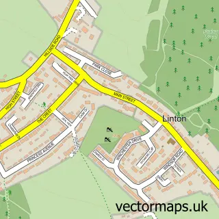
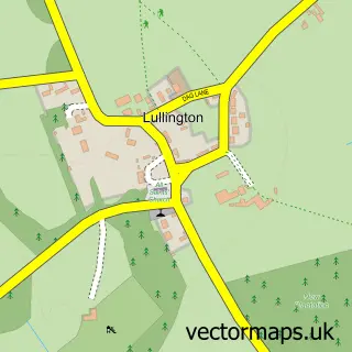
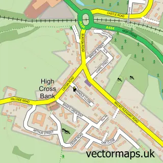
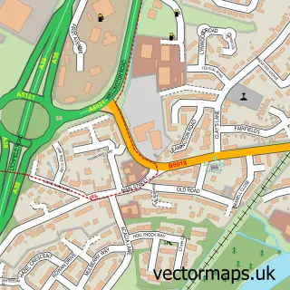
Nearby street map samples around Rosliston


More street maps in Derbyshire
750 metre map area coverage
Boundary, postcode and point of interest information for the 750m x 750m rectangle centred on this sample map.
Boundaries containing map centre
Constituency: South Derbyshire Co Const
County: Derbyshire County
District: South Derbyshire District
Icb: NHS Derby and Derbyshire ICB
Parish: Rosliston CP
Police Force: derbyshire
Postcode District: DE12
Postcode Sector: DE12 8
Ward: Linton Ward
Nearby boundaries intersecting sample
Parish: Walton upon Trent CP
Ward: Seales Ward
Postcode coverage
POI category counts
Fruits And Vegetables: 3
Pub: 2
Anglican Church: 1
Atms: 1
Cafe: 1
Chimney Sweep: 1
Church Cathedral: 1
Community Center: 1
Contractor: 1
Education: 1
Sample points of interest
- St. Mary's, Rosliston
- Tamworth Co-op - Roslington
- The Hub Café
- Mr Sweeps
- St Mary's Church
- Rosliston & Cauldwell Village Hall
- Hodgett Demolition and Transport
- Environmental Education Project
- UK Risk Ltd
- Post Office-Rosliston
- Rosliston Post Office
- The Co-operative Rosliston
Create a larger editable map of Rosliston
This sample shows only a 750 metre area. To create a larger map of Rosliston, use our map builder to choose your own coverage area, add titles and download editable SVG, PDF and PNG files.
Create a custom map of Rosliston