This Coton in the Elms street map is a detailed vector street map covering a 750m x 750m area. Select a larger area to create and download your own vector street map of Coton in the Elms.
The 750-metre map sample for Coton in the Elms covers 237 mapped buildings and approximately 15.3 km of road detail, of which 13 named roads are named. The immediate area includes 1 school, 1 pub and 1 MOT station within 2 miles. The wider area around Coton in the Elms features 1 food and drink venue. To create a larger or custom map of Coton in the Elms, the map builder lets you define your own coverage area and download editable SVG, PDF and PNG files.
Create a larger editable map of Coton in the Elms
Choose any area you need and generate a high-quality vector map instantly. Perfect for print, planning, design, business and personal use.

This Coton in the Elms street map in Derbyshire is available as downloadable SVG, PDF and PNG map files, or as a printed map for planning, business, display, education, local information and design work. You can also create a larger custom map area using the map selector.
What this Coton in the Elms map sample shows
Coton in the Elms lies within Coton In The Elms Cp parish, part of Seales ward in the South Derbyshire District local authority area. The postcode geography for this area includes the DE postcode area, the DE12 postcode district and the DE12 8 postcode sector. Residents fall under the Nhs Derby And Derbyshire Integrated Care Board for NHS services.
Local features near Coton in the Elms
Within 2 milesAmenities and services in and around Coton in the Elms.
Administrative and postcode information for Coton in the Elms
The local authority covering Coton in the Elms is South Derbyshire District, within the county of Derbyshire. The settlement lies within Seales ward and Coton In The Elms Cp civil parish. The DE12 postcode district and DE12 8 postcode sector serve the immediate area. NHS provision in the area is delivered through University Hospitals Of Derby And Burton Nhs Foundation Trust.
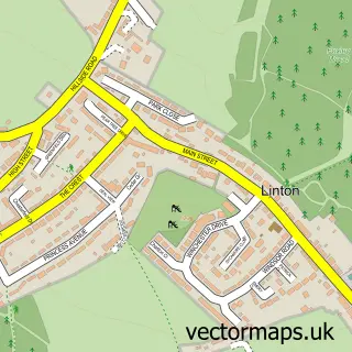
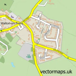
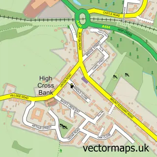
Nearby street map samples around Coton in the Elms
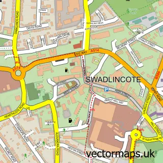

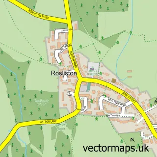
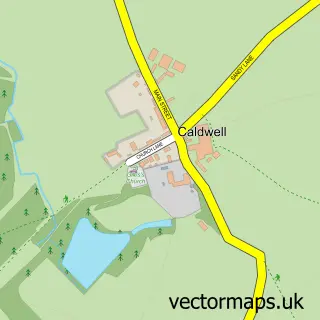
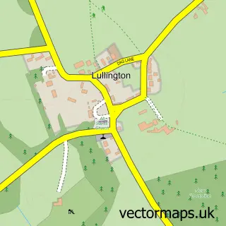


More street maps in Derbyshire
750 metre map area coverage
Boundary, postcode and point of interest information for the 750m x 750m rectangle centred on this sample map.
Boundaries containing map centre
Constituency: South Derbyshire Co Const
County: Derbyshire County
District: South Derbyshire District
Icb: NHS Derby and Derbyshire ICB
Parish: Coton in the Elms CP
Police Force: derbyshire
Postcode District: DE12
Postcode Sector: DE12 8
Ward: Seales Ward
Nearby boundaries intersecting sample
No additional intersecting boundaries found.
Postcode coverage
POI category counts
Bed And Breakfast: 3
Elementary School: 2
Town Car Service: 2
Anglican Church: 1
Beverage Store: 1
Building Contractor: 1
Church Cathedral: 1
Gastropub: 1
Health And Medical: 1
Limo Services: 1
Sample points of interest
- St. Mary's, Coton
- Fern Cottage Bed & Breakfast
- Fern Cottage Bed & Breakfast
- Manor Farm
- Staffordshire Distillery
- Cyteq Ltd. Damp Proofing & Timber Treatment
- St Mary's Church
- Coton in the Elms CofE Primary School
- Coton-in-the-Elms Church of England Primary School
- The Bubble Inn
- Coton Physics Services
- A and C Vintage Wedding Cars
Create a larger editable map of Coton in the Elms
This sample shows only a 750 metre area. To create a larger map of Coton in the Elms, use our map builder to choose your own coverage area, add titles and download editable SVG, PDF and PNG files.
Create a custom map of Coton in the Elms