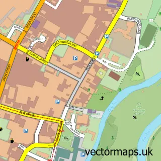
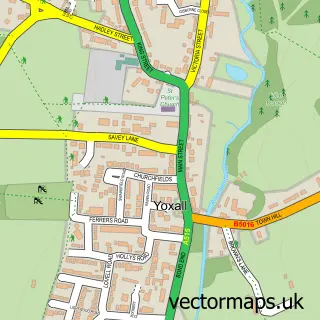
This Alrewas street map is a detailed vector street map covering a 750m x 750m area. Select a larger area to create and download your own vector street map of Alrewas.
The 750-metre map sample for Alrewas covers 581 mapped buildings and approximately 29.3 km of road detail, of which 37 named roads are named. The immediate area includes 1 school, 1 GP surgery, 4 pubs and 2 MOT stations within 2 miles. The wider area around Alrewas features 6 food and drink venues. To create a larger or custom map of Alrewas, the map builder lets you define your own coverage area and download editable SVG, PDF and PNG files.
Create a larger editable map of Alrewas
Choose any area you need and generate a high-quality vector map instantly. Perfect for print, planning, design, business and personal use.

This Alrewas street map in Staffordshire is available as downloadable SVG, PDF and PNG map files, or as a printed map for planning, business, display, education, local information and design work. You can also create a larger custom map area using the map selector.
What this Alrewas map sample shows
Alrewas lies within Alrewas Cp parish, part of Alrewas & Fradley ward in the Lichfield District local authority area. The postcode geography for this area includes the DE postcode area, the DE13 postcode district and the DE13 7 postcode sector. Residents fall under the Nhs Staffordshire And Stoke-On-Trent Integrated Care Board for NHS services.
Local features near Alrewas
Within 2 milesAmenities and services in and around Alrewas.
Administrative and postcode information for Alrewas
The local authority covering Alrewas is Lichfield District, within the county of Staffordshire. The settlement lies within Alrewas & Fradley ward and Alrewas Cp civil parish. The DE13 postcode district and DE13 7 postcode sector serve the immediate area. NHS provision in the area is delivered through University Hospitals Of Derby And Burton Nhs Foundation Trust.
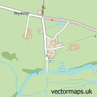
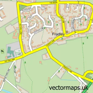
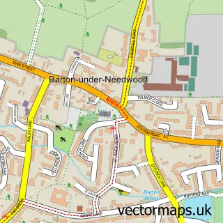
Nearby street map samples around Alrewas


More street maps in Staffordshire
750 metre map area coverage
Boundary, postcode and point of interest information for the 750m x 750m rectangle centred on this sample map.
Boundaries containing map centre
Constituency: Lichfield Co Const
County: Staffordshire County
District: Lichfield District
Icb: NHS Staffordshire and Stoke-on-Trent ICB
Parish: Alrewas CP
Police Force: staffordshire
Postcode District: DE13
Postcode Sector: DE13 7
Ward: Alrewas & Fradley Ward
Nearby boundaries intersecting sample
Parish: Fradley CP
Postcode coverage
POI category counts
Pub: 4
Beauty Salon: 3
Butcher Shop: 2
Church Cathedral: 2
Grocery Store: 2
Preschool: 2
Shipping Center: 2
Accountant: 1
Anglican Church: 1
Architectural Designer: 1
Sample points of interest
- Richard Newton Accountant
- Alrewas All Saints
- Alrewas Architecture Ltd
- The Big Art People
- The Wool Shed
- Central England Co-Op - Alrewas (ERF)
- Beauty & Aesthetics by Natalie Fielding
- Class Boutique
- Tudor House Hair & Beauty
- Jo Raybould Interiors
- Fargo Associates
- Coates Traditional Butchers
Create a larger editable map of Alrewas
This sample shows only a 750 metre area. To create a larger map of Alrewas, use our map builder to choose your own coverage area, add titles and download editable SVG, PDF and PNG files.
Create a custom map of Alrewas