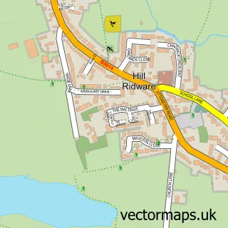
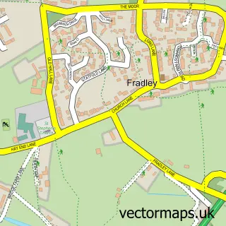
This King's Bromley street map is a detailed vector street map covering a 750m x 750m area. Select a larger area to create and download your own vector street map of King's Bromley.
The 750-metre map sample for King's Bromley covers 299 mapped buildings and approximately 17.8 km of road detail, of which 21 named roads are named. The immediate area includes 1 school, 1 GP surgery within 2 miles, 1 pub and 1 MOT station within 2 miles. The wider area around King's Bromley features 2 food and drink venues. To create a larger or custom map of King's Bromley, the map builder lets you define your own coverage area and download editable SVG, PDF and PNG files.
Create a larger editable map of King's Bromley
Choose any area you need and generate a high-quality vector map instantly. Perfect for print, planning, design, business and personal use.

This King's Bromley street map in Staffordshire is available as downloadable SVG, PDF and PNG map files, or as a printed map for planning, business, display, education, local information and design work. You can also create a larger custom map area using the map selector.
What this King's Bromley map sample shows
King's Bromley lies within King's Bromley Cp parish, part of Armitage With Handsacre ward in the Lichfield District local authority area. The postcode geography for this area includes the DE postcode area, the DE13 postcode district and the DE13 7 postcode sector. Residents fall under the Nhs Staffordshire And Stoke-On-Trent Integrated Care Board for NHS services.
Local features near King's Bromley
Within 2 milesAmenities and services in and around King's Bromley.
Administrative and postcode information for King's Bromley
King's Bromley lies within King's Bromley Cp parish, part of Armitage With Handsacre ward in the Lichfield District local authority area. The postcode geography for this area includes the DE postcode area, the DE13 postcode district and the DE13 7 postcode sector. Residents fall under the Nhs Staffordshire And Stoke-On-Trent Integrated Care Board for NHS services.
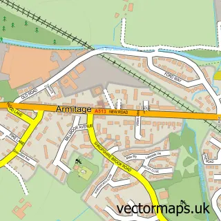
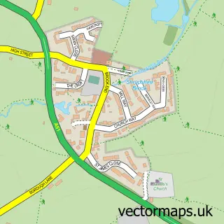
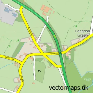
Nearby street map samples around King's Bromley

More street maps in Staffordshire
750 metre map area coverage
Boundary, postcode and point of interest information for the 750m x 750m rectangle centred on this sample map.
Boundaries containing map centre
Constituency: Lichfield Co Const
County: Staffordshire County
District: Lichfield District
Icb: NHS Staffordshire and Stoke-on-Trent ICB
Parish: King's Bromley CP
Police Force: staffordshire
Postcode District: DE13
Postcode Sector: DE13 7
Ward: Armitage with Handsacre Ward
Nearby boundaries intersecting sample
No additional intersecting boundaries found.
Postcode coverage
POI category counts
Building Supply Store: 2
Elementary School: 2
Professional Services: 2
Arts And Entertainment: 1
Beverage Supplier: 1
Bridal Shop: 1
Business Consulting: 1
Church Cathedral: 1
Coffee Shop: 1
Contractor: 1
Sample points of interest
- S J Medicom
- Quartz Brewing
- Just Tickety Boo Events
- Hayley Jensen Interiors
- Mark Waldron Interiors
- Locums
- All Saints Kings Bromley
- Costa Express
- PH&C Easter Builders
- Co-op
- Richard Crosse C of E County Primary School
- Richard Crosse CE Primary School
Create a larger editable map of King's Bromley
This sample shows only a 750 metre area. To create a larger map of King's Bromley, use our map builder to choose your own coverage area, add titles and download editable SVG, PDF and PNG files.
Create a custom map of King's Bromley