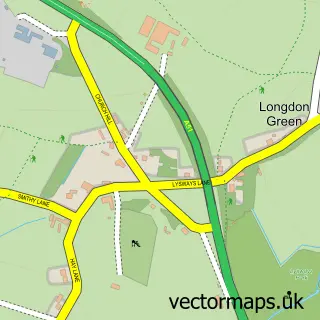
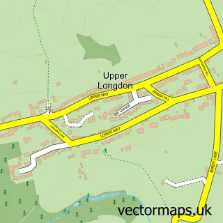
This Longdon street map is a detailed vector street map covering a 750m x 750m area. Select a larger area to create and download your own vector street map of Longdon.
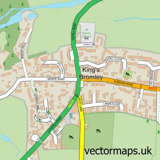
The 750-metre map sample for Longdon covers 125 mapped buildings and approximately 15.6 km of road detail, of which 13 named roads are named. The immediate area includes 1 school, 2 pubs and 1 MOT station within 2 miles. The wider area around Longdon features 1 tourism point of interest and 2 food and drink venues. To create a larger or custom map of Longdon, the map builder lets you define your own coverage area and download editable SVG, PDF and PNG files.
Create a larger editable map of Longdon
Choose any area you need and generate a high-quality vector map instantly. Perfect for print, planning, design, business and personal use.

This Longdon street map in Staffordshire is available as downloadable SVG, PDF and PNG map files, or as a printed map for planning, business, display, education, local information and design work. You can also create a larger custom map area using the map selector.
What this Longdon map sample shows
Longdon lies within Longdon Cp parish, part of Longdon ward in the Lichfield District local authority area. The postcode geography for this area includes the WS postcode area, the WS15 postcode district and the WS15 4 postcode sector. Residents fall under the Nhs Staffordshire And Stoke-On-Trent Integrated Care Board for NHS services.
Local features near Longdon
Within 2 milesAmenities and services in and around Longdon.
Administrative and postcode information for Longdon
The local authority covering Longdon is Lichfield District, within the county of Staffordshire. The settlement lies within Longdon ward and Longdon Cp civil parish. The WS15 postcode district and WS15 4 postcode sector serve the immediate area. NHS provision in the area is delivered through University Hospitals Of Derby And Burton Nhs Foundation Trust.
Nearby street map samples around Longdon
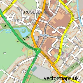

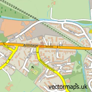
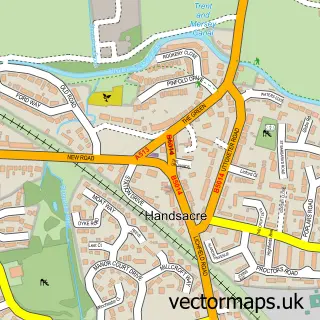
More street maps in Staffordshire
750 metre map area coverage
Boundary, postcode and point of interest information for the 750m x 750m rectangle centred on this sample map.
Boundaries containing map centre
Constituency: Lichfield Co Const
County: Staffordshire County
District: Lichfield District
Icb: NHS Black Country ICB
Parish: Longdon CP
Police Force: staffordshire
Postcode District: WS15
Postcode Sector: WS15 4
Ward: Longdon Ward
Nearby boundaries intersecting sample
No additional intersecting boundaries found.
Postcode coverage
POI category counts
Charity Organization: 2
Elementary School: 2
Pub: 2
Anglican Church: 1
Business Management Services: 1
Church Cathedral: 1
Clothing Store: 1
Construction Services: 1
Gents Tailor: 1
Hunting And Fishing Supplies: 1
Sample points of interest
- Longdon, St. James the Great
- Ian Strachan Communications Ltd.
- Age UK
- Barnardo's
- St James The Great Church
- Marina Marina Design
- F1rst Class Conversions Ltd
- St James CE Primary Academy
- St James Church of England Primary Academy
- Marina Design Studio
- Hawcroft Grange farm
- Post Office-Longdon
Create a larger editable map of Longdon
This sample shows only a 750 metre area. To create a larger map of Longdon, use our map builder to choose your own coverage area, add titles and download editable SVG, PDF and PNG files.
Create a custom map of Longdon