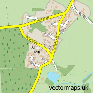
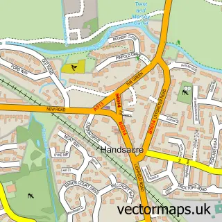
This Rugeley street map is a detailed vector street map covering a 750m x 750m area. Select a larger area to create and download your own vector street map of Rugeley.
The 750-metre map sample for Rugeley covers 342 mapped buildings and approximately 30.2 km of road detail, of which 46 named roads are named. The immediate area includes 1 school, 1 GP surgery, with 4 within 2 miles, 14 pubs and 4 MOT stations, with 13 within 2 miles. The wider area around Rugeley features 1 tourism point of interest, 31 food and drink venues and 1 hotel. To create a larger or custom map of Rugeley, the map builder lets you define your own coverage area and download editable SVG, PDF and PNG files.
Create a larger editable map of Rugeley
Choose any area you need and generate a high-quality vector map instantly. Perfect for print, planning, design, business and personal use.

This Rugeley street map in Staffordshire is available as downloadable SVG, PDF and PNG map files, or as a printed map for planning, business, display, education, local information and design work. You can also create a larger custom map area using the map selector.
What this Rugeley map sample shows
Rugeley lies within Rugeley Cp parish, part of Western Springs ward in the Cannock Chase District local authority area. The postcode geography for this area includes the WS postcode area, the WS15 postcode district and the WS15 2 postcode sector. Residents fall under the Nhs Staffordshire And Stoke-On-Trent Integrated Care Board for NHS services.
Local features near Rugeley
Within 2 milesAmenities and services in and around Rugeley.
Administrative and postcode information for Rugeley
The local authority covering Rugeley is Cannock Chase District, within the county of Staffordshire. The settlement lies within Western Springs ward and Rugeley Cp civil parish. The WS15 postcode district and WS15 2 postcode sector serve the immediate area. NHS provision in the area is delivered through University Hospitals Of North Midlands Nhs Trust.
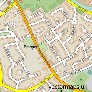
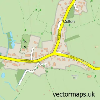
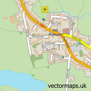
Nearby street map samples around Rugeley

More street maps in Staffordshire
750 metre map area coverage
Boundary, postcode and point of interest information for the 750m x 750m rectangle centred on this sample map.
Boundaries containing map centre
Constituency: Cannock Chase Co Const
County: Staffordshire County
District: Cannock Chase District
Icb: NHS Staffordshire and Stoke-on-Trent ICB
Parish: Rugeley CP
Police Force: staffordshire
Postcode District: WS15
Postcode Sector: WS15 2
Ward: Western Springs Ward
Nearby boundaries intersecting sample
Parish: Brereton and Ravenhill CP
Postcode Sector: WS15 1
Ward: Brereton & Ravenhill Ward, Etching Hill & the Heath Ward
Postcode coverage
POI category counts
Beauty Salon: 16
Pub: 14
Hair Salon: 11
Tattoo And Piercing: 11
Cafe: 10
Bakery: 8
Flowers And Gifts Shop: 8
Professional Services: 7
Banks: 6
Building Supply Store: 6
Sample points of interest
- Premier Accounting
- Wynniatt-Husey
- Style Cop Down Hill Trails - Cannock Chase
- Connexions
- W E a
- St John Ambulance Rugeley Division
- Black Fish Collectables
- Salvation Army
- St Giles Hospice Shops
- Dyson Revivers
- Low Prices Bargain Store
- Grand Rosettes
Create a larger editable map of Rugeley
This sample shows only a 750 metre area. To create a larger map of Rugeley, use our map builder to choose your own coverage area, add titles and download editable SVG, PDF and PNG files.
Create a custom map of Rugeley