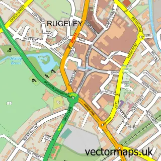
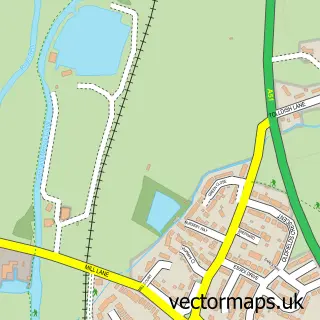
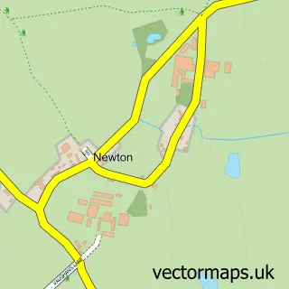
This Bishton street map is a detailed vector street map covering a 750m x 750m area. Select a larger area to create and download your own vector street map of Bishton.
The 750-metre map sample for Bishton covers 42 mapped buildings and approximately 10.9 km of road detail, of which 3 named roads are named. The immediate area includes 3 GP surgeries within 2 miles and 5 MOT stations within 2 miles. The wider area around Bishton features 1 food and drink venue and 1 campsite within 2 miles. To create a larger or custom map of Bishton, the map builder lets you define your own coverage area and download editable SVG, PDF and PNG files.
Create a larger editable map of Bishton
Choose any area you need and generate a high-quality vector map instantly. Perfect for print, planning, design, business and personal use.

This Bishton street map in Staffordshire is available as downloadable SVG, PDF and PNG map files, or as a printed map for planning, business, display, education, local information and design work. You can also create a larger custom map area using the map selector.
What this Bishton map sample shows
Bishton lies within Colwich Cp parish, part of Haywood & Hixon ward in the Stafford District (B) local authority area. The postcode geography for this area includes the ST postcode area, the ST17 postcode district and the ST17 0 postcode sector. Residents fall under the Nhs Staffordshire And Stoke-On-Trent Integrated Care Board for NHS services.
Local features near Bishton
Within 2 milesAmenities and services in and around Bishton.
Administrative and postcode information for Bishton
The local authority covering Bishton is Stafford District (B), within the county of Staffordshire. The settlement lies within Haywood & Hixon ward and Colwich Cp civil parish. The ST17 postcode district and ST17 0 postcode sector serve the immediate area. NHS provision in the area is delivered through University Hospitals Of North Midlands Nhs Trust.
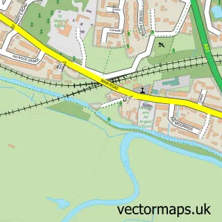
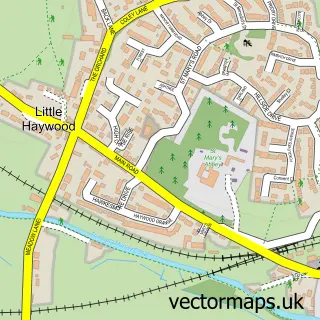
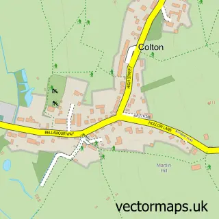
Nearby street map samples around Bishton

More street maps in Staffordshire
750 metre map area coverage
Boundary, postcode and point of interest information for the 750m x 750m rectangle centred on this sample map.
Boundaries containing map centre
Constituency: Stone, Great Wyrley and Penkridge Co Const
County: Staffordshire County
District: Stafford District (B)
Icb: NHS Staffordshire and Stoke-on-Trent ICB
Parish: Colwich CP
Police Force: staffordshire
Postcode District: ST17
Postcode Sector: ST17 0
Ward: Haywood & Hixon Ward
Nearby boundaries intersecting sample
Postcode District: ST18
Postcode Sector: ST18 0
Postcode coverage
POI category counts
Gas Station: 3
Tea Room: 3
Elementary School: 2
Art Gallery: 1
Art School: 1
Auction House: 1
Automotive Services And Repair: 1
Clothing Store: 1
Coffee Shop: 1
Community Services Non Profits: 1
Sample points of interest
- Verity art studio
- The Hiding Place Art
- Hansons Auctioneers & Valuers
- InstaVolt Charging Station
- One Seven Three
- Costa Express
- Stafford Archers
- Londis COLWICH SERVICE STATION
- Mercia Spirit Lab
- Saint Bedes Nursery
- A H & H C Stafford Northcote
- St. Bedes School Ltd.
Create a larger editable map of Bishton
This sample shows only a 750 metre area. To create a larger map of Bishton, use our map builder to choose your own coverage area, add titles and download editable SVG, PDF and PNG files.
Create a custom map of Bishton