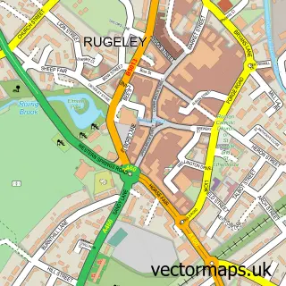
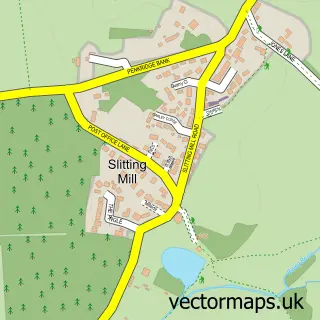
This Colton street map is a detailed vector street map covering a 750m x 750m area. Select a larger area to create and download your own vector street map of Colton.
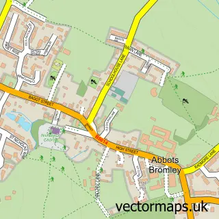
The 750-metre map sample for Colton covers 133 mapped buildings and approximately 8.0 km of road detail, of which 6 named roads are named. The immediate area includes 3 GP surgeries within 2 miles, 2 pubs and 10 MOT stations within 2 miles. The wider area around Colton features 2 food and drink venues. To create a larger or custom map of Colton, the map builder lets you define your own coverage area and download editable SVG, PDF and PNG files.
Create a larger editable map of Colton
Choose any area you need and generate a high-quality vector map instantly. Perfect for print, planning, design, business and personal use.

This Colton street map in Staffordshire is available as downloadable SVG, PDF and PNG map files, or as a printed map for planning, business, display, education, local information and design work. You can also create a larger custom map area using the map selector.
What this Colton map sample shows
Colton lies within Colton Cp parish, part of Colton & The Ridwares ward in the Lichfield District local authority area. The postcode geography for this area includes the WS postcode area, the WS15 postcode district and the WS15 3 postcode sector. Residents fall under the Nhs Staffordshire And Stoke-On-Trent Integrated Care Board for NHS services.
Local features near Colton
Within 2 milesAmenities and services in and around Colton.
Administrative and postcode information for Colton
The local authority covering Colton is Lichfield District, within the county of Staffordshire. The settlement lies within Colton & The Ridwares ward and Colton Cp civil parish. The WS15 postcode district and WS15 3 postcode sector serve the immediate area. NHS provision in the area is delivered through University Hospitals Of Derby And Burton Nhs Foundation Trust.
Nearby street map samples around Colton

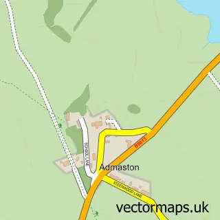
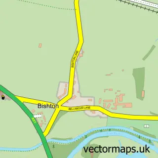
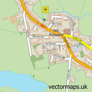
More street maps in Staffordshire
750 metre map area coverage
Boundary, postcode and point of interest information for the 750m x 750m rectangle centred on this sample map.
Boundaries containing map centre
Constituency: Lichfield Co Const
County: Staffordshire County
District: Lichfield District
Icb: NHS Staffordshire and Stoke-on-Trent ICB
Parish: Colton CP
Police Force: staffordshire
Postcode District: WS15
Postcode Sector: WS15 3
Ward: Colton & the Ridwares Ward
Nearby boundaries intersecting sample
No additional intersecting boundaries found.
Postcode coverage
POI category counts
Pub: 2
Accountant: 1
Art Gallery: 1
Bed And Breakfast: 1
Community Center: 1
Freight And Cargo Service: 1
Post Office: 1
Religious Organization: 1
Travel Services: 1
Sample points of interest
- CH Accounting Solutions
- Mutleys Dog Treats
- Colton House
- Colton Village Hall
- National Vehicle Deliveries
- Colton Post Office
- Greyhound Inn
- The Greyhound Inn
- Sanctuary at Colton House
- Colton Nr Rugeley
Create a larger editable map of Colton
This sample shows only a 750 metre area. To create a larger map of Colton, use our map builder to choose your own coverage area, add titles and download editable SVG, PDF and PNG files.
Create a custom map of Colton