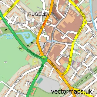
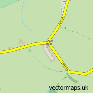
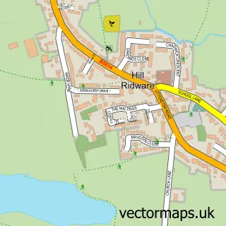
This Abbots Bromley street map is a detailed vector street map covering a 750m x 750m area. Select a larger area to create and download your own vector street map of Abbots Bromley.
The 750-metre map sample for Abbots Bromley covers 297 mapped buildings and approximately 20.5 km of road detail, of which 25 named roads are named. The immediate area includes 1 school, 1 GP surgery and 5 pubs. The wider area around Abbots Bromley features 7 food and drink venues. To create a larger or custom map of Abbots Bromley, the map builder lets you define your own coverage area and download editable SVG, PDF and PNG files.
Create a larger editable map of Abbots Bromley
Choose any area you need and generate a high-quality vector map instantly. Perfect for print, planning, design, business and personal use.

This Abbots Bromley street map in Staffordshire is available as downloadable SVG, PDF and PNG map files, or as a printed map for planning, business, display, education, local information and design work. You can also create a larger custom map area using the map selector.
What this Abbots Bromley map sample shows
Abbots Bromley lies within Abbots Bromley Cp parish, part of Bagots ward in the East Staffordshire District (B) local authority area. The postcode geography for this area includes the WS postcode area, the WS15 postcode district and the WS15 3 postcode sector. Residents fall under the Nhs Staffordshire And Stoke-On-Trent Integrated Care Board for NHS services.
Local features near Abbots Bromley
Within 2 milesAmenities and services in and around Abbots Bromley.
Administrative and postcode information for Abbots Bromley
Abbots Bromley lies within Abbots Bromley Cp parish, part of Bagots ward in the East Staffordshire District (B) local authority area. The postcode geography for this area includes the WS postcode area, the WS15 postcode district and the WS15 3 postcode sector. Residents fall under the Nhs Staffordshire And Stoke-On-Trent Integrated Care Board for NHS services.
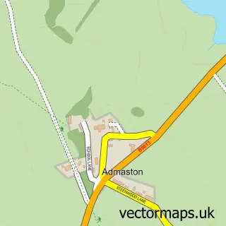
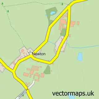
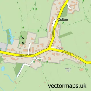
Nearby street map samples around Abbots Bromley

More street maps in Staffordshire
750 metre map area coverage
Boundary, postcode and point of interest information for the 750m x 750m rectangle centred on this sample map.
Boundaries containing map centre
Constituency: Lichfield Co Const
County: Staffordshire County
District: East Staffordshire District (B)
Icb: NHS Staffordshire and Stoke-on-Trent ICB
Parish: Abbots Bromley CP
Police Force: staffordshire
Postcode District: WS15
Postcode Sector: WS15 3
Ward: Bagots & Needwood Ward
Nearby boundaries intersecting sample
No additional intersecting boundaries found.
Postcode coverage
POI category counts
Pub: 5
Elementary School: 3
Cafe: 2
Church Cathedral: 2
Financial Service: 2
Amateur Sports Team: 1
Anglican Church: 1
Antique Store: 1
Arts And Entertainment: 1
Bar: 1
Sample points of interest
- Abbots Bromley Junior Football Club
- Abbots Bromley S.Nicholas
- Lofthouse Antiques
- Sheila Godfrey Pet Portraits
- Bagot Arms
- Antlers Coffee House
- Ruchi Indian Restaurant
- Smart Car Automotive
- St Leonards Church Blithfield
- St Nicholas Church
- Abbots Bromley Village Hall
- The Cash Stores - Top Shop
Create a larger editable map of Abbots Bromley
This sample shows only a 750 metre area. To create a larger map of Abbots Bromley, use our map builder to choose your own coverage area, add titles and download editable SVG, PDF and PNG files.
Create a custom map of Abbots Bromley