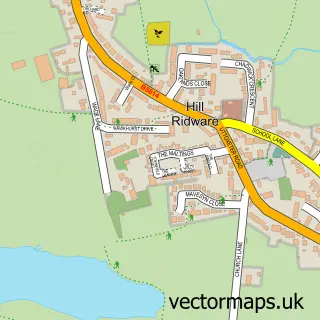
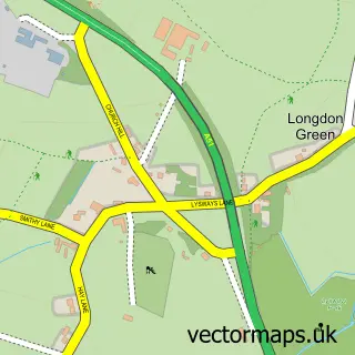
This Hamstall Ridware street map is a detailed vector street map covering a 750m x 750m area. Select a larger area to create and download your own vector street map of Hamstall Ridware.
The 750-metre map sample for Hamstall Ridware covers 72 mapped buildings and approximately 7.9 km of road detail, of which 3 named roads are named. The immediate area includes 1 pub. The wider area around Hamstall Ridware features 2 food and drink venues. To create a larger or custom map of Hamstall Ridware, the map builder lets you define your own coverage area and download editable SVG, PDF and PNG files.
Create a larger editable map of Hamstall Ridware
Choose any area you need and generate a high-quality vector map instantly. Perfect for print, planning, design, business and personal use.

This Hamstall Ridware street map in Staffordshire is available as downloadable SVG, PDF and PNG map files, or as a printed map for planning, business, display, education, local information and design work. You can also create a larger custom map area using the map selector.
What this Hamstall Ridware map sample shows
Hamstall Ridware lies within Hamstall Ridware Cp parish, part of Colton & The Ridwares ward in the Lichfield District local authority area. The postcode geography for this area includes the WS postcode area, the WS15 postcode district and the WS15 3 postcode sector. Residents fall under the Nhs Staffordshire And Stoke-On-Trent Integrated Care Board for NHS services.
Local features near Hamstall Ridware
Within 2 milesAmenities and services in and around Hamstall Ridware.
Administrative and postcode information for Hamstall Ridware
The local authority covering Hamstall Ridware is Lichfield District, within the county of Staffordshire. The settlement lies within Colton & The Ridwares ward and Hamstall Ridware Cp civil parish. The WS15 postcode district and WS15 3 postcode sector serve the immediate area. NHS provision in the area is delivered through University Hospitals Of Derby And Burton Nhs Foundation Trust.
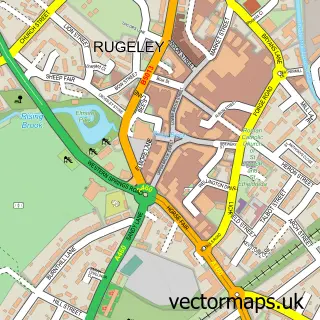
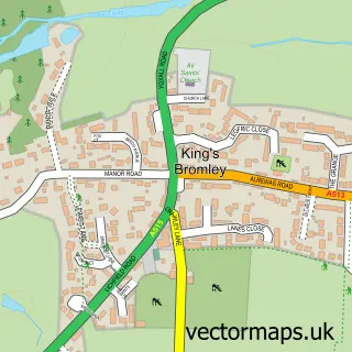
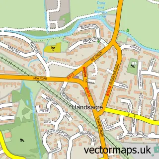
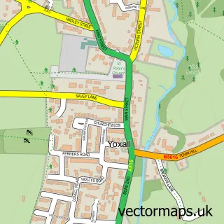
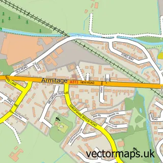
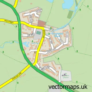
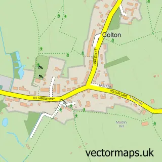
Nearby street map samples around Hamstall Ridware

More street maps in Staffordshire
750 metre map area coverage
Boundary, postcode and point of interest information for the 750m x 750m rectangle centred on this sample map.
Boundaries containing map centre
Constituency: Lichfield Co Const
County: Staffordshire County
District: Lichfield District
Icb: NHS Staffordshire and Stoke-on-Trent ICB
Parish: Hamstall Ridware CP
Police Force: staffordshire
Postcode District: WS15
Postcode Sector: WS15 3
Ward: Colton & the Ridwares Ward
Nearby boundaries intersecting sample
No additional intersecting boundaries found.
Postcode coverage
POI category counts
Anglican Church: 1
Brewery: 1
Building Supply Store: 1
Church Cathedral: 1
Contractor: 1
Farm: 1
Gym: 1
Hunting And Fishing Supplies: 1
Hvac Services: 1
Psychologist: 1
Sample points of interest
- Hamstall Ridware S.Michael and All Angels
- Blythe Brewery
- Keith Latham Home Improvements
- Church of St Michael and All Angels
- Keith G Latham Double Glazing & Building
- Barlow A E
- Hamstall Fishery
- Hamstall Fishery
- TUS Midlands
- Octavius Ross Associates Psychological Services
- The Shoulder of Mutton Inn
- Olive Green
Create a larger editable map of Hamstall Ridware
This sample shows only a 750 metre area. To create a larger map of Hamstall Ridware, use our map builder to choose your own coverage area, add titles and download editable SVG, PDF and PNG files.
Create a custom map of Hamstall Ridware