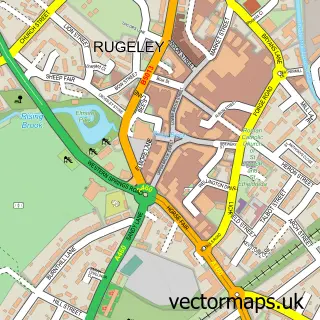
This Armitage street map is a detailed vector street map covering a 750m x 750m area. Select a larger area to create and download your own vector street map of Armitage.
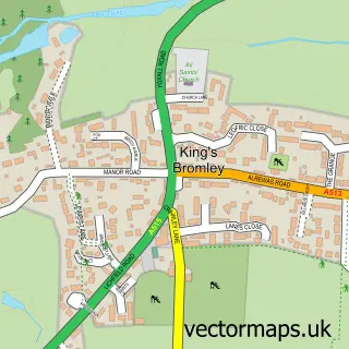
The 750-metre map sample for Armitage covers 312 mapped buildings and approximately 16.1 km of road detail, of which 25 named roads are named. The immediate area includes 2 MOT stations within 2 miles. To create a larger or custom map of Armitage, the map builder lets you define your own coverage area and download editable SVG, PDF and PNG files.
Create a larger editable map of Armitage
Choose any area you need and generate a high-quality vector map instantly. Perfect for print, planning, design, business and personal use.

This Armitage street map in Staffordshire is available as downloadable SVG, PDF and PNG map files, or as a printed map for planning, business, display, education, local information and design work. You can also create a larger custom map area using the map selector.
What this Armitage map sample shows
Armitage lies within Armitage With Handsacre Cp parish, part of Armitage With Handsacre ward in the Lichfield District local authority area. The postcode geography for this area includes the WS postcode area, the WS15 postcode district and the WS15 4 postcode sector. Residents fall under the Nhs Staffordshire And Stoke-On-Trent Integrated Care Board for NHS services.
Local features near Armitage
Within 2 milesAmenities and services in and around Armitage.
Administrative and postcode information for Armitage
Armitage lies within Armitage With Handsacre Cp parish, part of Armitage With Handsacre ward in the Lichfield District local authority area. The postcode geography for this area includes the WS postcode area, the WS15 postcode district and the WS15 4 postcode sector. Residents fall under the Nhs Staffordshire And Stoke-On-Trent Integrated Care Board for NHS services.
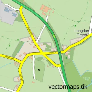
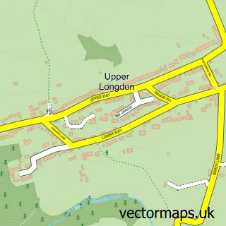
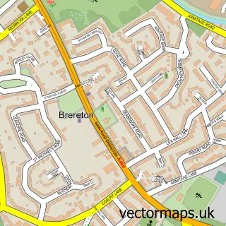
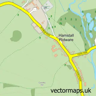
Nearby street map samples around Armitage

More street maps in Staffordshire
750 metre map area coverage
Boundary, postcode and point of interest information for the 750m x 750m rectangle centred on this sample map.
Boundaries containing map centre
Constituency: Lichfield Co Const
County: Staffordshire County
District: Lichfield District
Icb: NHS Staffordshire and Stoke-on-Trent ICB
Parish: Armitage with Handsacre CP
Police Force: staffordshire
Postcode District: WS15
Postcode Sector: WS15 4
Ward: Armitage with Handsacre Ward
Nearby boundaries intersecting sample
No additional intersecting boundaries found.
Postcode coverage
POI category counts
Doctor: 3
Professional Services: 3
Hunting And Fishing Supplies: 2
Pharmacy: 2
Plumbing: 2
Auto Loan Provider: 1
Bed And Breakfast: 1
Business Manufacturing And Supply: 1
Butcher Shop: 1
Child Care And Day Care: 1
Sample points of interest
- Home Loans Direct
- West View B&B
- Ideal Standard
- Coles N J
- The Homestead Day Services
- A Carthy
- UPS Access Point
- Post Office Travel Money
- Armitage Surgery
- Armitage Surgery
- Dr S Deb
- New Road Pharmacy
Create a larger editable map of Armitage
This sample shows only a 750 metre area. To create a larger map of Armitage, use our map builder to choose your own coverage area, add titles and download editable SVG, PDF and PNG files.
Create a custom map of Armitage