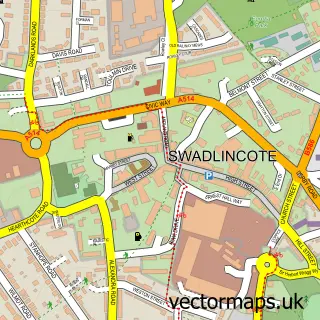
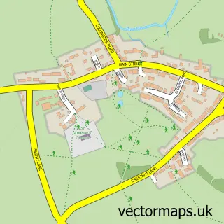
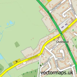
This Chilcote street map is a detailed vector street map covering a 750m x 750m area. Select a larger area to create and download your own vector street map of Chilcote.
The 750-metre map sample for Chilcote covers 36 mapped buildings and approximately 5.5 km of road detail, of which 3 named roads are named. The immediate area includes 1 MOT station within 2 miles. To create a larger or custom map of Chilcote, the map builder lets you define your own coverage area and download editable SVG, PDF and PNG files.
Create a larger editable map of Chilcote
Choose any area you need and generate a high-quality vector map instantly. Perfect for print, planning, design, business and personal use.

This Chilcote street map in Leicestershire is available as downloadable SVG, PDF and PNG map files, or as a printed map for planning, business, display, education, local information and design work. You can also create a larger custom map area using the map selector.
What this Chilcote map sample shows
Chilcote lies within Chilcote Cp parish, part of Appleby ward in the North West Leicestershire District local authority area. The postcode geography for this area includes the DE postcode area, the DE12 postcode district and the DE12 8 postcode sector. Residents fall under the Nhs Leicester, Leicestershire And Rutland Integrated Care Board for NHS services.
Local features near Chilcote
Within 2 milesAmenities and services in and around Chilcote.
Administrative and postcode information for Chilcote
The local authority covering Chilcote is North West Leicestershire District, within the county of Leicestershire. The settlement lies within Appleby ward and Chilcote Cp civil parish. The DE12 postcode district and DE12 8 postcode sector serve the immediate area. NHS provision in the area is delivered through University Hospitals Of Derby And Burton Nhs Foundation Trust.
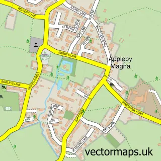
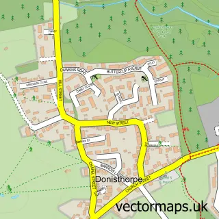
Nearby street map samples around Chilcote

More street maps in Leicestershire

750 metre map area coverage
Boundary, postcode and point of interest information for the 750m x 750m rectangle centred on this sample map.
Boundaries containing map centre
Constituency: Hinckley and Bosworth Co Const
County: Leicestershire County
District: North West Leicestershire District
Icb: NHS Leicester Leicestershire and Rutland ICB
Parish: Chilcote CP
Police Force: leicestershire
Postcode District: DE12
Postcode Sector: DE12 8
Ward: Appleby Ward
Nearby boundaries intersecting sample
No additional intersecting boundaries found.
Postcode coverage
POI category counts
Anglican Church: 1
E Commerce Service: 1
Home Service: 1
Land Surveying: 1
Marketing Agency: 1
Pest Control Service: 1
Sample points of interest
- St Matthew's Church, Chilcote, Tamworth
- Get Me Clicks
- Into nature nursery
- Chilcote Engineering Services
- Spiderscope
- R.A.S Pest Control Management
Create a larger editable map of Chilcote
This sample shows only a 750 metre area. To create a larger map of Chilcote, use our map builder to choose your own coverage area, add titles and download editable SVG, PDF and PNG files.
Create a custom map of Chilcote