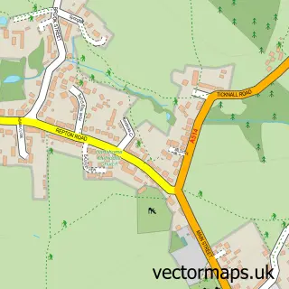
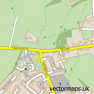
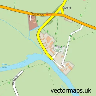
This Ticknall street map is a detailed vector street map covering a 750m x 750m area. Select a larger area to create and download your own vector street map of Ticknall.
The 750-metre map sample for Ticknall covers 168 mapped buildings and approximately 16.1 km of road detail, of which 12 named roads are named. The immediate area includes 1 school and 2 pubs. The wider area around Ticknall features 1 tourism point of interest, 3 food and drink venues and 1 hotel. To create a larger or custom map of Ticknall, the map builder lets you define your own coverage area and download editable SVG, PDF and PNG files.
Create a larger editable map of Ticknall
Choose any area you need and generate a high-quality vector map instantly. Perfect for print, planning, design, business and personal use.

This Ticknall street map in Derbyshire is available as downloadable SVG, PDF and PNG map files, or as a printed map for planning, business, display, education, local information and design work. You can also create a larger custom map area using the map selector.
What this Ticknall map sample shows
Ticknall lies within Ticknall Cp parish, part of Repton ward in the South Derbyshire District local authority area. The postcode geography for this area includes the DE postcode area, the DE73 postcode district and the DE73 7 postcode sector. Residents fall under the Nhs Derby And Derbyshire Integrated Care Board for NHS services.
Local features near Ticknall
Within 2 milesAmenities and services in and around Ticknall.
Administrative and postcode information for Ticknall
The local authority covering Ticknall is South Derbyshire District, within the county of Derbyshire. The settlement lies within Repton ward and Ticknall Cp civil parish. The DE73 postcode district and DE73 7 postcode sector serve the immediate area. NHS provision in the area is delivered through University Hospitals Of Derby And Burton Nhs Foundation Trust.
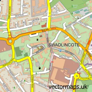
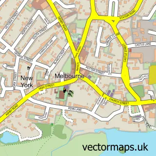
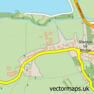
Nearby street map samples around Ticknall

More street maps in Derbyshire
750 metre map area coverage
Boundary, postcode and point of interest information for the 750m x 750m rectangle centred on this sample map.
Boundaries containing map centre
Constituency: South Derbyshire Co Const
County: Derbyshire County
District: South Derbyshire District
Icb: NHS Derby and Derbyshire ICB
Parish: Ticknall CP
Police Force: derbyshire
Postcode District: DE73
Postcode Sector: DE73 7
Ward: Repton Ward
Nearby boundaries intersecting sample
No additional intersecting boundaries found.
Postcode coverage
POI category counts
Elementary School: 2
Pub: 2
Art Gallery: 1
Bubble Tea: 1
Church Cathedral: 1
Coffee Shop: 1
Cricket Ground: 1
E Cigarette Store: 1
Farm: 1
Gift Shop: 1
Sample points of interest
- Historic Car Art
- NaughTEA Boba
- St George's Church
- Scoff & Shop
- Ticknall Cricket Club
- Village Vape
- Dame Catherine Harper School
- Dame Catherine Harpur Primary and Nursery
- Narrow Lane Market Garden
- Occasions Emporium
- Incy Wincy Cottage
- The Stables
Create a larger editable map of Ticknall
This sample shows only a 750 metre area. To create a larger map of Ticknall, use our map builder to choose your own coverage area, add titles and download editable SVG, PDF and PNG files.
Create a custom map of Ticknall