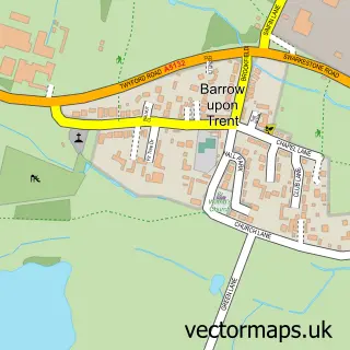
This King's Newton street map is a detailed vector street map covering a 750m x 750m area. Select a larger area to create and download your own vector street map of King's Newton.
The 750-metre map sample for King's Newton covers 275 mapped buildings and approximately 11.9 km of road detail, of which 17 named roads are named. The immediate area includes 1 GP surgery within 2 miles, 1 pub and 2 MOT stations within 2 miles. The wider area around King's Newton features 1 tourism point of interest and 1 food and drink venue. To create a larger or custom map of King's Newton, the map builder lets you define your own coverage area and download editable SVG, PDF and PNG files.
Create a larger editable map of King's Newton
Choose any area you need and generate a high-quality vector map instantly. Perfect for print, planning, design, business and personal use.

This King's Newton street map in Derbyshire is available as downloadable SVG, PDF and PNG map files, or as a printed map for planning, business, display, education, local information and design work. You can also create a larger custom map area using the map selector.
What this King's Newton map sample shows
King's Newton lies within Melbourne Cp parish, part of Melbourne ward in the South Derbyshire District local authority area. The postcode geography for this area includes the DE postcode area, the DE73 postcode district and the DE73 8 postcode sector. Residents fall under the Nhs Derby And Derbyshire Integrated Care Board for NHS services.
Local features near King's Newton
Within 2 milesAmenities and services in and around King's Newton.
Administrative and postcode information for King's Newton
The local authority covering King's Newton is South Derbyshire District, within the county of Derbyshire. The settlement lies within Melbourne ward and Melbourne Cp civil parish. The DE73 postcode district and DE73 8 postcode sector serve the immediate area. NHS provision in the area is delivered through University Hospitals Of Derby And Burton Nhs Foundation Trust.
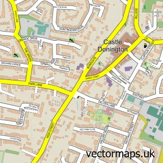
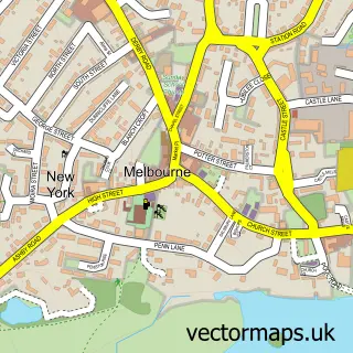
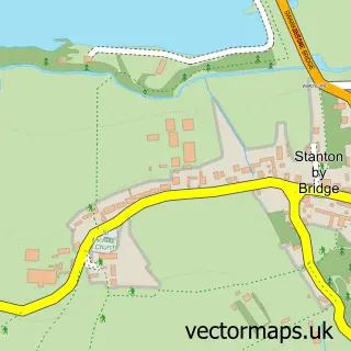
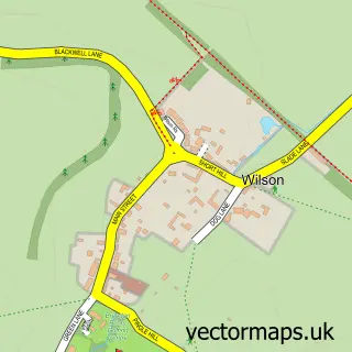
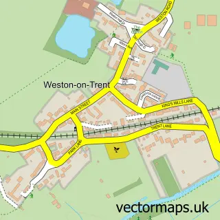
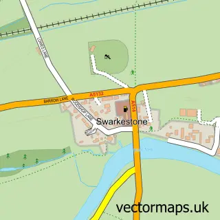
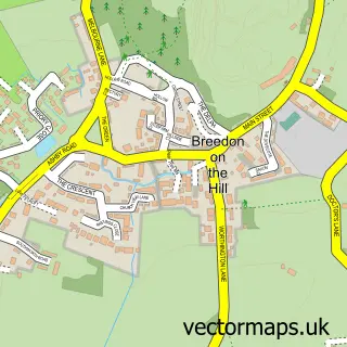
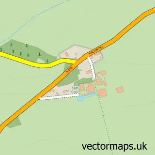
Nearby street map samples around King's Newton

More street maps in Derbyshire
750 metre map area coverage
Boundary, postcode and point of interest information for the 750m x 750m rectangle centred on this sample map.
Boundaries containing map centre
Constituency: South Derbyshire Co Const
County: Derbyshire County
District: South Derbyshire District
Icb: NHS Derby and Derbyshire ICB
Parish: Melbourne CP
Police Force: derbyshire
Postcode District: DE73
Postcode Sector: DE73 8
Ward: Melbourne Ward
Nearby boundaries intersecting sample
No additional intersecting boundaries found.
Postcode coverage
POI category counts
Advertising Agency: 1
Attractions And Activities: 1
Building Supply Store: 1
Education: 1
Farm: 1
Farmers Market: 1
Financial Advising: 1
Graphic Designer: 1
Hair Stylist: 1
Health And Medical: 1
Sample points of interest
- Mick Usher Illustration
- Kings Newton Fields
- Phillip Clint
- Hallmark Education Limited
- Tori and Ben's Farm
- Chantry Farm Shop
- MLI Advice
- Mick Usher Illustration
- Vici Mobile Hairdessers
- Balance Health
- Watermeadow Lane Jewellery
- National Federation of Builders
Create a larger editable map of King's Newton
This sample shows only a 750 metre area. To create a larger map of King's Newton, use our map builder to choose your own coverage area, add titles and download editable SVG, PDF and PNG files.
Create a custom map of King's Newton