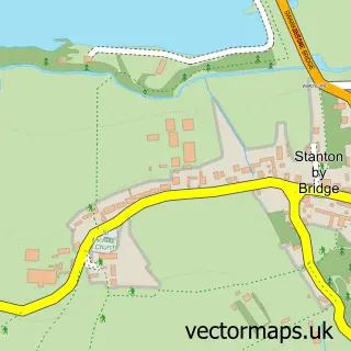
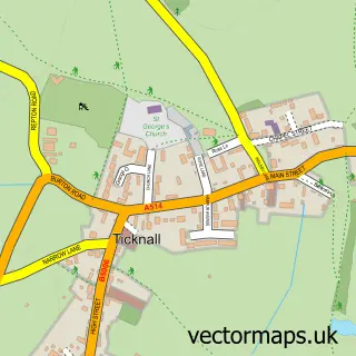
This Swarkestone street map is a detailed vector street map covering a 750m x 750m area. Select a larger area to create and download your own vector street map of Swarkestone.
The 750-metre map sample for Swarkestone covers 70 mapped buildings and approximately 14.2 km of road detail, of which 5 named roads are named. The immediate area includes 1 GP surgery within 2 miles, 1 pub and 1 MOT station within 2 miles. The wider area around Swarkestone features 1 tourism point of interest, 3 food and drink venues and 1 campsite within 2 miles. To create a larger or custom map of Swarkestone, the map builder lets you define your own coverage area and download editable SVG, PDF and PNG files.
Create a larger editable map of Swarkestone
Choose any area you need and generate a high-quality vector map instantly. Perfect for print, planning, design, business and personal use.

This Swarkestone street map in Derbyshire is available as downloadable SVG, PDF and PNG map files, or as a printed map for planning, business, display, education, local information and design work. You can also create a larger custom map area using the map selector.
What this Swarkestone map sample shows
Swarkestone lies within Swarkestone Cp parish, part of Aston ward in the South Derbyshire District local authority area. The postcode geography for this area includes the DE postcode area, the DE73 postcode district and the DE73 7 postcode sector. Residents fall under the Nhs Derby And Derbyshire Integrated Care Board for NHS services.
Local features near Swarkestone
Within 2 milesAmenities and services in and around Swarkestone.
Administrative and postcode information for Swarkestone
The local authority covering Swarkestone is South Derbyshire District, within the county of Derbyshire. The settlement lies within Aston ward and Swarkestone Cp civil parish. The DE73 postcode district and DE73 7 postcode sector serve the immediate area. NHS provision in the area is delivered through University Hospitals Of Derby And Burton Nhs Foundation Trust.
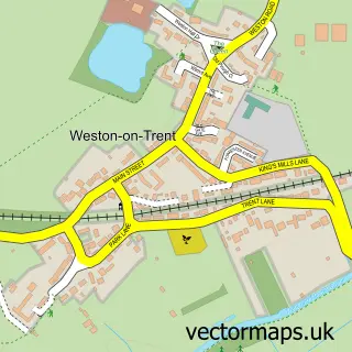
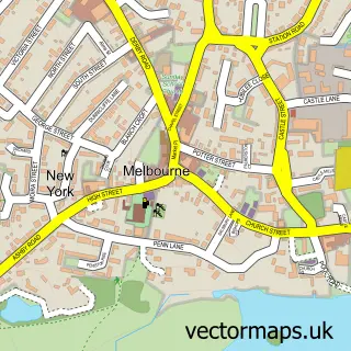
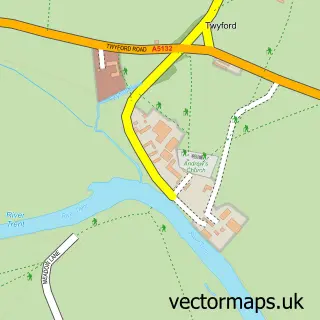
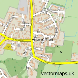
Nearby street map samples around Swarkestone

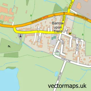
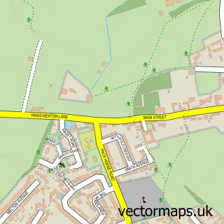
More street maps in Derbyshire
750 metre map area coverage
Boundary, postcode and point of interest information for the 750m x 750m rectangle centred on this sample map.
Boundaries containing map centre
Constituency: South Derbyshire Co Const
County: Derbyshire County
District: South Derbyshire District
Icb: NHS Derby and Derbyshire ICB
Parish: Swarkestone CP
Police Force: derbyshire
Postcode District: DE73
Postcode Sector: DE73 7
Ward: Aston Ward
Nearby boundaries intersecting sample
Parish: Stanton by Bridge CP
Ward: Melbourne Ward
Postcode coverage
POI category counts
Gas Station: 2
Nursery And Gardening: 2
Business Management Services: 1
Church Cathedral: 1
Coffee Shop: 1
Cricket Ground: 1
Energy Company: 1
Landmark And Historical Building: 1
Pub: 1
Restaurant: 1
Sample points of interest
- Village Cars
- St James's Church
- Costa Express
- Swarkestone Cricket Club
- Osprey Charging Station
- TEXACO Station
- Texaco
- Swarkestone Bridge
- Poplars Farm Christmas Trees, Stanton by Bridge
- Swarkestone Nursery
- Crewe and Harpur
- The Garden Restaurant
Create a larger editable map of Swarkestone
This sample shows only a 750 metre area. To create a larger map of Swarkestone, use our map builder to choose your own coverage area, add titles and download editable SVG, PDF and PNG files.
Create a custom map of Swarkestone