This Cattistock street map is a detailed vector street map covering a 750m x 750m area. Select a larger area to create and download your own vector street map of Cattistock.
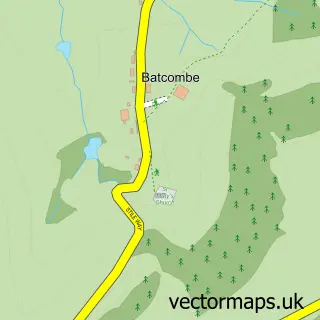
The 750-metre map sample for Cattistock covers 144 mapped buildings and approximately 7.1 km of road detail, of which 11 named roads are named. The immediate area includes 1 pub and 1 MOT station within 2 miles. The wider area around Cattistock features 2 tourism points of interest, 1 food and drink venue and 1 hotel. To create a larger or custom map of Cattistock, the map builder lets you define your own coverage area and download editable SVG, PDF and PNG files.
Create a larger editable map of Cattistock
Choose any area you need and generate a high-quality vector map instantly. Perfect for print, planning, design, business and personal use.

This Cattistock street map in Dorset is available as downloadable SVG, PDF and PNG map files, or as a printed map for planning, business, display, education, local information and design work. You can also create a larger custom map area using the map selector.
What this Cattistock map sample shows
Cattistock lies within Cattistock Cp parish, part of Eggardon ward in the Dorset local authority area. The postcode geography for this area includes the DT postcode area, the DT2 postcode district and the DT2 0 postcode sector. Residents fall under the Nhs Dorset Integrated Care Board for NHS services.
Local features near Cattistock
Within 2 milesAmenities and services in and around Cattistock.
Administrative and postcode information for Cattistock
The local authority covering Cattistock is Dorset, within the county of Dorset. The settlement lies within Eggardon ward and Cattistock Cp civil parish. The DT2 postcode district and DT2 0 postcode sector serve the immediate area. NHS provision in the area is delivered through Dorset County Hospital Nhs Foundation Trust.
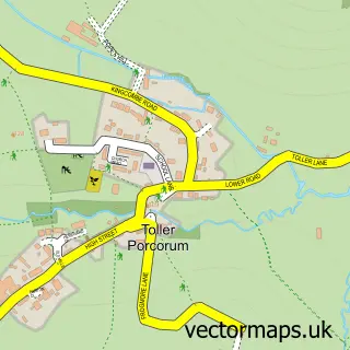
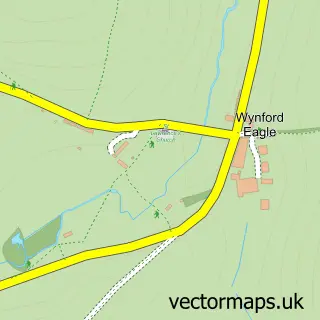
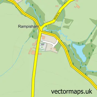
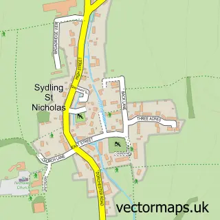
Nearby street map samples around Cattistock

More street maps in Dorset
750 metre map area coverage
Boundary, postcode and point of interest information for the 750m x 750m rectangle centred on this sample map.
Boundaries containing map centre
Constituency: West Dorset Co Const
District: Dorset
Icb: NHS Dorset ICB
Parish: Cattistock CP
Police Force: dorset
Postcode District: DT2
Postcode Sector: DT2 0
Ward: Eggardon Ward
Nearby boundaries intersecting sample
Parish: Chilfrome CP
Postcode coverage
POI category counts
Online Shop: 2
Tours: 2
Anglican Church: 1
Bed And Breakfast: 1
Business Consulting: 1
Charity Organization: 1
Church Cathedral: 1
Cricket Ground: 1
Hotel: 1
Landscaping: 1
Sample points of interest
- Cattistock: St Peter & St Paul
- Fullers Earth Dorset B&B
- John Gerard
- Children of Fiji
- St Peters Church Cattistock
- Cattistock Cricket Club
- Fox & Hounds Inn
- Spires Landscaping Ltd.
- Cattistock Post Office
- Post Office
- Spires Landscaping Ltd
- The Fox & Hounds Inn
Create a larger editable map of Cattistock
This sample shows only a 750 metre area. To create a larger map of Cattistock, use our map builder to choose your own coverage area, add titles and download editable SVG, PDF and PNG files.
Create a custom map of Cattistock