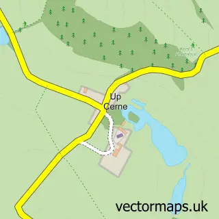
This Sydling St Nicholas street map is a detailed vector street map covering a 750m x 750m area. Select a larger area to create and download your own vector street map of Sydling St Nicholas.
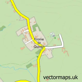
The 750-metre map sample for Sydling St Nicholas covers 149 mapped buildings and approximately 6.9 km of road detail, of which 10 named roads are named. The wider area around Sydling St Nicholas features 2 tourism points of interest. To create a larger or custom map of Sydling St Nicholas, the map builder lets you define your own coverage area and download editable SVG, PDF and PNG files.
Create a larger editable map of Sydling St Nicholas
Choose any area you need and generate a high-quality vector map instantly. Perfect for print, planning, design, business and personal use.

This Sydling St Nicholas street map in Dorset is available as downloadable SVG, PDF and PNG map files, or as a printed map for planning, business, display, education, local information and design work. You can also create a larger custom map area using the map selector.
What this Sydling St Nicholas map sample shows
Sydling St Nicholas lies within Sydling St. Nicholas Cp parish, part of Chalk Valleys ward in the Dorset local authority area. The postcode geography for this area includes the DT postcode area, the DT2 postcode district and the DT2 9 postcode sector. Residents fall under the Nhs Dorset Integrated Care Board for NHS services.
Local features near Sydling St Nicholas
Within 2 milesAmenities and services in and around Sydling St Nicholas.
Administrative and postcode information for Sydling St Nicholas
Sydling St Nicholas lies within Sydling St. Nicholas Cp parish, part of Chalk Valleys ward in the Dorset local authority area. The postcode geography for this area includes the DT postcode area, the DT2 postcode district and the DT2 9 postcode sector. Residents fall under the Nhs Dorset Integrated Care Board for NHS services.
Nearby street map samples around Sydling St Nicholas

More street maps in Dorset
750 metre map area coverage
Boundary, postcode and point of interest information for the 750m x 750m rectangle centred on this sample map.
Boundaries containing map centre
Constituency: West Dorset Co Const
District: Dorset
Icb: NHS Dorset ICB
Parish: Sydling St. Nicholas CP
Police Force: dorset
Postcode District: DT2
Postcode Sector: DT2 9
Ward: Chalk Valleys Ward
Nearby boundaries intersecting sample
No additional intersecting boundaries found.
Postcode coverage
POI category counts
Post Office: 3
Accountant: 1
Anglican Church: 1
Attractions And Activities: 1
Building Contractor: 1
Currency Exchange: 1
Electrician: 1
Gardener: 1
Gastropub: 1
Holiday Rental Home: 1
Sample points of interest
- Naldrett Accountants
- Sydling: St Nicholas Church
- Eggardon Hill
- Gregorys Fencing Landscaping & Garden Maintenance
- Post Office Travel Money
- SGS Electrical
- Green Thumb Yeovil
- Greyhound Inn, Sydling St Nicholas
- Mabel's Cottage, Dorset
- Sydling St Nicholas
- Post Office
- Post Office-Sydling SAS
Create a larger editable map of Sydling St Nicholas
This sample shows only a 750 metre area. To create a larger map of Sydling St Nicholas, use our map builder to choose your own coverage area, add titles and download editable SVG, PDF and PNG files.
Create a custom map of Sydling St Nicholas