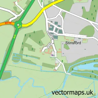
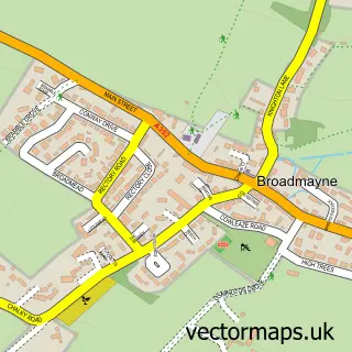
This Dorchester street map is a detailed vector street map covering a 750m x 750m area. Select a larger area to create and download your own vector street map of Dorchester.
The 750-metre map sample for Dorchester covers 267 mapped buildings and approximately 22.6 km of road detail, of which 53 named roads are named. The immediate area includes 1 school, 1 GP surgery, with 5 within 2 miles, 17 pubs and 3 MOT stations, with 13 within 2 miles. The wider area around Dorchester features 17 tourism points of interest, 52 food and drink venues and 5 hotels. To create a larger or custom map of Dorchester, the map builder lets you define your own coverage area and download editable SVG, PDF and PNG files.
Create a larger editable map of Dorchester
Choose any area you need and generate a high-quality vector map instantly. Perfect for print, planning, design, business and personal use.

This Dorchester street map in Dorset is available as downloadable SVG, PDF and PNG map files, or as a printed map for planning, business, display, education, local information and design work. You can also create a larger custom map area using the map selector.
What this Dorchester map sample shows
Dorchester lies within Dorchester Cp parish, part of Dorchester East ward in the Dorset local authority area. The postcode geography for this area includes the DT postcode area, the DT1 postcode district and the DT1 1 postcode sector. Residents fall under the Nhs Dorset Integrated Care Board for NHS services.
Local features near Dorchester
Within 2 milesAmenities and services in and around Dorchester.
Administrative and postcode information for Dorchester
Dorchester lies within Dorchester Cp parish, part of Dorchester East ward in the Dorset local authority area. The postcode geography for this area includes the DT postcode area, the DT1 postcode district and the DT1 1 postcode sector. Residents fall under the Nhs Dorset Integrated Care Board for NHS services.
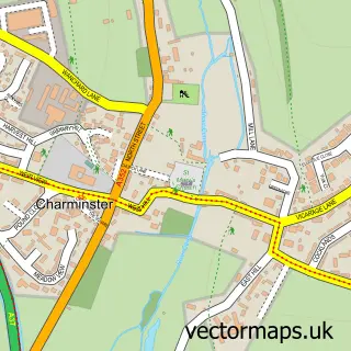
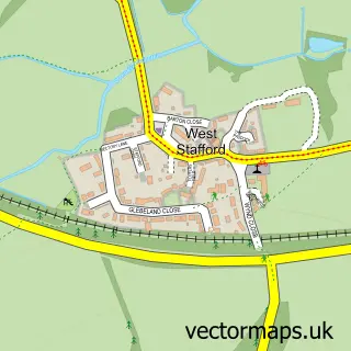
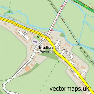
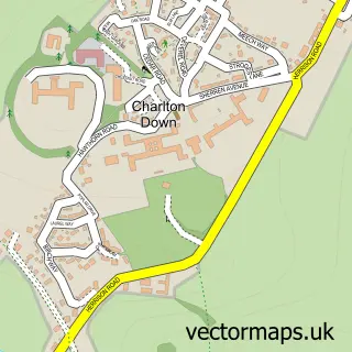
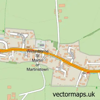
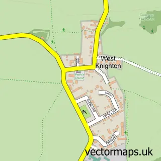
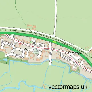
Nearby street map samples around Dorchester

More street maps in Dorset
750 metre map area coverage
Boundary, postcode and point of interest information for the 750m x 750m rectangle centred on this sample map.
Boundaries containing map centre
Constituency: West Dorset Co Const
District: Dorset
Icb: NHS Dorset ICB
Parish: Dorchester CP
Police Force: dorset
Postcode District: DT1
Postcode Sector: DT1 1
Ward: Dorchester West Ward
Nearby boundaries intersecting sample
Postcode Sector: DT1 2
Ward: Dorchester East Ward
Postcode coverage
POI category counts
Clothing Store: 20
Real Estate Agent: 18
Pub: 17
Beauty Salon: 15
Professional Services: 15
Cafe: 14
Hair Salon: 14
Charity Organization: 11
Coffee Shop: 11
Gift Shop: 11
Sample points of interest
- Cummins & Co.
- Kennedy Legg
- Old Mill Accountancy
- Pugsley Revill
- Saj Accountancy Services
- Blast Off P.T Fitness and Mindset Coaching
- Intersport Tony Pryce Dorchester
- The Gym Group Dorchester
- Poke Acupuncture
- Dorset Horn and Poll Dorset Sheep Breeders Association
- Nurture Composts
- Charles Street Clinic
Create a larger editable map of Dorchester
This sample shows only a 750 metre area. To create a larger map of Dorchester, use our map builder to choose your own coverage area, add titles and download editable SVG, PDF and PNG files.
Create a custom map of Dorchester