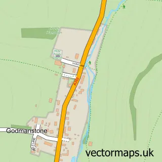
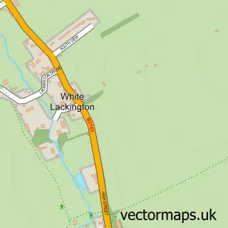
This Charlton Down street map is a detailed vector street map covering a 750m x 750m area. Select a larger area to create and download your own vector street map of Charlton Down.
The 750-metre map sample for Charlton Down covers 238 mapped buildings and approximately 10.6 km of road detail, of which 20 named roads are named. The immediate area includes 1 MOT station within 2 miles. The wider area around Charlton Down features 1 tourism point of interest. To create a larger or custom map of Charlton Down, the map builder lets you define your own coverage area and download editable SVG, PDF and PNG files.
Create a larger editable map of Charlton Down
Choose any area you need and generate a high-quality vector map instantly. Perfect for print, planning, design, business and personal use.

This Charlton Down street map in Dorset is available as downloadable SVG, PDF and PNG map files, or as a printed map for planning, business, display, education, local information and design work. You can also create a larger custom map area using the map selector.
What this Charlton Down map sample shows
Charlton Down lies within Charminster Cp parish, part of Charminster St Mary's ward in the Dorset local authority area. The postcode geography for this area includes the DT postcode area, the DT2 postcode district and the DT2 7 postcode sector. Residents fall under the Nhs Dorset Integrated Care Board for NHS services.
Local features near Charlton Down
Within 2 milesAmenities and services in and around Charlton Down.
Administrative and postcode information for Charlton Down
Charlton Down lies within Charminster Cp parish, part of Charminster St Mary's ward in the Dorset local authority area. The postcode geography for this area includes the DT postcode area, the DT2 postcode district and the DT2 7 postcode sector. Residents fall under the Nhs Dorset Integrated Care Board for NHS services.
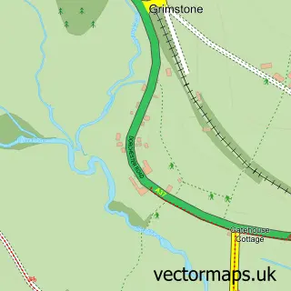
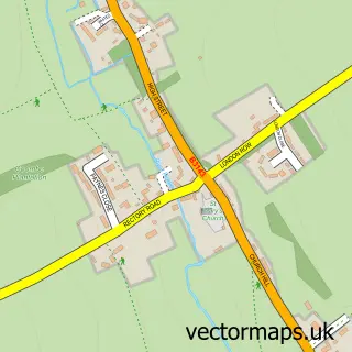
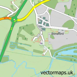
Nearby street map samples around Charlton Down
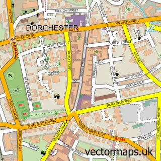

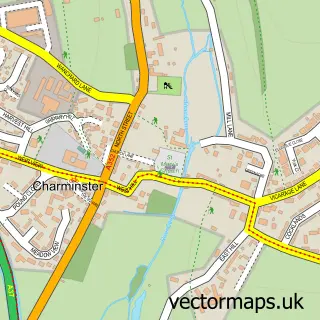
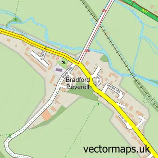
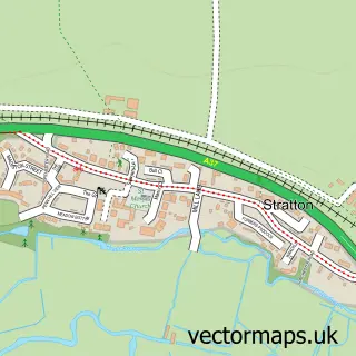
More street maps in Dorset
750 metre map area coverage
Boundary, postcode and point of interest information for the 750m x 750m rectangle centred on this sample map.
Boundaries containing map centre
Constituency: West Dorset Co Const
District: Dorset
Icb: NHS Dorset ICB
Parish: Charminster CP
Police Force: dorset
Postcode District: DT2
Postcode Sector: DT2 9
Ward: Charminster St. Mary's Ward
Nearby boundaries intersecting sample
No additional intersecting boundaries found.
Postcode coverage
POI category counts
Assisted Living Facility: 2
Gym: 2
Active Life: 1
Amateur Sports Team: 1
Beauty Salon: 1
Bookstore: 1
Business Consulting: 1
Carpenter: 1
Community Center: 1
Convenience Store: 1
Sample points of interest
- Signature Fitness
- Charlton Down Cricket Club
- Leonard Cheshire Disability
- Private Care Dorchester
- Beauty by Louise
- The Works
- Anagram People
- SJTcarpentry
- Charlton Down Village Hall
- Central Convenience Store
- Birch Pet Services
- DRIVE 321 Dorchester
Create a larger editable map of Charlton Down
This sample shows only a 750 metre area. To create a larger map of Charlton Down, use our map builder to choose your own coverage area, add titles and download editable SVG, PDF and PNG files.
Create a custom map of Charlton Down