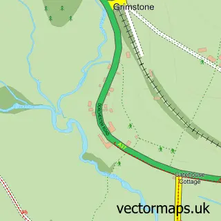
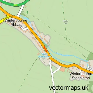
This Bradford Peverell street map is a detailed vector street map covering a 750m x 750m area. Select a larger area to create and download your own vector street map of Bradford Peverell.
The 750-metre map sample for Bradford Peverell covers 121 mapped buildings and approximately 13.1 km of road detail, of which 7 named roads are named. The immediate area includes 2 GP surgeries within 2 miles and 1 MOT station within 2 miles. To create a larger or custom map of Bradford Peverell, the map builder lets you define your own coverage area and download editable SVG, PDF and PNG files.
Create a larger editable map of Bradford Peverell
Choose any area you need and generate a high-quality vector map instantly. Perfect for print, planning, design, business and personal use.

This Bradford Peverell street map in Dorset is available as downloadable SVG, PDF and PNG map files, or as a printed map for planning, business, display, education, local information and design work. You can also create a larger custom map area using the map selector.
What this Bradford Peverell map sample shows
Bradford Peverell lies within Bradford Peverell Cp parish, part of Charminster St Mary's ward in the Dorset local authority area. The postcode geography for this area includes the DT postcode area, the DT2 postcode district and the DT2 9 postcode sector. Residents fall under the Nhs Dorset Integrated Care Board for NHS services.
Local features near Bradford Peverell
Within 2 milesAmenities and services in and around Bradford Peverell.
Administrative and postcode information for Bradford Peverell
The local authority covering Bradford Peverell is Dorset, within the county of Dorset. The settlement lies within Charminster St Mary's ward and Bradford Peverell Cp civil parish. The DT2 postcode district and DT2 9 postcode sector serve the immediate area. NHS provision in the area is delivered through Dorset County Hospital Nhs Foundation Trust.
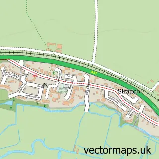
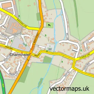
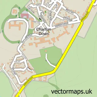
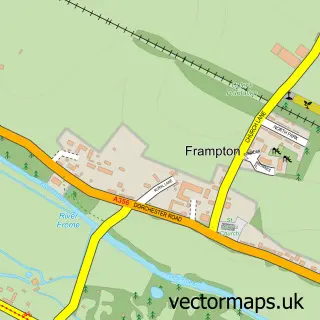
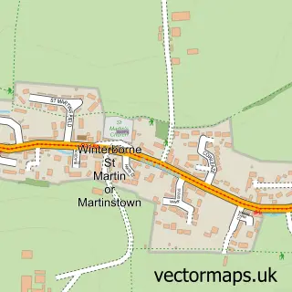
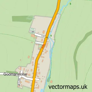
Nearby street map samples around Bradford Peverell

More street maps in Dorset
750 metre map area coverage
Boundary, postcode and point of interest information for the 750m x 750m rectangle centred on this sample map.
Boundaries containing map centre
Constituency: West Dorset Co Const
District: Dorset
Icb: NHS Dorset ICB
Parish: Bradford Peverell CP
Police Force: dorset
Postcode District: DT2
Postcode Sector: DT2 9
Ward: Charminster St. Mary's Ward
Nearby boundaries intersecting sample
Parish: Stratton CP
Postcode coverage
POI category counts
Anglican Church: 1
Bed And Breakfast: 1
Building Supply Store: 1
Domestic Business And Trade Organizations: 1
Electrician: 1
Pet Groomer: 1
Sample points of interest
- St Mary's Bradford Peverell
- Waterfield House
- A La Ronde Landscapes
- Fourniers Ltd.
- Andy Whitty Ltd
- Ruffelled Mutts Dog Grooming Salon
Create a larger editable map of Bradford Peverell
This sample shows only a 750 metre area. To create a larger map of Bradford Peverell, use our map builder to choose your own coverage area, add titles and download editable SVG, PDF and PNG files.
Create a custom map of Bradford Peverell