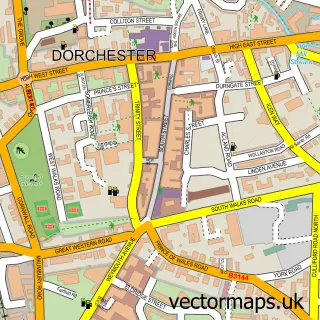
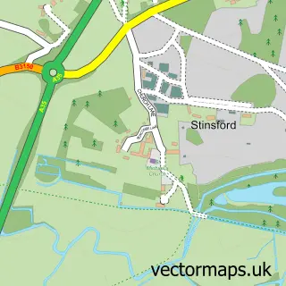
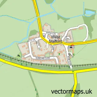
This Charminster street map is a detailed vector street map covering a 750m x 750m area. Select a larger area to create and download your own vector street map of Charminster.
The 750-metre map sample for Charminster covers 319 mapped buildings and approximately 15.4 km of road detail, of which 20 named roads are named. The immediate area includes 1 school, 5 GP surgeries within 2 miles, 2 pubs and 1 MOT station, with 10 within 2 miles. The wider area around Charminster features 2 food and drink venues. To create a larger or custom map of Charminster, the map builder lets you define your own coverage area and download editable SVG, PDF and PNG files.
Create a larger editable map of Charminster
Choose any area you need and generate a high-quality vector map instantly. Perfect for print, planning, design, business and personal use.

This Charminster street map in Dorset is available as downloadable SVG, PDF and PNG map files, or as a printed map for planning, business, display, education, local information and design work. You can also create a larger custom map area using the map selector.
What this Charminster map sample shows
Charminster lies within Charminster Cp parish, part of Charminster St Mary's ward in the Dorset local authority area. The postcode geography for this area includes the DT postcode area, the DT2 postcode district and the DT2 9 postcode sector. Residents fall under the Nhs Dorset Integrated Care Board for NHS services.
Local features near Charminster
Within 2 milesAmenities and services in and around Charminster.
Administrative and postcode information for Charminster
Charminster lies within Charminster Cp parish, part of Charminster St Mary's ward in the Dorset local authority area. The postcode geography for this area includes the DT postcode area, the DT2 postcode district and the DT2 9 postcode sector. Residents fall under the Nhs Dorset Integrated Care Board for NHS services.
Nearby street map samples around Charminster

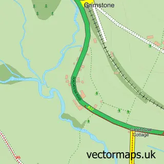
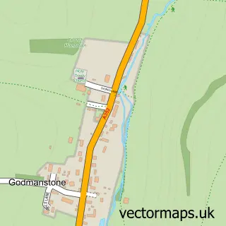
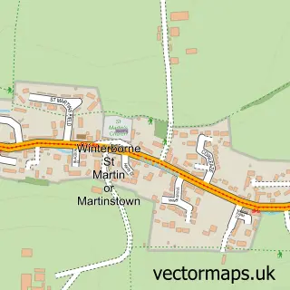
More street maps in Dorset
750 metre map area coverage
Boundary, postcode and point of interest information for the 750m x 750m rectangle centred on this sample map.
Boundaries containing map centre
Constituency: West Dorset Co Const
District: Dorset
Icb: NHS Dorset ICB
Parish: Charminster CP
Police Force: dorset
Postcode District: DT2
Postcode Sector: DT2 9
Ward: Charminster St. Mary's Ward
Nearby boundaries intersecting sample
No additional intersecting boundaries found.
Postcode coverage
POI category counts
Auto Parts And Supply Store: 2
Automotive Parts And Accessories: 2
Automotive Repair: 2
Building Supply Store: 2
International Business And Trade Services: 2
Pub: 2
Anglican Church: 1
Arts And Entertainment: 1
Auto Body Shop: 1
Automotive: 1
Sample points of interest
- Charminster: St Mary the Virgin
- The Inn For All Seasons
- Spectratec Smart Solutions
- M X 5 Heaven
- Mx5 Heaven
- Charminster Garage
- David Vincent Ltd
- Fusion Van Furniture
- Charminster Garage
- Van Creations
- Onwards & Upwards
- Everest Home Improvements
Create a larger editable map of Charminster
This sample shows only a 750 metre area. To create a larger map of Charminster, use our map builder to choose your own coverage area, add titles and download editable SVG, PDF and PNG files.
Create a custom map of Charminster