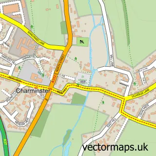
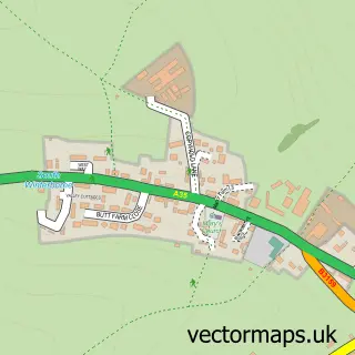
This Stratton street map is a detailed vector street map covering a 750m x 750m area. Select a larger area to create and download your own vector street map of Stratton.
The 750-metre map sample for Stratton covers 156 mapped buildings and approximately 10.3 km of road detail, of which 16 named roads are named. The immediate area includes 2 pubs and 2 MOT stations within 2 miles. The wider area around Stratton features 2 food and drink venues. To create a larger or custom map of Stratton, the map builder lets you define your own coverage area and download editable SVG, PDF and PNG files.
Create a larger editable map of Stratton
Choose any area you need and generate a high-quality vector map instantly. Perfect for print, planning, design, business and personal use.

This Stratton street map in Dorset is available as downloadable SVG, PDF and PNG map files, or as a printed map for planning, business, display, education, local information and design work. You can also create a larger custom map area using the map selector.
What this Stratton map sample shows
Stratton lies within Stratton Cp parish, part of Charminster St Mary's ward in the Dorset local authority area. The postcode geography for this area includes the DT postcode area, the DT2 postcode district and the DT2 9 postcode sector. Residents fall under the Nhs Dorset Integrated Care Board for NHS services.
Local features near Stratton
Within 2 milesAmenities and services in and around Stratton.
Administrative and postcode information for Stratton
Stratton lies within Stratton Cp parish, part of Charminster St Mary's ward in the Dorset local authority area. The postcode geography for this area includes the DT postcode area, the DT2 postcode district and the DT2 9 postcode sector. Residents fall under the Nhs Dorset Integrated Care Board for NHS services.
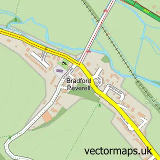
Nearby street map samples around Stratton
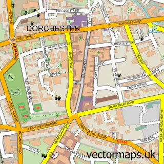

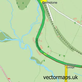
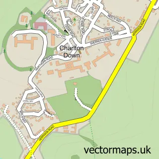
More street maps in Dorset
750 metre map area coverage
Boundary, postcode and point of interest information for the 750m x 750m rectangle centred on this sample map.
Boundaries containing map centre
Constituency: West Dorset Co Const
District: Dorset
Icb: NHS Dorset ICB
Parish: Stratton CP
Police Force: dorset
Postcode District: DT2
Postcode Sector: DT2 9
Ward: Charminster St. Mary's Ward
Nearby boundaries intersecting sample
Parish: Bradford Peverell CP
Postcode coverage
POI category counts
Pub: 2
Anglican Church: 1
Church Cathedral: 1
Cleaning Services: 1
Community Services Non Profits: 1
Engineering Services: 1
Kids Recreation And Party: 1
Life Coach: 1
Specialty Grocery Store: 1
Web Designer: 1
Sample points of interest
- Stratton: St Mary the Virgin
- Stratton Church
- MCM Services
- Stratton Dorset
- ML Gas and Heating
- Stratton Village Hall
- Training For Results
- Saxon Arms
- The Poachers Inn Piddletrenthide
- Stony Groves Kampot Pepper UK
- Atonic
Create a larger editable map of Stratton
This sample shows only a 750 metre area. To create a larger map of Stratton, use our map builder to choose your own coverage area, add titles and download editable SVG, PDF and PNG files.
Create a custom map of Stratton