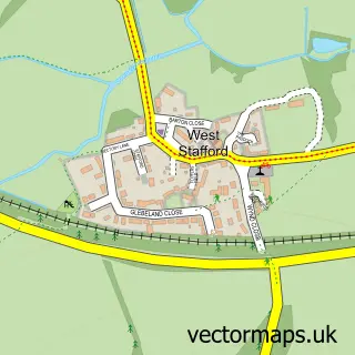
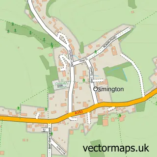
This West Knighton street map is a detailed vector street map covering a 750m x 750m area. Select a larger area to create and download your own vector street map of West Knighton.
The 750-metre map sample for West Knighton covers 122 mapped buildings and approximately 5.5 km of road detail, of which 5 named roads are named. The immediate area includes 1 school, 2 pubs and 1 MOT station within 2 miles. The wider area around West Knighton features 2 food and drink venues and 1 campsite within 2 miles. To create a larger or custom map of West Knighton, the map builder lets you define your own coverage area and download editable SVG, PDF and PNG files.
Create a larger editable map of West Knighton
Choose any area you need and generate a high-quality vector map instantly. Perfect for print, planning, design, business and personal use.

This West Knighton street map in Dorset is available as downloadable SVG, PDF and PNG map files, or as a printed map for planning, business, display, education, local information and design work. You can also create a larger custom map area using the map selector.
What this West Knighton map sample shows
West Knighton lies within West Knighton Cp parish, part of Winterborne & Broadmayne ward in the Dorset local authority area. The postcode geography for this area includes the DT postcode area, the DT2 postcode district and the DT2 8 postcode sector. Residents fall under the Nhs Dorset Integrated Care Board for NHS services.
Local features near West Knighton
Within 2 milesAmenities and services in and around West Knighton.
Administrative and postcode information for West Knighton
The local authority covering West Knighton is Dorset, within the county of Dorset. The settlement lies within Winterborne & Broadmayne ward and West Knighton Cp civil parish. The DT2 postcode district and DT2 8 postcode sector serve the immediate area. NHS provision in the area is delivered through Dorset County Hospital Nhs Foundation Trust.
Nearby street map samples around West Knighton
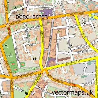

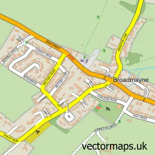
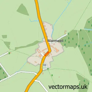
More street maps in Dorset
750 metre map area coverage
Boundary, postcode and point of interest information for the 750m x 750m rectangle centred on this sample map.
Boundaries containing map centre
Constituency: West Dorset Co Const
District: Dorset
Icb: NHS Dorset ICB
Parish: West Knighton CP
Police Force: dorset
Postcode District: DT2
Postcode Sector: DT2 8
Ward: Winterborne & Broadmayne Ward
Nearby boundaries intersecting sample
Parish: Broadmayne CP
Postcode coverage
POI category counts
Driving School: 2
Pub: 2
Anglican Church: 1
Bed And Breakfast: 1
Building Supply Store: 1
Charity Organization: 1
Landscaping: 1
Playground: 1
Plumbing: 1
Preschool: 1
Sample points of interest
- St Peter, West Knighton
- Higher Lewell Farm House
- KAP Woodwork & Building Services
- West Knighton Play Park
- Fix The Cell
- Nicks Motorcycle training school
- Coppard Developments
- West Knighton Play Area
- Knighton Plumbing and Heating
- Broadmayne & West Knighton Pre-School
- New Inn
- The New Inn
Create a larger editable map of West Knighton
This sample shows only a 750 metre area. To create a larger map of West Knighton, use our map builder to choose your own coverage area, add titles and download editable SVG, PDF and PNG files.
Create a custom map of West Knighton