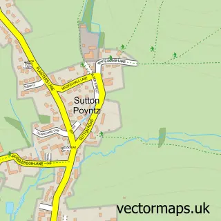
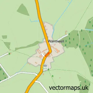
This Osmington street map is a detailed vector street map covering a 750m x 750m area. Select a larger area to create and download your own vector street map of Osmington.
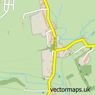
The 750-metre map sample for Osmington covers 177 mapped buildings and approximately 5.7 km of road detail, of which 8 named roads are named. The immediate area includes 1 pub and 1 MOT station within 2 miles. The wider area around Osmington features 1 food and drink venue and 6 campsites within 2 miles. To create a larger or custom map of Osmington, the map builder lets you define your own coverage area and download editable SVG, PDF and PNG files.
Create a larger editable map of Osmington
Choose any area you need and generate a high-quality vector map instantly. Perfect for print, planning, design, business and personal use.

This Osmington street map in Dorset is available as downloadable SVG, PDF and PNG map files, or as a printed map for planning, business, display, education, local information and design work. You can also create a larger custom map area using the map selector.
What this Osmington map sample shows
Osmington lies within Osmington Cp parish, part of Crossways ward in the Dorset local authority area. The postcode geography for this area includes the DT postcode area, the DT3 postcode district and the DT3 6 postcode sector. Residents fall under the Nhs Dorset Integrated Care Board for NHS services.
Local features near Osmington
Within 2 milesAmenities and services in and around Osmington.
Administrative and postcode information for Osmington
Osmington lies within Osmington Cp parish, part of Crossways ward in the Dorset local authority area. The postcode geography for this area includes the DT postcode area, the DT3 postcode district and the DT3 6 postcode sector. Residents fall under the Nhs Dorset Integrated Care Board for NHS services.
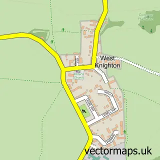
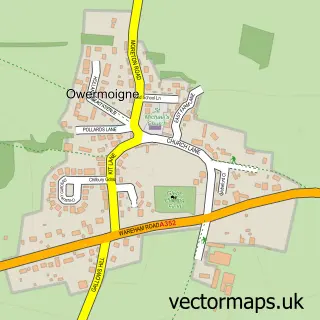
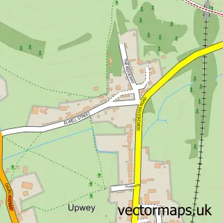
Nearby street map samples around Osmington
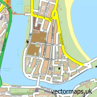

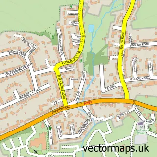
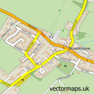
More street maps in Dorset
750 metre map area coverage
Boundary, postcode and point of interest information for the 750m x 750m rectangle centred on this sample map.
Boundaries containing map centre
Constituency: South Dorset Co Const
District: Dorset
Icb: NHS Dorset ICB
Parish: Osmington CP
Police Force: dorset
Postcode District: DT3
Postcode Sector: DT3 6
Ward: Crossways Ward
Nearby boundaries intersecting sample
No additional intersecting boundaries found.
Postcode coverage
POI category counts
Building Supply Store: 2
Community Services Non Profits: 2
Professional Services: 2
Agricultural Service: 1
Church Cathedral: 1
Community Center: 1
Dairy Farm: 1
Electrician: 1
Gardener: 1
Meditation Center: 1
Sample points of interest
- Heritage Seeds
- Electric Sweep
- Wessex Plumbing & Heating Services
- St Osmund's Church
- Osmington Village Hall
- AsOne Theatre Company
- AsOne theatre company
- Craig's Farm Dairy
- M Desmond
- White Horse Garden Services
- Sonic Sound Bath
- Rachel Scott Sound & Music Services
Create a larger editable map of Osmington
This sample shows only a 750 metre area. To create a larger map of Osmington, use our map builder to choose your own coverage area, add titles and download editable SVG, PDF and PNG files.
Create a custom map of Osmington