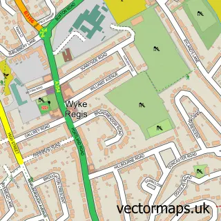
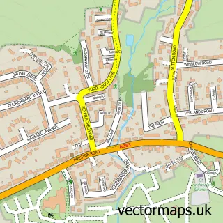
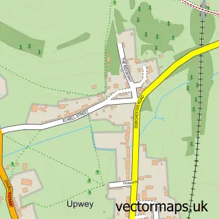
This Weymouth street map is a detailed vector street map covering a 750m x 750m area. Select a larger area to create and download your own vector street map of Weymouth.
The 750-metre map sample for Weymouth covers 108 mapped buildings and approximately 21.4 km of road detail, of which 49 named roads are named. The immediate area includes 4 GP surgeries within 2 miles, 41 pubs and 1 MOT station, with 16 within 2 miles. The wider area around Weymouth features 7 tourism points of interest, 105 food and drink venues and 24 hotels. To create a larger or custom map of Weymouth, the map builder lets you define your own coverage area and download editable SVG, PDF and PNG files.
Create a larger editable map of Weymouth
Choose any area you need and generate a high-quality vector map instantly. Perfect for print, planning, design, business and personal use.

This Weymouth street map in Dorset is available as downloadable SVG, PDF and PNG map files, or as a printed map for planning, business, display, education, local information and design work. You can also create a larger custom map area using the map selector.
What this Weymouth map sample shows
Weymouth lies within Weymouth Cp parish, part of Rodwell & Wyke ward in the Dorset local authority area. The postcode geography for this area includes the DT postcode area, the DT4 postcode district and the DT4 8 postcode sector. Residents fall under the Nhs Dorset Integrated Care Board for NHS services.
Local features near Weymouth
Within 2 milesAmenities and services in and around Weymouth.
Administrative and postcode information for Weymouth
The local authority covering Weymouth is Dorset, within the county of Dorset. The settlement lies within Rodwell & Wyke ward and Weymouth Cp civil parish. The DT4 postcode district and DT4 8 postcode sector serve the immediate area. NHS provision in the area is delivered through Dorset County Hospital Nhs Foundation Trust.
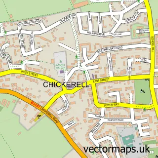
Nearby street map samples around Weymouth

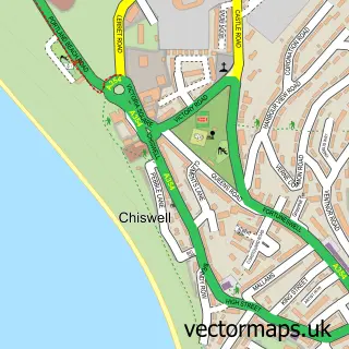
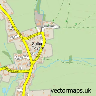
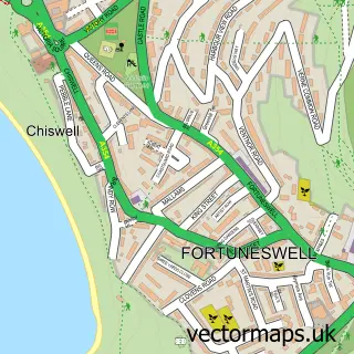
More street maps in Dorset
750 metre map area coverage
Boundary, postcode and point of interest information for the 750m x 750m rectangle centred on this sample map.
Boundaries containing map centre
Constituency: South Dorset Co Const
District: Dorset
Icb: NHS Dorset ICB
Parish: Weymouth CP
Police Force: dorset
Postcode District: DT4
Postcode Sector: DT4 8
Ward: Melcombe Regis Ward
Nearby boundaries intersecting sample
Postcode Sector: DT4 0, DT4 7
Ward: Radipole Ward, Rodwell & Wyke Ward, Westham Ward
Postcode coverage
POI category counts
Pub: 41
Bed And Breakfast: 26
Cafe: 25
Hotel: 24
Clothing Store: 23
Coffee Shop: 20
Beauty Salon: 19
Flowers And Gifts Shop: 19
Restaurant: 19
Barber: 15
Sample points of interest
- Harbourside Holidays
- Whitesands Seafront Apartments
- A Hunter and Co
- Fearless diving
- AcuHerbs - Acupuncture & Chinese Herbal Medicine
- AcuHerbs - Weymouth Acupuncture & Chinese Herbal Medicine
- Acuherbs
- Garnet Social
- Modern Magazines Ltd
- Sprida
- Wonderful Weymouth Magazine
- Dr China
Create a larger editable map of Weymouth
This sample shows only a 750 metre area. To create a larger map of Weymouth, use our map builder to choose your own coverage area, add titles and download editable SVG, PDF and PNG files.
Create a custom map of Weymouth