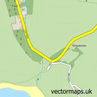
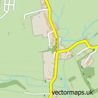
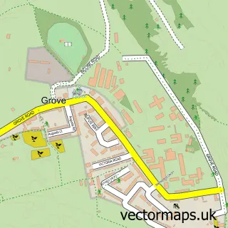
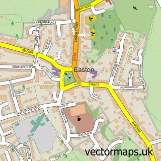
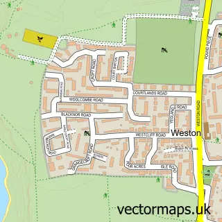
This Wyke Regis street map is a detailed vector street map covering a 750m x 750m area. Select a larger area to create and download your own vector street map of Wyke Regis.
The 750-metre map sample for Wyke Regis covers 498 mapped buildings and approximately 17.0 km of road detail, of which 30 named roads are named. The immediate area includes 2 primary schools and 1 secondary school, 1 GP surgery, with 4 within 2 miles, 1 pub and 16 MOT stations within 2 miles. The wider area around Wyke Regis features 1 tourism point of interest, 6 food and drink venues and 1 hotel. To create a larger or custom map of Wyke Regis, the map builder lets you define your own coverage area and download editable SVG, PDF and PNG files.
Create a larger editable map of Wyke Regis
Choose any area you need and generate a high-quality vector map instantly. Perfect for print, planning, design, business and personal use.

This Wyke Regis street map in Dorset is available as downloadable SVG, PDF and PNG map files, or as a printed map for planning, business, display, education, local information and design work. You can also create a larger custom map area using the map selector.
What this Wyke Regis map sample shows
Wyke Regis lies within Weymouth Cp parish, part of Rodwell & Wyke ward in the Dorset local authority area. The postcode geography for this area includes the DT postcode area, the DT4 postcode district and the DT4 9 postcode sector. Residents fall under the Nhs Dorset Integrated Care Board for NHS services.
Local features near Wyke Regis
Within 2 milesAmenities and services in and around Wyke Regis.
Administrative and postcode information for Wyke Regis
Wyke Regis lies within Weymouth Cp parish, part of Rodwell & Wyke ward in the Dorset local authority area. The postcode geography for this area includes the DT postcode area, the DT4 postcode district and the DT4 9 postcode sector. Residents fall under the Nhs Dorset Integrated Care Board for NHS services.
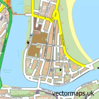
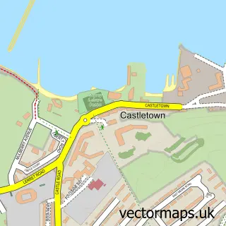
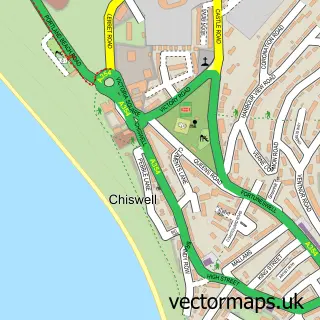
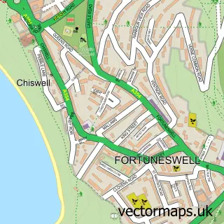
Nearby street map samples around Wyke Regis

More street maps in Dorset
750 metre map area coverage
Boundary, postcode and point of interest information for the 750m x 750m rectangle centred on this sample map.
Boundaries containing map centre
Constituency: South Dorset Co Const
District: Dorset
Icb: NHS Dorset ICB
Parish: Weymouth CP
Police Force: dorset
Postcode District: DT4
Postcode Sector: DT4 9
Ward: Rodwell & Wyke Ward
Nearby boundaries intersecting sample
No additional intersecting boundaries found.
Postcode coverage
POI category counts
Hair Salon: 5
Preschool: 3
Arts And Entertainment: 2
Bakery: 2
Beauty And Spa: 2
Beauty Salon: 2
Cafe: 2
Caterer: 2
Convenience Store: 2
Dentist: 2
Sample points of interest
- Seaside Pilates and Fitness with Debbie Tizard
- Subsea Equipment Maintenance
- Design 41
- Fine Line Portraits
- Wyke Playing Field
- The Mobile Auto Clinic
- Dorset Cake Co
- Sweet Sarahbration Cakes
- Wyke barbers
- Chisel Beach
- Hair by Jess
- TBT Aesthetics
Create a larger editable map of Wyke Regis
This sample shows only a 750 metre area. To create a larger map of Wyke Regis, use our map builder to choose your own coverage area, add titles and download editable SVG, PDF and PNG files.
Create a custom map of Wyke Regis