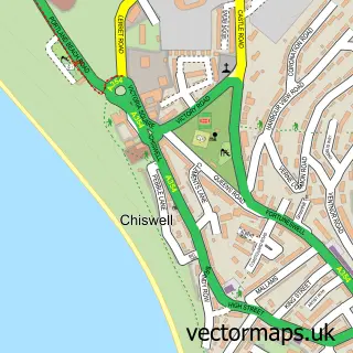
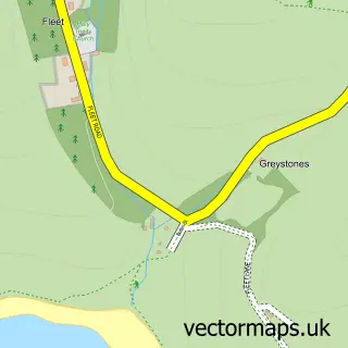
This Fortuneswell street map is a detailed vector street map covering a 750m x 750m area. Select a larger area to create and download your own vector street map of Fortuneswell.
The 750-metre map sample for Fortuneswell covers 299 mapped buildings and approximately 18.7 km of road detail, of which 41 named roads are named. The immediate area includes 1 GP surgery within 2 miles, 7 pubs and 4 MOT stations within 2 miles. The wider area around Fortuneswell features 1 tourism point of interest, 11 food and drink venues and 5 hotels. To create a larger or custom map of Fortuneswell, the map builder lets you define your own coverage area and download editable SVG, PDF and PNG files.
Create a larger editable map of Fortuneswell
Choose any area you need and generate a high-quality vector map instantly. Perfect for print, planning, design, business and personal use.

This Fortuneswell street map in Dorset is available as downloadable SVG, PDF and PNG map files, or as a printed map for planning, business, display, education, local information and design work. You can also create a larger custom map area using the map selector.
What this Fortuneswell map sample shows
Fortuneswell lies within Portland Cp parish, part of Portland ward in the Dorset local authority area. The postcode geography for this area includes the DT postcode area, the DT5 postcode district and the DT5 1 postcode sector. Residents fall under the Nhs Dorset Integrated Care Board for NHS services.
Local features near Fortuneswell
Within 2 milesAmenities and services in and around Fortuneswell.
Administrative and postcode information for Fortuneswell
Fortuneswell lies within Portland Cp parish, part of Portland ward in the Dorset local authority area. The postcode geography for this area includes the DT postcode area, the DT5 postcode district and the DT5 1 postcode sector. Residents fall under the Nhs Dorset Integrated Care Board for NHS services.
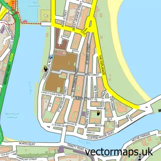
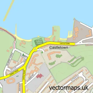
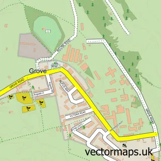
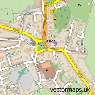
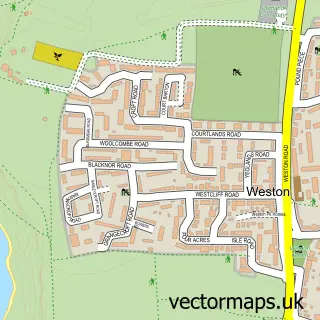
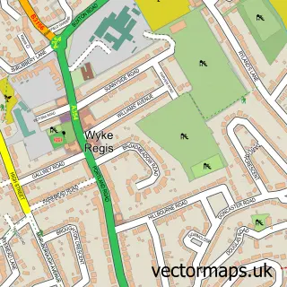
Nearby street map samples around Fortuneswell

More street maps in Dorset
750 metre map area coverage
Boundary, postcode and point of interest information for the 750m x 750m rectangle centred on this sample map.
Boundaries containing map centre
Constituency: South Dorset Co Const
District: Dorset
Icb: NHS Dorset ICB
Parish: Portland CP
Police Force: dorset
Postcode District: DT5
Postcode Sector: DT5 1
Ward: Portland Ward
Nearby boundaries intersecting sample
Postcode Sector: DT5 2
Postcode coverage
POI category counts
Pub: 7
Holiday Rental Home: 5
Hotel: 5
Beach: 4
Community Services Non Profits: 4
Fish And Chips Restaurant: 4
Self Catering Accommodation: 4
Cafe: 3
Hostel: 3
Anglican Church: 2
Sample points of interest
- St John the Baptist, Fortuneswell, Portland
- St John's Church
- Jurassic Aquatics
- coa architecture
- The Cooperative Food (BF) Fortuneswell
- Rightrak Limited
- Magically Crafted Cakes
- Sidebar Portland
- Chesil Cove
- Chesil Cove Portland
- Chiswell
- Portland Beach
Create a larger editable map of Fortuneswell
This sample shows only a 750 metre area. To create a larger map of Fortuneswell, use our map builder to choose your own coverage area, add titles and download editable SVG, PDF and PNG files.
Create a custom map of Fortuneswell