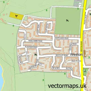
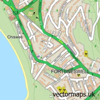
This Easton street map is a detailed vector street map covering a 750m x 750m area. Select a larger area to create and download your own vector street map of Easton.
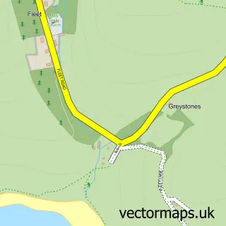
The 750-metre map sample for Easton covers 362 mapped buildings and approximately 13.5 km of road detail, of which 33 named roads are named. The immediate area includes 1 school, 1 GP surgery, 4 pubs and 4 MOT stations within 2 miles. The wider area around Easton features 3 tourism points of interest, 8 food and drink venues and 1 hotel. To create a larger or custom map of Easton, the map builder lets you define your own coverage area and download editable SVG, PDF and PNG files.
Create a larger editable map of Easton
Choose any area you need and generate a high-quality vector map instantly. Perfect for print, planning, design, business and personal use.

This Easton street map in Dorset is available as downloadable SVG, PDF and PNG map files, or as a printed map for planning, business, display, education, local information and design work. You can also create a larger custom map area using the map selector.
What this Easton map sample shows
Easton lies within Portland Cp parish, part of Portland ward in the Dorset local authority area. The postcode geography for this area includes the DT postcode area, the DT5 postcode district and the DT5 1 postcode sector. Residents fall under the Nhs Dorset Integrated Care Board for NHS services.
Local features near Easton
Within 2 milesAmenities and services in and around Easton.
Administrative and postcode information for Easton
Easton lies within Portland Cp parish, part of Portland ward in the Dorset local authority area. The postcode geography for this area includes the DT postcode area, the DT5 postcode district and the DT5 1 postcode sector. Residents fall under the Nhs Dorset Integrated Care Board for NHS services.
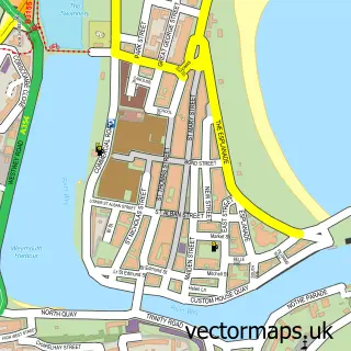
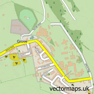
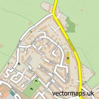
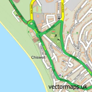
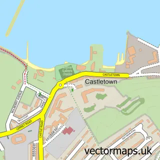
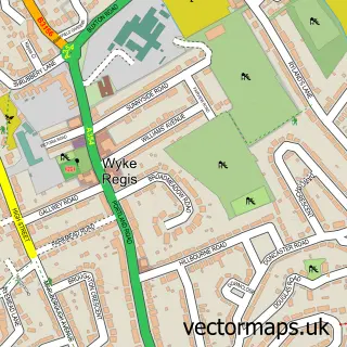
Nearby street map samples around Easton

More street maps in Dorset
750 metre map area coverage
Boundary, postcode and point of interest information for the 750m x 750m rectangle centred on this sample map.
Boundaries containing map centre
Constituency: South Dorset Co Const
District: Dorset
Icb: NHS Dorset ICB
Parish: Portland CP
Police Force: dorset
Postcode District: DT5
Postcode Sector: DT5 1
Ward: Portland Ward
Nearby boundaries intersecting sample
Postcode Sector: DT5 2
Postcode coverage
POI category counts
Hair Salon: 5
Cafe: 4
Pub: 4
Arts And Crafts: 3
Beauty Salon: 3
Flowers And Gifts Shop: 3
Real Estate Agent: 3
Self Catering Accommodation: 3
Arts And Entertainment: 2
Beauty And Spa: 2
Sample points of interest
- AdMap
- Weldmar Hospicecare Trust Shop
- Island Gallery
- Quirky Zebra
- The Paper Lighthouse
- The Wool Shop
- Isle Of Portland Heritage Trust
- White Stones Studios
- Synergy Housing
- The Cooperative Food (BF) Easton Square
- Alpha Windows
- Emma's Cakery
Create a larger editable map of Easton
This sample shows only a 750 metre area. To create a larger map of Easton, use our map builder to choose your own coverage area, add titles and download editable SVG, PDF and PNG files.
Create a custom map of Easton