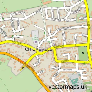
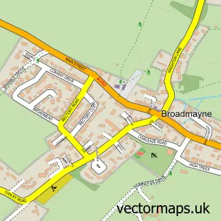
This Upwey street map is a detailed vector street map covering a 750m x 750m area. Select a larger area to create and download your own vector street map of Upwey.
The 750-metre map sample for Upwey covers 119 mapped buildings and approximately 5.1 km of road detail, of which 5 named roads are named. The immediate area includes 3 pubs. The wider area around Upwey features 3 food and drink venues, 1 hotel and 2 campsites within 2 miles. To create a larger or custom map of Upwey, the map builder lets you define your own coverage area and download editable SVG, PDF and PNG files.
Create a larger editable map of Upwey
Choose any area you need and generate a high-quality vector map instantly. Perfect for print, planning, design, business and personal use.

This Upwey street map in Dorset is available as downloadable SVG, PDF and PNG map files, or as a printed map for planning, business, display, education, local information and design work. You can also create a larger custom map area using the map selector.
What this Upwey map sample shows
Upwey lies within Weymouth Cp parish, part of Upwey & Broadwey ward in the Dorset local authority area. The postcode geography for this area includes the DT postcode area, the DT3 postcode district and the DT3 5 postcode sector. Residents fall under the Nhs Dorset Integrated Care Board for NHS services.
Local features near Upwey
Within 2 milesAmenities and services in and around Upwey.
Administrative and postcode information for Upwey
Upwey lies within Weymouth Cp parish, part of Upwey & Broadwey ward in the Dorset local authority area. The postcode geography for this area includes the DT postcode area, the DT3 postcode district and the DT3 5 postcode sector. Residents fall under the Nhs Dorset Integrated Care Board for NHS services.
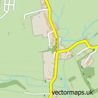
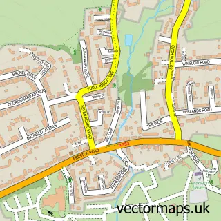
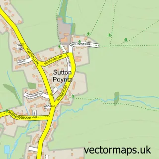
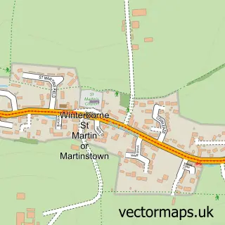
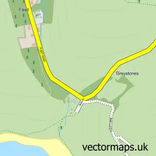
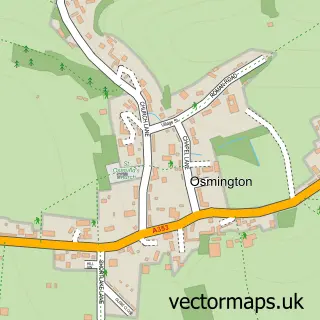
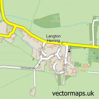
Nearby street map samples around Upwey

More street maps in Dorset
750 metre map area coverage
Boundary, postcode and point of interest information for the 750m x 750m rectangle centred on this sample map.
Boundaries containing map centre
Constituency: South Dorset Co Const
District: Dorset
Icb: NHS Dorset ICB
Parish: Weymouth CP
Police Force: dorset
Postcode District: DT3
Postcode Sector: DT3 5
Ward: Upwey & Broadwey Ward
Nearby boundaries intersecting sample
Constituency: West Dorset Co Const
Ward: Winterborne & Broadmayne Ward
Postcode coverage
POI category counts
Pub: 3
Architect: 1
Bakery: 1
Community Services Non Profits: 1
Engineering Services: 1
Hotel: 1
Printing Services: 1
Travel Agents: 1
Tree Services: 1
Sample points of interest
- W4 Projects
- Lizzie Baking Bird
- GO Girls
- W4 Projects
- Riverhouse B&B
- Ancient Wessex Network CIC
- The Old Ship Inn
- The Old Ship Inn
- The Royal Standard
- Medics Away
- Acorn to Oak Tree Services
Create a larger editable map of Upwey
This sample shows only a 750 metre area. To create a larger map of Upwey, use our map builder to choose your own coverage area, add titles and download editable SVG, PDF and PNG files.
Create a custom map of Upwey