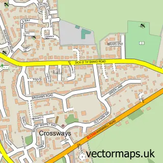
This Broadmayne street map is a detailed vector street map covering a 750m x 750m area. Select a larger area to create and download your own vector street map of Broadmayne.
The 750-metre map sample for Broadmayne covers 273 mapped buildings and approximately 10.1 km of road detail, of which 21 named roads are named. The immediate area includes 1 pub and 1 MOT station within 2 miles. The wider area around Broadmayne features 1 food and drink venue. To create a larger or custom map of Broadmayne, the map builder lets you define your own coverage area and download editable SVG, PDF and PNG files.
Create a larger editable map of Broadmayne
Choose any area you need and generate a high-quality vector map instantly. Perfect for print, planning, design, business and personal use.

This Broadmayne street map in Dorset is available as downloadable SVG, PDF and PNG map files, or as a printed map for planning, business, display, education, local information and design work. You can also create a larger custom map area using the map selector.
What this Broadmayne map sample shows
Broadmayne lies within Broadmayne Cp parish, part of Winterborne & Broadmayne ward in the Dorset local authority area. The postcode geography for this area includes the DT postcode area, the DT2 postcode district and the DT2 8 postcode sector. Residents fall under the Nhs Dorset Integrated Care Board for NHS services.
Local features near Broadmayne
Within 2 milesAmenities and services in and around Broadmayne.
Administrative and postcode information for Broadmayne
The local authority covering Broadmayne is Dorset, within the county of Dorset. The settlement lies within Winterborne & Broadmayne ward and Broadmayne Cp civil parish. The DT2 postcode district and DT2 8 postcode sector serve the immediate area. NHS provision in the area is delivered through Dorset County Hospital Nhs Foundation Trust.
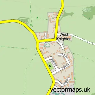
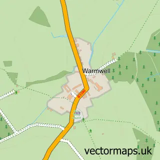
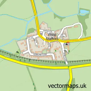
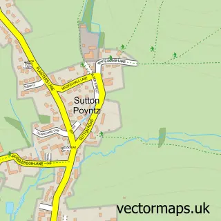
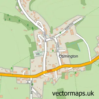
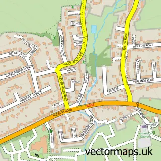
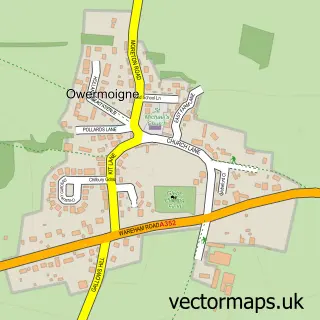
Nearby street map samples around Broadmayne
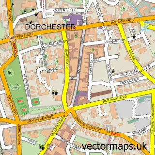

More street maps in Dorset
750 metre map area coverage
Boundary, postcode and point of interest information for the 750m x 750m rectangle centred on this sample map.
Boundaries containing map centre
Constituency: West Dorset Co Const
District: Dorset
Icb: NHS Dorset ICB
Parish: Broadmayne CP
Police Force: dorset
Postcode District: DT2
Postcode Sector: DT2 8
Ward: Winterborne & Broadmayne Ward
Nearby boundaries intersecting sample
Parish: West Knighton CP
Postcode coverage
POI category counts
Building Supply Store: 2
Convenience Store: 2
Marketing Consultant: 2
Shipping Center: 2
Active Life: 1
Advertising Agency: 1
Anglican Church: 1
Auto Detailing: 1
Automotive Services And Repair: 1
Bakery: 1
Sample points of interest
- Uncle Mick Entertainments Ltd
- Winfrith Graphic Services
- St Martin, Broadmayne
- Phv
- David Bridle
- The Dorset Cake Shed
- L'ORGANIQ
- Barton Cottage Broadmayne
- JDP Dorchester
- John Davidson Pipes
- Premier Corner House Store
- SPAR Broadmayne
Create a larger editable map of Broadmayne
This sample shows only a 750 metre area. To create a larger map of Broadmayne, use our map builder to choose your own coverage area, add titles and download editable SVG, PDF and PNG files.
Create a custom map of Broadmayne