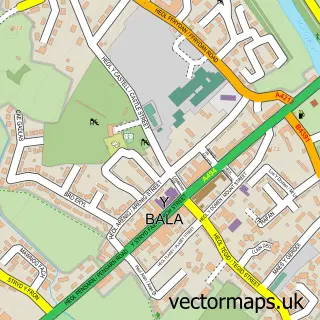
This Cerrigydrudion street map is a detailed vector street map covering a 750m x 750m area. Select a larger area to create and download your own vector street map of Cerrigydrudion.
The 750-metre map sample for Cerrigydrudion covers 163 mapped buildings and approximately 8.3 km of road detail, of which 9 named roads are named. The immediate area includes 1 school and 2 pubs. The wider area around Cerrigydrudion features 1 tourism point of interest, 3 food and drink venues and 2 campsites within 2 miles. To create a larger or custom map of Cerrigydrudion, the map builder lets you define your own coverage area and download editable SVG, PDF and PNG files.
Create a larger editable map of Cerrigydrudion
Choose any area you need and generate a high-quality vector map instantly. Perfect for print, planning, design, business and personal use.

This Cerrigydrudion street map in Clwyd is available as downloadable SVG, PDF and PNG map files, or as a printed map for planning, business, display, education, local information and design work. You can also create a larger custom map area using the map selector.
What this Cerrigydrudion map sample shows
Cerrigydrudion lies within Cerrigydrudion Community parish, part of Uwchaled ward in the Conwy - Conwy local authority area. The postcode geography for this area includes the LL postcode area, the LL21 postcode district and the LL21 9 postcode sector. Residents fall under the Betsi Cadwaladr University Health Board for NHS services.
Local features near Cerrigydrudion
Within 2 milesAmenities and services in and around Cerrigydrudion.
Administrative and postcode information for Cerrigydrudion
The local authority covering Cerrigydrudion is Conwy - Conwy, within the county of Clwyd. The settlement lies within Uwchaled ward and Cerrigydrudion Community civil parish. The LL21 postcode district and LL21 9 postcode sector serve the immediate area. NHS provision in the area is delivered through Betsi Cadwaladr University Health Board.
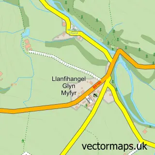
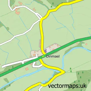
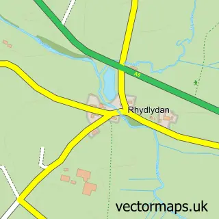
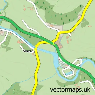
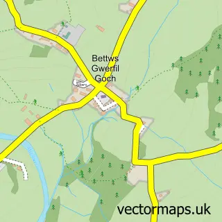
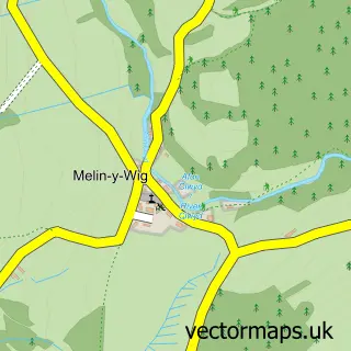
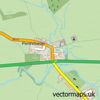
Nearby street map samples around Cerrigydrudion

More street maps in Clwyd
750 metre map area coverage
Boundary, postcode and point of interest information for the 750m x 750m rectangle centred on this sample map.
Boundaries containing map centre
Constituency: Bangor Aberconwy Co Const
District: Conwy - Conwy
Icb: Betsi Cadwaladr University
Parish: Cerrigydrudion Community
Police Force: north wales
Postcode District: LL21
Postcode Sector: LL21 9
Nearby boundaries intersecting sample
Postcode Sector: LL21 0
Postcode coverage
POI category counts
Church Cathedral: 3
Pub: 2
Active Life: 1
Automotive Repair: 1
Campus Building: 1
Convenience Store: 1
Cottage: 1
Education: 1
Landmark And Historical Building: 1
Post Office: 1
Sample points of interest
- Heng Genting Mountain Adventures
- JP Accident Repair
- Ysgol Cerrigydrudion
- Eglwys Cerrigydrudion Church
- Messy Church Cerrigydrudion
- St Mary Magdalen's Church
- Londis
- Y Nyth
- Canolfan Addysg Uwchaled School
- Glyndyfrdwy
- Siop Uwchaled
- Saracens Head Hotel
Create a larger editable map of Cerrigydrudion
This sample shows only a 750 metre area. To create a larger map of Cerrigydrudion, use our map builder to choose your own coverage area, add titles and download editable SVG, PDF and PNG files.
Create a custom map of Cerrigydrudion