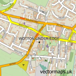
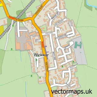
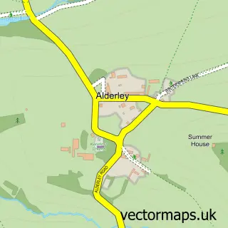
This Charfield street map is a detailed vector street map covering a 750m x 750m area. Select a larger area to create and download your own vector street map of Charfield.
The 750-metre map sample for Charfield covers 540 mapped buildings and approximately 17.8 km of road detail, of which 29 named roads are named. The immediate area includes 1 school, 2 pubs and 1 MOT station, with 4 within 2 miles. The wider area around Charfield features 1 tourism point of interest and 4 food and drink venues. To create a larger or custom map of Charfield, the map builder lets you define your own coverage area and download editable SVG, PDF and PNG files.
Create a larger editable map of Charfield
Choose any area you need and generate a high-quality vector map instantly. Perfect for print, planning, design, business and personal use.

This Charfield street map in Gloucestershire is available as downloadable SVG, PDF and PNG map files, or as a printed map for planning, business, display, education, local information and design work. You can also create a larger custom map area using the map selector.
What this Charfield map sample shows
Charfield lies within Charfield Cp parish, part of Charfield ward in the South Gloucestershire local authority area. The postcode geography for this area includes the GL postcode area, the GL12 postcode district and the GL12 8 postcode sector. Residents fall under the Nhs Bristol, North Somerset And South Gloucestershire Integrated Care Board for NHS services.
Local features near Charfield
Within 2 milesAmenities and services in and around Charfield.
Administrative and postcode information for Charfield
The local authority covering Charfield is South Gloucestershire, within the county of Gloucestershire. The settlement lies within Charfield ward and Charfield Cp civil parish. The GL12 postcode district and GL12 8 postcode sector serve the immediate area. NHS provision in the area is delivered through North Bristol Nhs Trust.
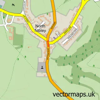
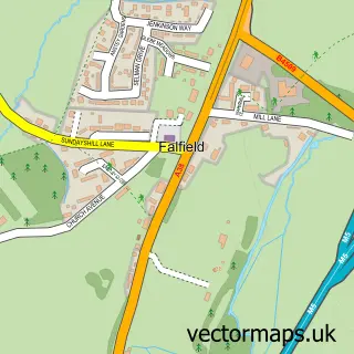
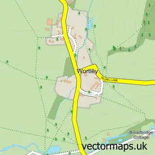
Nearby street map samples around Charfield

More street maps in Gloucestershire
750 metre map area coverage
Boundary, postcode and point of interest information for the 750m x 750m rectangle centred on this sample map.
Boundaries containing map centre
Constituency: Thornbury and Yate Co Const
District: South Gloucestershire
Icb: NHS Bristol North Somerset and South Gloucestershire ICB
Parish: Charfield CP
Police Force: avon and somerset
Postcode District: GL12
Postcode Sector: GL12 8
Ward: Charfield Ward
Nearby boundaries intersecting sample
No additional intersecting boundaries found.
Postcode coverage
POI category counts
Driving School: 3
Gas Station: 3
Professional Services: 3
Automotive Repair: 2
Beauty Salon: 2
Cafe: 2
Car Dealer: 2
Church Cathedral: 2
Convenience Store: 2
Elementary School: 2
Sample points of interest
- Cattle Country Adventure Park
- St John's, Charfield
- Briant Tyre & Exhausts Services
- Briant Tyres - Charfield Garage
- Abi Irwin Aesthetics & Beauty Clinic
- Brows and Inks
- M J Fews Land Rover
- J D Collaboration
- The Bridge
- Vintage Birdcage Cakery on The Bridge
- M J Fews
- M.J. Fews Ltd
Create a larger editable map of Charfield
This sample shows only a 750 metre area. To create a larger map of Charfield, use our map builder to choose your own coverage area, add titles and download editable SVG, PDF and PNG files.
Create a custom map of Charfield