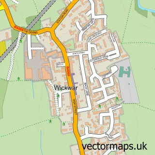
This Kingswood street map is a detailed vector street map covering a 750m x 750m area. Select a larger area to create and download your own vector street map of Kingswood.
The 750-metre map sample for Kingswood covers 360 mapped buildings and approximately 13.3 km of road detail, of which 24 named roads are named. The immediate area includes 1 school, 2 GP surgeries within 2 miles, 2 pubs and 2 MOT stations, with 5 within 2 miles. The wider area around Kingswood features 2 food and drink venues and 1 hotel. To create a larger or custom map of Kingswood, the map builder lets you define your own coverage area and download editable SVG, PDF and PNG files.
Create a larger editable map of Kingswood
Choose any area you need and generate a high-quality vector map instantly. Perfect for print, planning, design, business and personal use.

This Kingswood street map in Gloucestershire is available as downloadable SVG, PDF and PNG map files, or as a printed map for planning, business, display, education, local information and design work. You can also create a larger custom map area using the map selector.
What this Kingswood map sample shows
Kingswood lies within Kingswood Cp parish, part of Kingswood ward in the Stroud District local authority area. The postcode geography for this area includes the GL postcode area, the GL12 postcode district and the GL12 8 postcode sector. Residents fall under the Nhs Gloucestershire Integrated Care Board for NHS services.
Local features near Kingswood
Within 2 milesAmenities and services in and around Kingswood.
Administrative and postcode information for Kingswood
Kingswood lies within Kingswood Cp parish, part of Kingswood ward in the Stroud District local authority area. The postcode geography for this area includes the GL postcode area, the GL12 postcode district and the GL12 8 postcode sector. Residents fall under the Nhs Gloucestershire Integrated Care Board for NHS services.
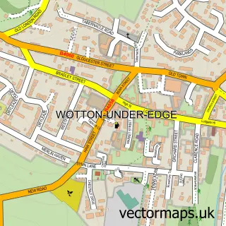
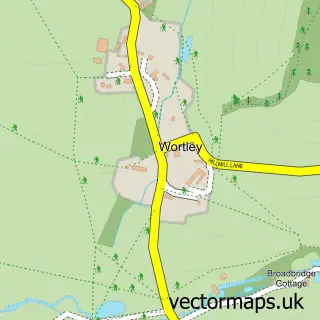
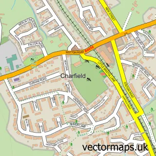
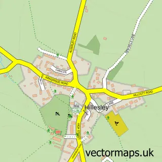
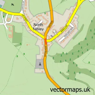
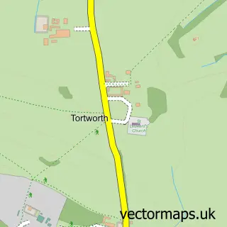
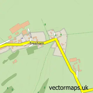
Nearby street map samples around Kingswood


More street maps in Gloucestershire
750 metre map area coverage
Boundary, postcode and point of interest information for the 750m x 750m rectangle centred on this sample map.
Boundaries containing map centre
Constituency: South Cotswolds Co Const
County: Gloucestershire County
District: Stroud District
Icb: NHS Gloucestershire ICB
Parish: Kingswood CP
Police Force: gloucestershire
Postcode District: GL12
Postcode Sector: GL12 8
Ward: Kingswood Ward
Nearby boundaries intersecting sample
No additional intersecting boundaries found.
Postcode coverage
POI category counts
Convenience Store: 3
Post Office: 3
Automotive Repair: 2
Church Cathedral: 2
Gym: 2
Hvac Supplier: 2
Printing Equipment And Supply: 2
Pub: 2
Travel: 2
Amateur Sports Team: 1
Sample points of interest
- Kingswood AFC
- St Mary's Kingswood
- Gecko Paper
- Kingswood Care Centre
- Ultimate Resolution Audio
- Car Clinic
- The Car Clinic
- The Dinneywicks Inn
- Soils HS
- Wedding Day Wagon
- Kingswood Congregational Church
- St Mary's Church
Create a larger editable map of Kingswood
This sample shows only a 750 metre area. To create a larger map of Kingswood, use our map builder to choose your own coverage area, add titles and download editable SVG, PDF and PNG files.
Create a custom map of Kingswood